Near Phelan in San Bernardino County, California — The American West (Pacific Coastal)
Mormon Trail Monument
Photographed by Mark Landis, 2017
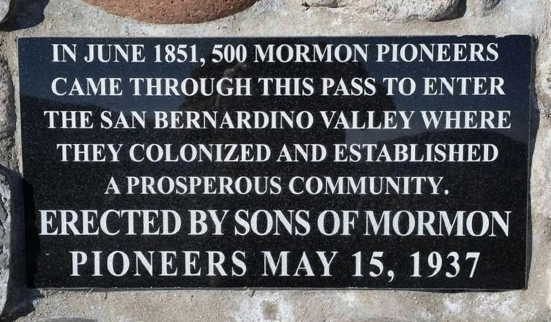
1. Mormon Trail Monument Marker
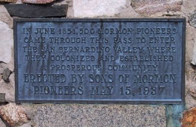
In June 1851, 500 Mormon Pioneers came through this pass to enter the San Bernardino Valley where they colonized and established a prosperous community.
Erected 1937 by Sons of Mormon Pioneers. (Marker Number 577.)
Topics and series. This historical marker and monument is listed in these topic lists: Landmarks • Roads & Vehicles • Settlements & Settlers. In addition, it is included in the California Historical Landmarks, and the Mormon Pioneer Trail series lists. A significant historical month for this entry is June 1851.
Location. 34° 21.089′ N, 117° 31.621′ W. Marker is near Phelan, California, in San Bernardino County. It is at the intersection of California Route 138 and Rastall Road, on the right when traveling west on California Route 138. Touch for map. Marker is in this post office area: Phelan CA 92371, United States of America. Touch for directions.

Regionally, this marker and monument is in Greater Los Angeles, in the Peninsular Ranges, and in the Transverse Ranges. It is also in the American Southwest. Globally, it is in North America, on the Ring of Fire, on the Pacific Rim, in the Western
this page online
Other nearby markers. At least 8 other markers are within 6 miles of this marker, measured as the crow flies: Sanford Cutoff (approx. 3.7 miles away); Hill 582 (approx. 4.3 miles away); Camp Cajon Monument (approx. 4.6 miles away); Camp Cajon (approx. 4.6 miles away); Santa Fe and Salt Lake Trail (approx. 4.7 miles away); Stoddard-Waite Monument (approx. 4.8 miles away); Mormon Pioneer Trail (approx. 4.9 miles away); Phelan Memorial Library (approx. 6 miles away). Touch for a list and map of all markers in Phelan.
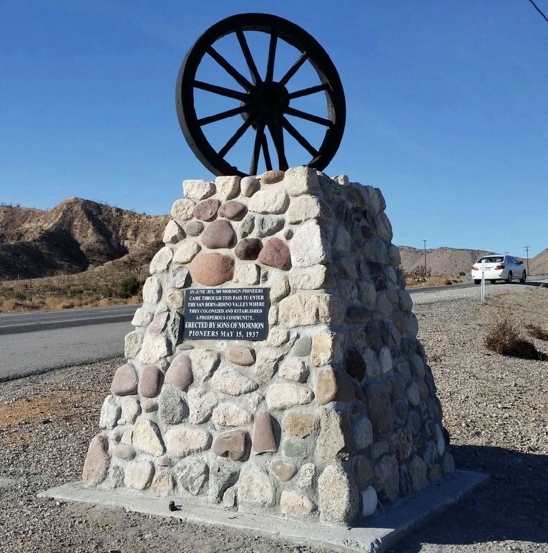
More about this marker. When the highway was widened in 2017, a new monument was built. The original was in poor condition and it was moved to Wagon Train Ranch in Phelan, CA. The old trail can be seen crossing the ridge near the monument.
This is California Historical Landmark No. 577 — Mormon Trail Monument.
Photographed by Mark Landis, 2017
2. Mormon Trail Monument
Photographed by Craig Baker, 2018
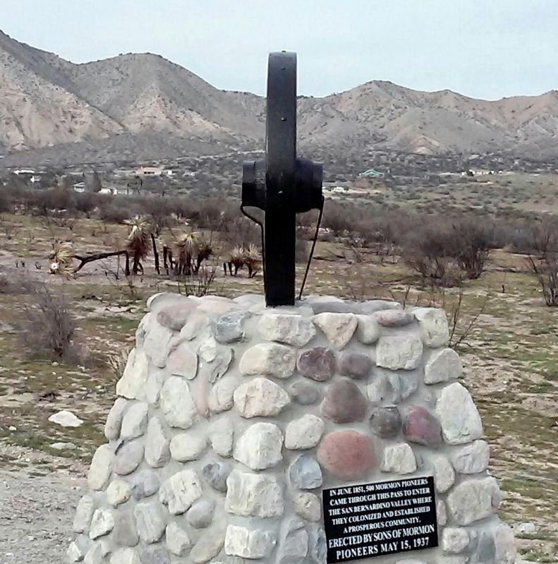
3. Mormon Trail Monument
The wheel points to the place on the ridge where the trail was.
Photographed by Michael Kindig, April 10, 2006
4. Mormon Trail Monument Marker
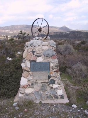
Photographed by Michael Kindig, April 10, 2006
5. Mormon Trail Monument Marker
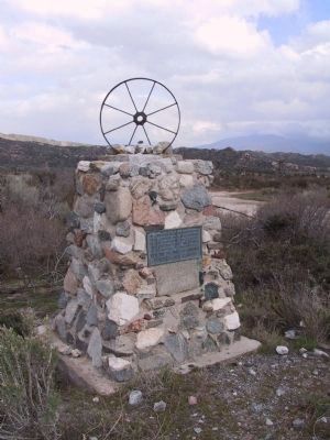
Photographed by Michael Kindig, April 10, 2006
6. Mormon Trail Monument Marker
Credits. This page was last revised on March 12, 2020. It was originally submitted on December 28, 2011, by Michael Kindig of Elk Grove, California. This page has been viewed 3,181 times since then and 139 times this year. Last updated on October 2, 2019, by Craig Baker of Sylmar, California. Photos: 1, 2. submitted on October 2, 2019, by Craig Baker of Sylmar, California. 3. submitted on March 10, 2020, by Craig Baker of Sylmar, California. 4, 5, 6. submitted on December 28, 2011, by Michael Kindig of Elk Grove, California. • J. Makali Bruton was the editor who published this page.
