Franklin in Williamson County, Tennessee — The American South (East South Central)
Franklin Downtown Historic District
Photographed by Larry Gertner, June 20, 2019
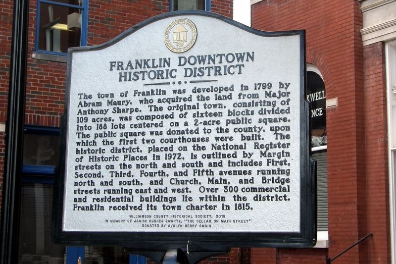
1. Franklin Downtown Historic District Marker
The town of Franklin was developed in 1799 by Abram Maury, who acquired the land from Major Anthony Sharpe. The original town, consisting of 109 acres, was composed of sixteen blocks divided into 188 lots centered on a 2-acre public square. The public square was donated to the county, upon which the first two courthouses were built. The historic district, placed on the National Register of Historic Places in 1972, is outlined by Margin streets on the north and south and include First, Second, Third, Fourth, and Fifth avenues running north and south, and Church, Main, and Bridge streets running east and west. Over 300 commercial and residential buildings lie within the district. Franklin received its town charter in 1815.
Williamson County Historical Society, 2015
In memory of Janice Hughes Swartz, “The Cellar on Main Street”
Donated by Avalyn Berry Swain
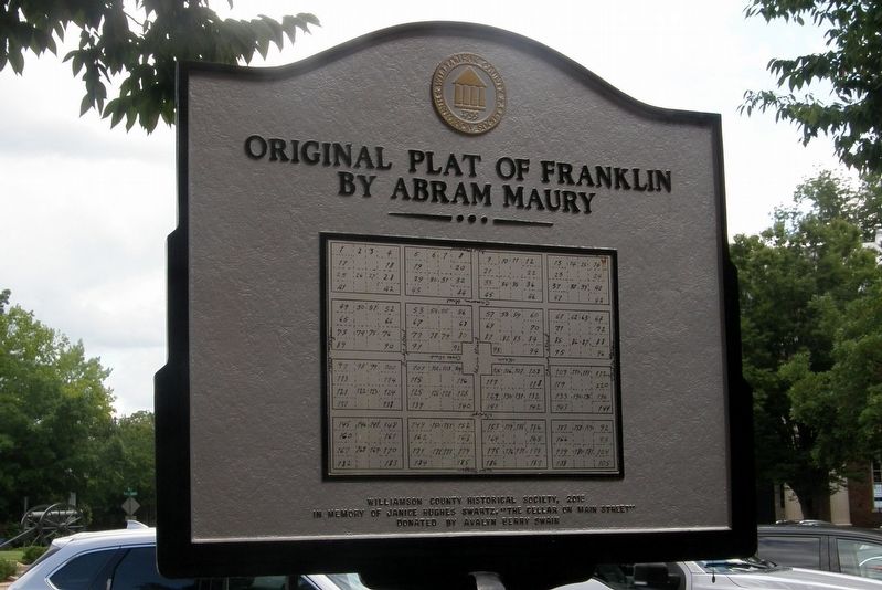
Reverse: Original Plat of Franklin by Abram Maury
Erected 2015 by Williamson County Historical Society.
Topics and series. This historical marker is listed in this topic list: Settlements & Settlers. In addition, it is included in the Tennessee – Williamson County Historical Society
this page online
Location. 35° 55.519′ N, 86° 52.163′ W. Marker is in Franklin, Tennessee, in Williamson County. It is on Public Square near Main Street. Touch for map. Marker is at or near this postal address: 304 Public Square, Franklin TN 37064, United States of America. Touch for directions.

Regionally, this marker is in Middle Tennessee and in Greater Nashville. It is also in the American South and specifically in the Upper South. Globally, it is in North America, the Western Hemisphere, the Western World, and the Anglosphere. Historically, it finds itself in what was once the territory of the Mississippian Culture, one of the Confederate States of America, and the Antebellum South.
Other nearby markers. At least 8 other markers are within walking distance of this marker: Maury-Darby Building (a few steps from this marker); 320 Main Street (within shouting distance of this marker); Franklin Town Square (within shouting distance of this marker); Our Confederate Soldiers (within shouting distance of this marker); The Battle of Franklin (within shouting distance of this marker);
Photographed by Larry Gertner, June 20, 2019
2. Franklin Downtown Historic District Marker
Reverse side
Also see . . . Abram Maury - Williamson County Historical Society. Background information to the founding of Franklin by Abram Maury, including text of legal document and plat close-up. (Submitted on May 2, 2020.)
Photographed by Larry Gertner, June 20, 2019
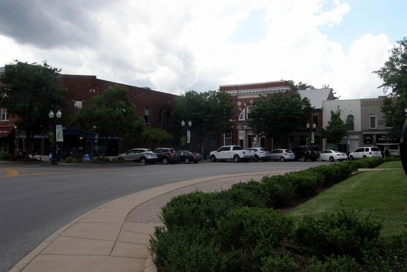
3. Franklin Downtown Historic District marker site
The southwest corner of Public Square. The marker is in this quadrant.
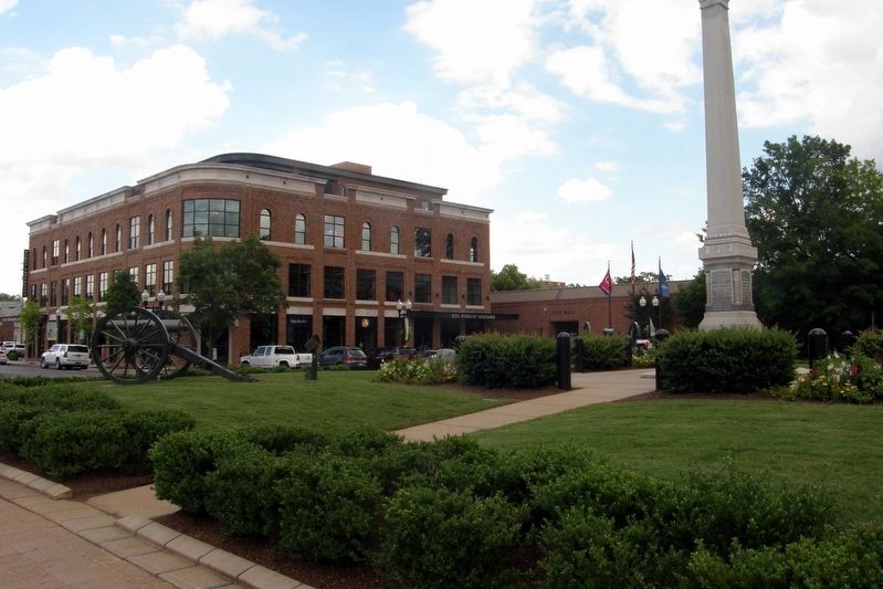
Photographed by Larry Gertner, June 20, 2019
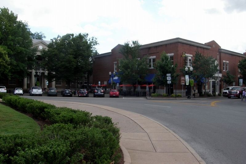
4. Public Square, southeast corner
The Williamson County Courthouse is in this quadrant.
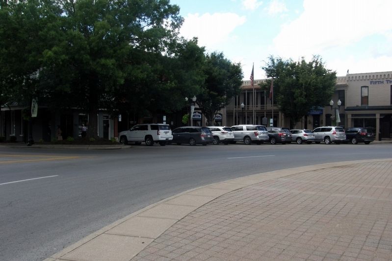
Photographed by Larry Gertner, June 20, 2019
5. Public Square, northeast corner
City Hall is in this quadrant.
Photographed by Larry Gertner, June 20, 2019
6. Public Square, northwest corner
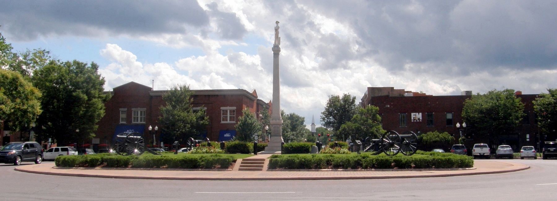
Photographed by Larry Gertner, June 20, 2019
7. The center of the Public Square with the Confederate Soldiers Monument topped by "The Sentry"
Credits. This page was last revised on May 2, 2020. It was originally submitted on October 2, 2019, by Larry Gertner of New York, New York. This page has been viewed 855 times since then and 103 times this year. Photos: 1, 2, 3, 4, 5, 6, 7. submitted on October 2, 2019, by Larry Gertner of New York, New York. • Andrew Ruppenstein was the editor who published this page.
