Waynesboro, Virginia — The American South (Mid-Atlantic)
River Crossings & Bridges
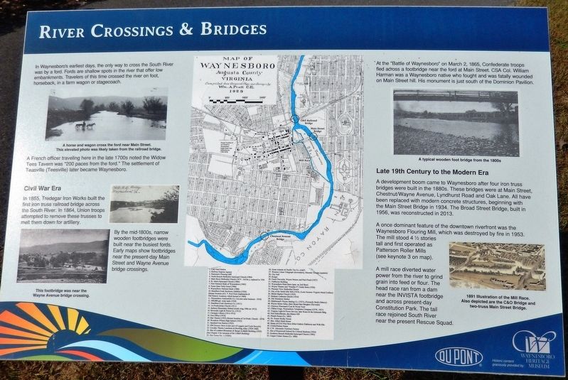
A French officer traveling here in the late 1700s noted the Widow Tees Tavern was "200 paces from the ford." The settlement of Teasville (Teesville) later became Waynesboro.
Civil War Era
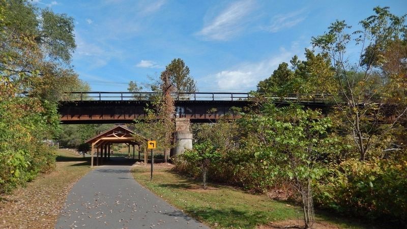
In 1855, Tredegar Iron Works built the first iron truss railroad bridge across the South River. In 1864, Union troops attempted to remove these trusses to melt them down for artillery.
By the mid-1800s, narrow wooden footbridges were built near the busiest fords. Early maps show footbridges near the present-day Main Street and Wayne Avenue bridge crossings.
At the "Battle of Waynesboro" on March 2, 1865, Confederate troops fled across a footbridge near the ford at Main Street. CSA Col. William Harman was a Waynesboro native who fought and was fatally wounded on Main Street hill. His monument is just south of the Dominion Pavilion.
Late 19th Century to the Modern Era
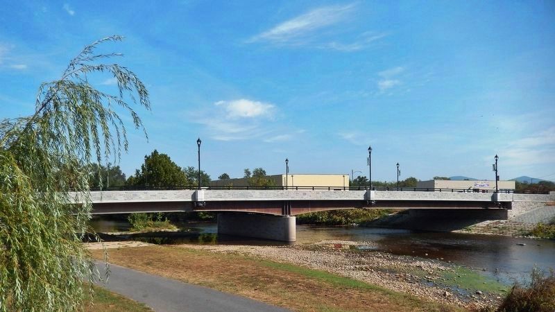
A development boom came to Waynesboro after four iron truss bridges were built in the 1880s. These bridges were at Main Street, Chestnut/Wayne Avenue, Lyndhurst Road and Oak Lane. All have been replaced with modern concrete structures, beginning with the Main Street Bridge in 1934. The Broad Street Bridge, built in 1956, was reconstructed in 2013.
A once dominant feature of the downtown riverfront was the Waynesboro Flouring Mill, which was destroyed by fire in 1953. The mill stood 4 1/2 stories tall and first operated as Patterson Roller Mills (see keynote 3 on map).
A mill race diverted water power from the river to grind grain into feed or flour. The head race ran from a dam near the INVISTA footbridge and across present-day Constitution Park. The tail race rejoined South River near the present Rescue Squad.
Erected by DuPont and the Waynesboro Heritage Museum.
Topics. This historical marker is listed in these topic lists: Bridges & Viaducts • Industry & Commerce • Roads & Vehicles • War, US Civil.
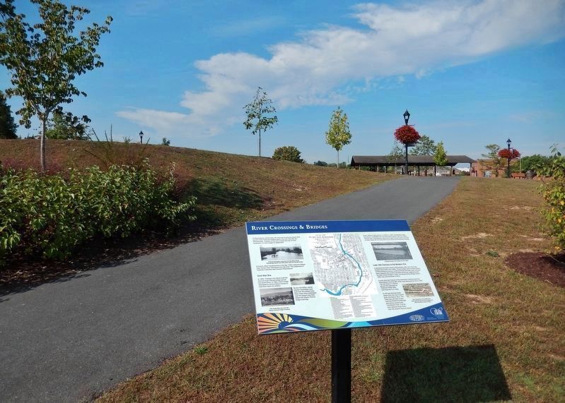
Location. 38° 4.097′ N, 78° 53.092′ W. Marker is in Waynesboro, Virginia. Marker can be reached from West Main Street (U.S. 340) east of Arch Avenue when traveling east. Marker is located on the South River Greenway trail, 1/10 mile east of Arch Avenue and just north of West Main Street. Touch for map. Marker is at or near this postal address: 215 West Main Street, Waynesboro VA 22980, United States of America. Touch for directions.
Other nearby markers. At least 8 other markers are within walking distance
of this marker. Waynesboro (about 400 feet away, measured in a direct line); Ecology of the South River (about 400 feet away); William H. Harman Monument (about 800 feet away); a different marker also named Waynesboro (approx. 0.2 miles away); Fishburne Military School (approx. ¼ mile away); Port Republic Road Historic District (approx. half a mile away); Wooden Water Pipe (approx. 0.6 miles away); Plumb House (approx. 0.6 miles away). Touch for a list and map of all markers in Waynesboro.
Credits. This page was last revised on July 14, 2022. It was originally submitted on October 2, 2019, by Cosmos Mariner of Cape Canaveral, Florida. This page has been viewed 550 times since then and 34 times this year. Photos: 1, 2, 3, 4. submitted on October 2, 2019, by Cosmos Mariner of Cape Canaveral, Florida.


