Near Floyd in Floyd County, Virginia — The American South (Mid-Atlantic)
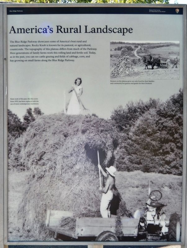
America's Rural Landscape
Blue Ridge Parkway
Photographed by Cosmos Mariner, October 3, 2019
1. America's Rural Landscape Marker
Farm work of the past, like this scene from 1953, has been replaced with the use of more contemporary machinery.
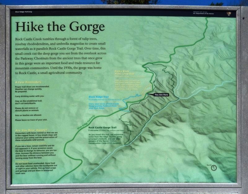
Hike the Gorge (kiosk supplementary panel)
Rock Castle Creek tumbles through a forest of tulip trees, rosebay rhododendron, and umbrella magnolias to create small waterfalls as it parallels Rock Castle Gorge Trail. Over time, this small creek cut the deep gorge you see from the overlook across the Parkway. Chestnuts from the ancient trees that once grew in this gorge were an important food and trade resource for mountain communities. Until the 1930s, the gorge was home to Rock Castle, a small agricultural community.
Erected by National Park Service, U.S. Department of the Interior.
this page online
Topics and series. This historical marker is listed in these topic lists: Agriculture • Parks & Recreational Areas • Settlements & Settlers. In addition, it is included in the Blue Ridge Parkway series list. A significant historical year for this entry is 1953.
Location. 36° 48.692′ N, 80° 20.986′ W. Marker is near Floyd, Virginia, in Floyd County. It is on Blue Ridge Parkway (at milepost 169), on the right when traveling south. Marker is located at the Blue Ridge Parkway Rocky Knob Visitor Center, near the building entrance. Touch for map. Marker is at or near this postal address: 1670 Blue Ridge Parkway, Floyd VA 24091, United States of America. Touch for directions.

Regionally, this marker is in Southwest Virginia and in the Blue Ridge Highlands. It is also in the American South, specifically in the Upper South, in Appalachia, and specifically in Southern Appalachia. Globally, it is in North America, the Western Hemisphere, the Western World, and the Anglosphere. Historically, it finds itself in what was once the territory of the Mississippian Culture, one of the original Thirteen Colonies, one of the Confederate
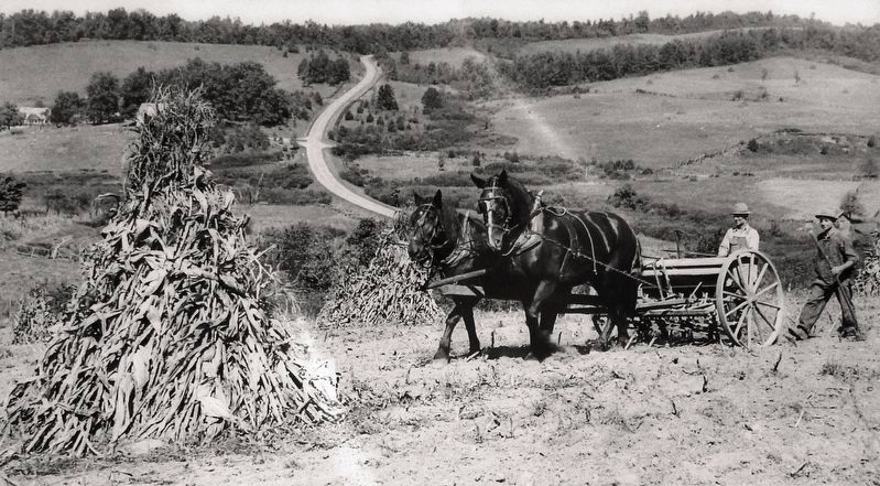
2. Marker detail: Farmers on the plateau
Farmers on the plateau grew not only food for their families and community but grasses and grains for their livestock.
Other nearby markers. At least 8 other markers are within 6 miles of this marker, measured as the crow flies: Rock Castle Gorge (approx. 0.2 miles away); Buffalo Mountain (approx. 0.9 miles away); Dehart Homeplace (approx. 5.1 miles away); You Buy 'Em, We'll Fly 'Em! (approx. 5.1 miles away); Sorghum Making (approx. 5.2 miles away); Homemade Soap Recipe (approx. 5.2 miles away); Whiskey Still (approx. 5.2 miles away); Blacksmith Shop (approx. 5.2 miles away).
More about this marker. This marker is the front panel of a triangular three-panel kiosk.
Also see . . . Remembering the People and History of Rock Castle Gorge. Blue Ridge Parkway Foundation website entry:
Native Americans, including the Cherokee, lived and hunted in the gorge, which includes parts of what is now known as Floyd and Patrick counties, for thousands of years prior to the arrival of settlers in the 18th century. What those settlers found in the gorge was a virgin forest of huge hardwood trees, a fast-moving mountain stream that one day would be recognized as one of the best trout streams in the region
Photographed by Cosmos Mariner, October 3, 2019
3. America's Rural Landscape Marker
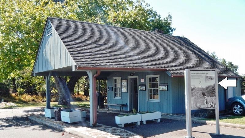
(wide view • Rocky Knob Visitor Center in background)
(wide view • Rocky Knob Visitor Center in background)
Photographed by Cosmos Mariner, October 3, 2019
4. Hike the Gorge (kiosk supplementary panel)
Photographed by Cosmos Mariner, October 3, 2019
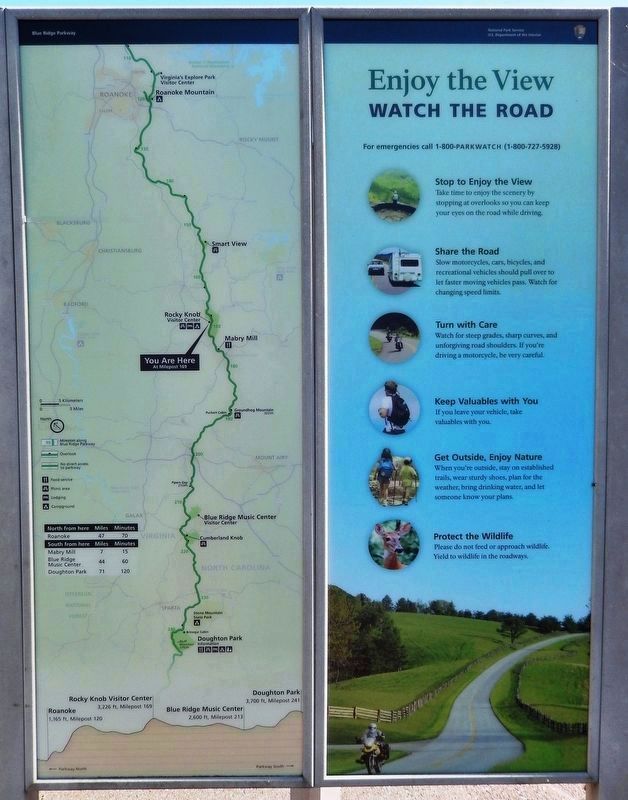
5. You Are Here (kiosk map panel)
Credits. This page was last revised on April 26, 2025. It was originally submitted on October 3, 2019, by Cosmos Mariner of Cape Canaveral, Florida. This page has been viewed 562 times since then and 20 times this year. Photos: 1, 2, 3, 4, 5. submitted on October 3, 2019, by Cosmos Mariner of Cape Canaveral, Florida.
