Ririe in Jefferson County, Idaho — The American West (Mountains)
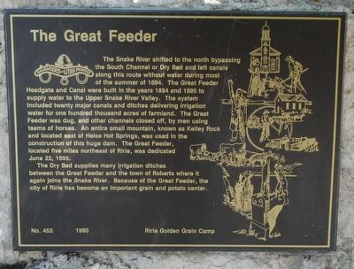
The Great Feeder
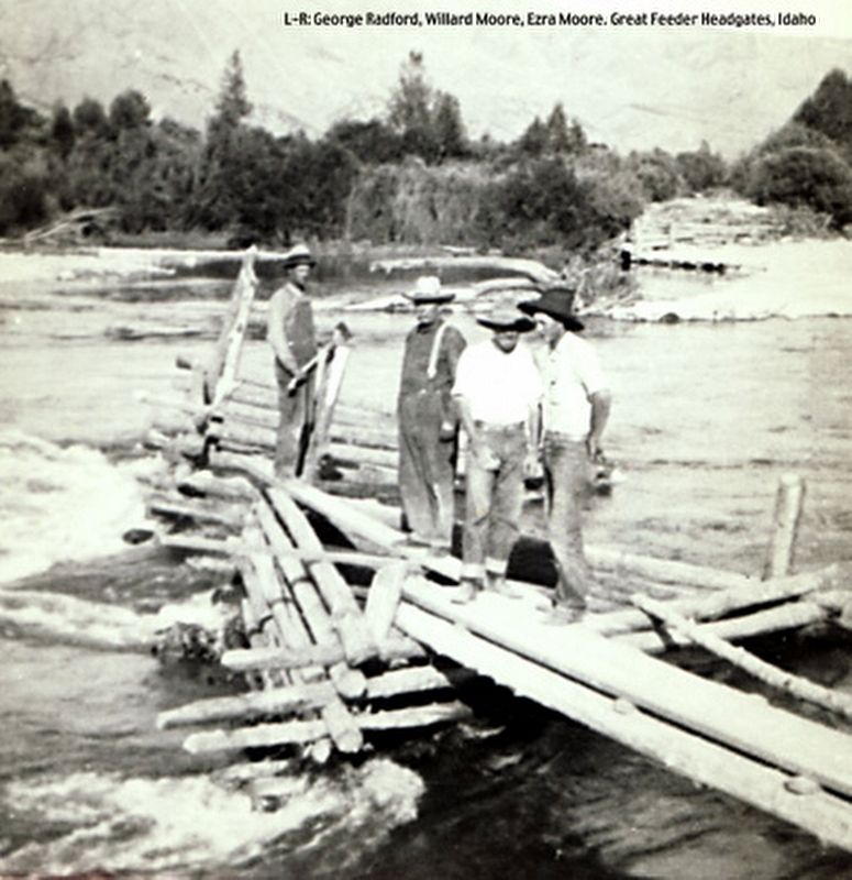
The Snake River shifted to the north bypassing the South Channel or Dry Bed and left canals along this route without water during most of the summer of 1894. The Great Feeder Headgate and Canal were built in the years 1894 and 1895 to supply water to the Upper Snake River Valley. The system included twenty major canals and ditches delivering irrigation water for one hundred thousands acres of farmland. The Great Feeder was dug, and other channels closed off, by men using teams of horses. An entire small mountain, known as Kelley Rock and located east of Heise Hot Springs, was used in the construction of this huge dam. The Great Feeder, located five miles northeast of Ririe, was dedicated June 22, 1895.
The Dry Bed supplies many irrigation ditches between the Great Feeder and the town of Roberts where it again joins the Snake River. Because of the Great Feeder, the city of Ririe has become an important grain and potato center.
Erected 1990 by Daughters of Utah Pioneers, Ririe Golden Grain Camp. (Marker Number 453.)
Topics and series. This historical marker is listed in these topic lists: Agriculture • Waterways & Vessels. In addition, it is included in the Daughters of Utah Pioneers series list. A significant historical date for this entry is June 22, 1895.
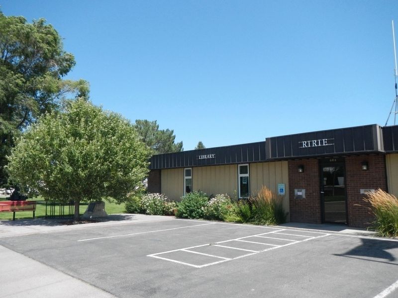
Location. 43° 37.875′ N, 111° 46.409′ W. Marker is in Ririe, Idaho, in Jefferson County. Marker is on Main Street near Smith Street, on the right when traveling north. Touch for map. Marker is at or near this postal address: 464 Main Street, Ririe ID 83443, United States of America. Touch for directions.
Other nearby markers. At least 8 other markers are within 14 miles of this marker, measured as the crow flies. The Willow Creek Settlement (approx. 2.7 miles away); The Holt Ferry (approx. 3.8 miles away); Rigby (approx. 7˝ miles away); Bybee - Centerville (approx. 8 miles away); Iona (approx. 10˝ miles away); "Annie's Place" Annis (approx. 10.7 miles away); Burton (approx. 12.2 miles away); Brigham Young University - Idaho (approx. 13.2 miles away).
Also see . . . The Great Feeder -- Arthur Porter Special Collections, Brigham Young University. The Great Feeder is a product of pioneer organization and effort. A most pressing concern for the pioneers of the semi-arid Upper Snake River Valley was how to get water onto their land. Most of the early settlers of the area were Latter-day Saints and had come into the area from Utah where they had learned the lesson of how to make the desert bloom through irrigation. (Submitted on October 4, 2019, by Barry Swackhamer of Brentwood, California.)
Credits. This page was last revised on August 25, 2020. It was originally submitted on October 4, 2019, by Barry Swackhamer of Brentwood, California. This page has been viewed 760 times since then and 85 times this year. Photos: 1, 2, 3. submitted on October 4, 2019, by Barry Swackhamer of Brentwood, California.


