Lewisburg in Greenbrier County, West Virginia — The American South (Appalachia)
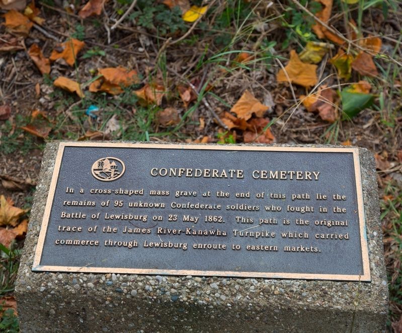
Confederate Cemetery
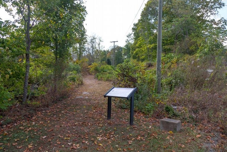
This path is the original trace of the James River-Kanawha Turnpike which carried commerce through Lewisburg enroute to eastern markets.
Erected by The Lewisburg Foundation.
Topics. This historical marker is listed in these topic lists: Roads & Vehicles • War, US Civil. A significant historical date for this entry is May 23, 1862.
Location. 37° 48.221′ N, 80° 26.944′ W. Marker is in Lewisburg, West Virginia, in Greenbrier County. Touch for map. Marker is in this post office area: Lewisburg WV 24901, United States of America. Touch for directions.
Other nearby markers. At least 8 other markers are within walking distance of this marker. Lewisburg (here, next to this marker); a different marker also named Lewisburg (within shouting distance of this marker); Confederate Cemetery / The Civil War (within shouting distance of this marker); William Cammack Campbell (about 400 feet away, measured in a direct line); Shuck Memorial Baptist Church (about 500 feet away); Battle of Lewisburg (about 500 feet away); The Lewisburg Foundation (about 500 feet away); Greenbrier College / Greenbrier Hall (about 600 feet away). Touch for a list and map of all markers in Lewisburg.
Credits. This page was last revised on October 7, 2019. It was originally submitted on October 7, 2019, by J. J. Prats of Powell, Ohio. This page has been viewed 174 times since then and 13 times this year. Photos: 1, 2. submitted on October 7, 2019, by J. J. Prats of Powell, Ohio.

