Columbus in Lowndes County, Mississippi — The American South (East South Central)
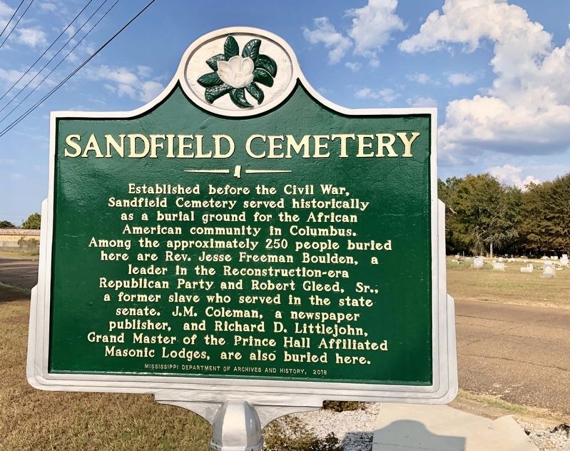
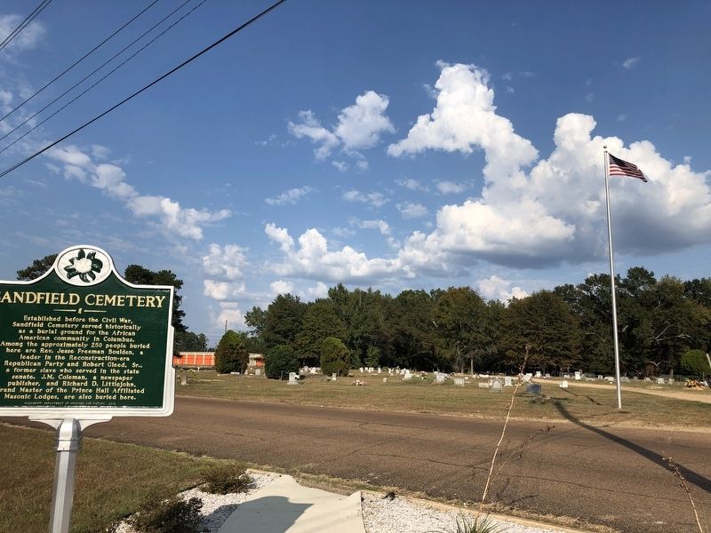
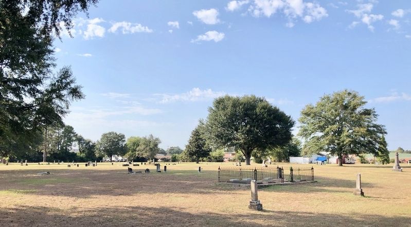
Sandfield Cemetery
Erected 2018 by Mississippi Department of Archives and History.
Topics and series. This historical marker is listed in these topic lists: African Americans • Cemeteries & Burial Sites • Communications • Fraternal or Sororal Organizations. In addition, it is included in the Mississippi State Historical Marker Program series list.
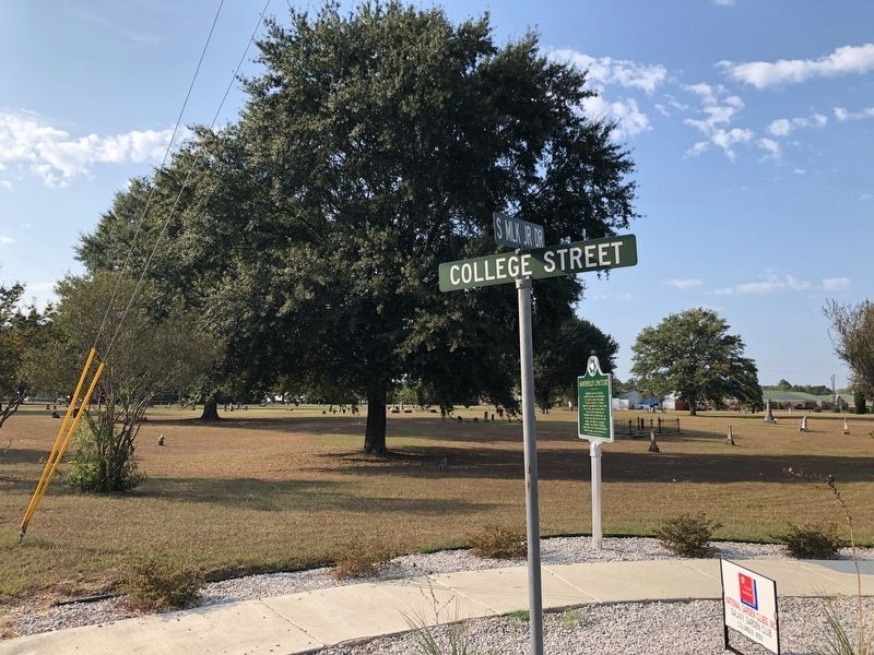
Location. 33° 29.787′ N, 88° 24.147′ W. Marker is in Columbus, Mississippi, in Lowndes County. Marker is at the intersection of South Martin Luther King Jr Drive and College Street, on the right when traveling south on South Martin Luther King Jr Drive. Touch for map. Marker is in this post office area: Columbus MS 39701, United States of America. Touch for directions.
Other nearby markers. At least 8 other markers are within one mile of this marker, measured as the crow flies. Adam Tonquin Stovall (approx. 0.2 miles away); Baldwin Locomotive No. 601 (approx. 0.6 miles away); Kenneth Gatchell House (approx. 0.8 miles away); MUW Desegregation (approx. 0.9 miles away); Queen City Hotel and 7th Avenue (approx. one mile away); Mississippi State College for Women (approx. one mile away); Missionary Union Baptist Church (approx. one mile away); Demonstration School (approx. 1.1 miles away). Touch for a list and map of all markers in Columbus.
Credits. This page was last revised on November 23, 2019. It was originally submitted on October 7, 2019, by Mark Hilton of Montgomery, Alabama. This page has been viewed 357 times since then and 38 times this year. Photos: 1, 2, 3, 4. submitted on October 7, 2019, by Mark Hilton of Montgomery, Alabama.


