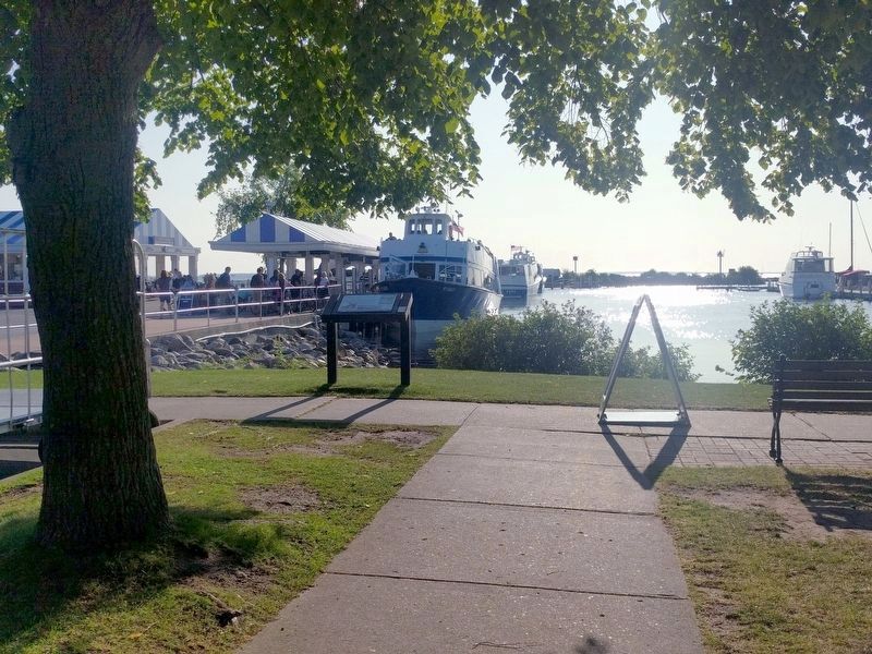
Mackinaw City in Cheboygan County, Michigan — The American Midwest (Great Lakes)
Mackinac Island Passenger Ferries
Mackinaw City Historical Pathway
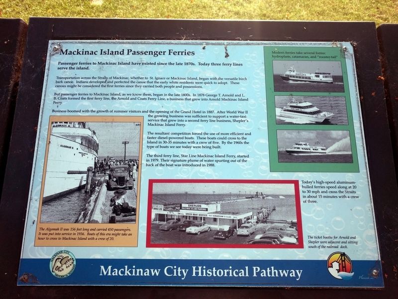
Passenger ferries to Mackinac Island have existed since the late 1870s. Today three ferry lines serve the island.
Transportation across the Straits of Mackinac, whether to St. Ignace or Mackinac Island, began with the versatile birch bark canoe. Indians developed and perfected the canoe that the early white residents were quick to adopt. These canoes might be considered the first ferries since they carried both people and possessions.
But passenger ferries to Mackinac Island, as we know them, began in the late 1800s. In 1878 George T. Arnold and L. B. Coats formed the first ferry line, the Arnold and Coats Ferry Line, a business that grew into Arnold Mackinac Island Ferry.
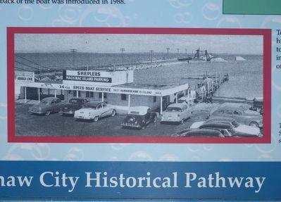
Business boomed with the growth of summer visitors and the opening of the Grand Hotel in 1887. After World War II the growing business was sufficient to support a water-taxi service that grew into a second ferry line business, Shepler's Mackinac Island Ferry.
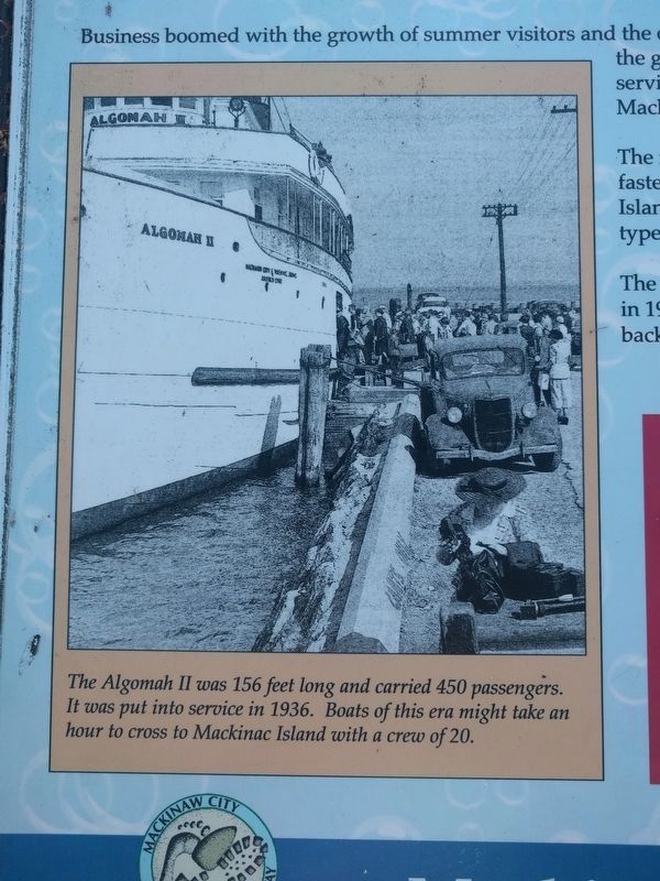
The resultant competition forced the use of more efficient and faster diesel-powered boats. These boats could cross to the island in 30-35 minutes with a crew of five. By the 1960s the type of boats we see today were being built.
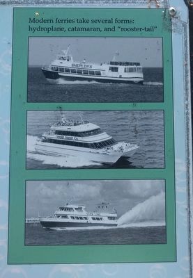
The third ferry line, Star Line Mackinac Island Ferry, started in 1979. Their signature plume of water spurting out of the back of the boat was introduced in 1988.
Today's high-speed aluminum-hulled ferries speed along at 20 to 30 mph and cross the Straits in about 15 minutes with a crew of three. (Marker Number 15.)
Topics. This historical marker is listed in this topic list: Waterways & Vessels. A significant historical year for this entry is 1878.
Location. 45° 46.877′ N, 84° 43.453′ W. Marker is in Mackinaw City, Michigan, in Cheboygan County. Marker can be reached from East Center Street east of North Huron Avenue, on the right when traveling east. Marker is at the east end of the sidewalk that is on the south side of Shepler's Mackinac Island Ferry parking lot. Touch for map. Marker is at or near this postal address: 556 East Central Avenue, Mackinaw City MI 49701, United States of America. Touch for directions.
Other nearby markers. At least 8 other markers are within walking distance of this marker. Chief Wawatam (within shouting distance of this marker); Iron Horse (within shouting distance of this marker); Mackinaw City (within shouting distance of this marker); Mackinaw City Veterans Memorial (about 300 feet away, measured in a direct line); The Algomah (about 300 feet away); The Dixie Highway (about 300 feet away); The Water Highway (about 300 feet away); a different marker also named The Dixie Highway (about 300 feet away). Touch for a list and map of all markers in Mackinaw City.
Also see . . .
1. Mackinac Island's longest-running ferry Arnold Transit to stop service. A November 3, 2016 Detroit Free Press article states that Arnold Transit will stop passenger service to Mackinac Island and that Star Line will buy six of the Arnold boats, as well as the Arnold boatyard and several docks. (Submitted on October 8, 2019, by Joel Seewald of Madison Heights, Michigan.)
2. Arnold Transit Company. Wikipedia article (Submitted on October 8, 2019, by Joel Seewald of Madison Heights, Michigan.)
3. Shepler's Mackinac Island Ferry: About. History of the company on the company's website. (Submitted on October 8, 2019, by Joel Seewald of Madison Heights, Michigan.)
4. Star Line Ferry. Wikipedia article (Submitted on October 8, 2019, by Joel Seewald of Madison Heights, Michigan.)
5. Mackinaw Marina. Web page with audio tour file. (Submitted on October 8, 2019, by Joel Seewald of Madison Heights, Michigan.)
Credits. This page was last revised on October 10, 2019. It was originally submitted on October 8, 2019, by Joel Seewald of Madison Heights, Michigan. This page has been viewed 404 times since then and 13 times this year. Photos: 1, 2, 3, 4, 5. submitted on October 8, 2019, by Joel Seewald of Madison Heights, Michigan.
