Near Syringa in Idaho County, Idaho — The American West (Mountains)
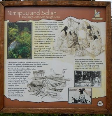
Nímíípuu and Selish
Trading Connects Neighbors
— Nimiipuu —
Inscription.
In the earliest times, native people crossed these mountains on foot with only what they could carry on their back. After the early 1700s, the horse made the trek easier and allowed travelers to carry more goods over the mountain trails.
For countless generations, this route across the mountains was part of a far-reaching trade network that stretched from the Pacific Ocean to the plains east of the Rocky Mountains.
Trade between native peoples went far beyond the simple exchange of goods. Connections formed between trading partners allowed them to interact on a personal basis, to share skills, join families and in some cases adopt new ideas.
The Nimíipuu (Nez Perce) would trade beargrass, horses, camas root, salmon, pemmican, beads and buffalo products they secured through there own hunting and trading.
The Selish (Salish) and other Plains tribes would exchange clothing, tepees, parfleches (skinbags) and women's saddles. Traders would exchange their own products along with any surplus items that they received in trade from others such as shells from the coastal areas or medal items from European traders.
With the introduction of the horse, trading increased. The horse itself became a source of wealth as an important item of trade.
Stretching across the high mountain ridges, the ancient trail linked friends and families. Travelers across these mountains created a vibrant trading system that would continue to enrich the lives of people on both sides of the mountains.
Erected by Forest Service, U.S. Department of Agriculture.
Topics. This historical marker is listed in these topic lists: Industry & Commerce • Native Americans.
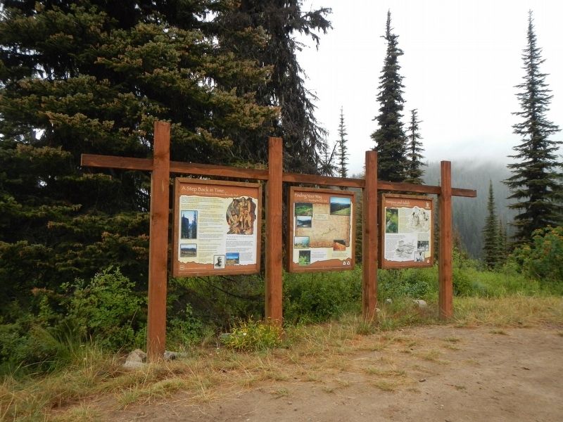
Location. 46° 30.803′ N, 115° 6.086′ W. Marker is near Syringa, Idaho, in Idaho County. Marker is at the intersection of Lolo Motorway (Forest Road 500) and Gravey Creek Road (Forest Road 107), on the right when traveling west on Lolo Motorway. Touch for map. Marker is in this post office area: Kooskia ID 83539, United States of America. Touch for directions.
Other nearby markers. At least 7 other markers are within 9 miles of this marker, measured as the crow flies. Howard Camp (approx. 2.1 miles away); Smoking Place (approx. 3.4 miles away); Nimiipuum Wetes (approx. 4.4 miles away); My Name is K'useynisskit (approx. 4.4 miles away); Indian Post Office (approx. 5.9 miles away); Green Swoard Camp (approx. 7.9 miles away); Welcome to Colgate Licks (approx. 8.4 miles away).
More about this marker. The term motorway as applied to the Lolo Motorway should be understood as it was originally defined and not the expressway with think of today. The Lolo Motorway was built by the CCC in the 1930s over practically impassable terrain (for automobiles). In places the road is extremely rocky, steep and narrow with shear drop-offs. In short, the Lolo Motorway should only be driven by high clearance, 4WD vehicles and the like.
Credits. This page was last revised on June 15, 2020. It was originally submitted on October 9, 2019, by Barry Swackhamer of Brentwood, California. This page has been viewed 188 times since then and 16 times this year. Photos: 1, 2. submitted on October 9, 2019, by Barry Swackhamer of Brentwood, California.

