Ackerman in Choctaw County, Mississippi — The American South (East South Central)
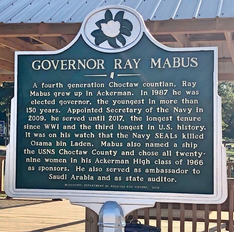
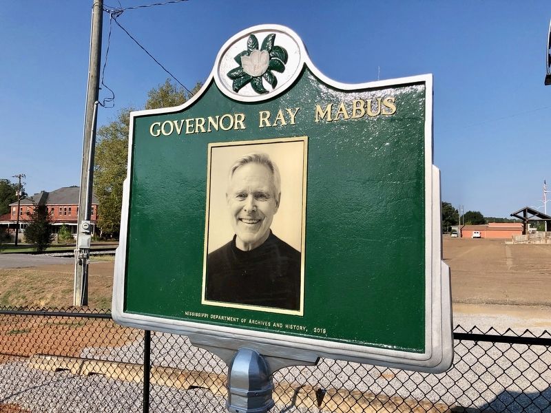
Governor Ray Mabus
Erected 2019 by Mississippi Department of Archives and History.
Topics and series. This historical marker is listed in this topic list: Waterways & Vessels. In addition, it is included in the Mississippi State Historical Marker Program series list. A significant historical year for this entry is 1987.
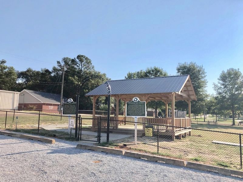
Location. 33° 18.603′ N, 89° 10.274′ W. Marker is in Ackerman, Mississippi, in Choctaw County. Marker is at the intersection of South Commerce Street and East Main Street, on the left when traveling south on South Commerce Street. Located in Governors Park. Touch for map. Marker is at or near this postal address: South Commerce Street, Ackerman MS 39735, United States of America. Touch for directions.
Other nearby markers. At least 8 other markers are within 4 miles of this marker, measured as the crow flies. Governor J.P. Coleman (here, next to this marker); Two Steps From The Blues (within shouting distance of this marker); Choctaw County War Memorial (about 500 feet away, measured in a direct line); Hoyt Ming (about 600 feet away); Ackerman (approx. 0.3 miles away); Choctaw County High School (approx. 0.3 miles away); Old Lebanon Presbyterian Church and Campground (approx. 3.4 miles away); Coleman's Mill (approx. 3.4 miles away). Touch for a list and map of all markers in Ackerman.
Also see . . . Wikipedia article on Governor Ray Mabus. (Submitted on October 9, 2019, by Mark Hilton of Montgomery, Alabama.)
Credits. This page was last revised on November 23, 2019. It was originally submitted on October 9, 2019, by Mark Hilton of Montgomery, Alabama. This page has been viewed 165 times since then and 12 times this year. Photos: 1, 2, 3, 4. submitted on October 9, 2019, by Mark Hilton of Montgomery, Alabama.


