How did this Prairie get here?
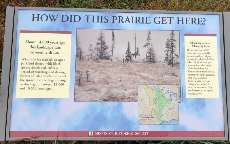
About 14,000 years ago this landscape was covered with ice.
When the ice melted, an open parkland dotted with black spruce developed. After a period of warming and drying, forests of oak and elm replaced the spruce. People began living in this region between 12,000 and 10,000 years ago.
Changing Climate, Changing Land
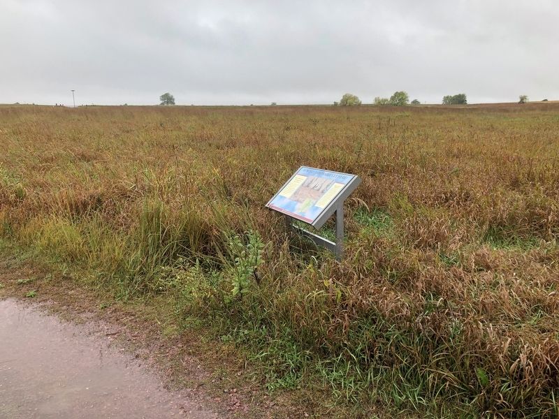
If you were here 5,000 years ago, you would be surrounded by a tallgrass prairie dotted with shallow lakes. As the climate got warmer and drier, many of the lakes dried up. The prairie in front of you became part of the grasslands that once stretched from Canada to Texas. Today, after waves of western settlement, only small remnants of native prairie survive.
Erected by Minnesota Historical Society.
Topics. This historical marker is listed in these topic lists: Environment • Horticulture & Forestry • Parks & Recreational Areas.
Location. 44° 5.46′ N, 95° 3.416′ W. Marker is near Comfrey, Minnesota, in Cottonwood County. It can be reached from 510th Avenue (County Road 2). Marker is located along a trail in the Jeffers Petroglyphs
this page online

Regionally, this marker is in Southwest Minnesota. It is also in the American Midwest and in the Corn Belt. Globally, it is in North America, the Western Hemisphere, the Western World, and the Anglosphere. Historically, it finds itself in what was once Rupert’s Land, the territory of the Mississippian Culture, and the Louisiana Purchase.
Other nearby markers. At least 8 other markers are within 11 miles of this marker, measured as the crow flies: Why did people come to this region? (within shouting distance of this marker); Prairie Preservation (about 500 feet away, measured in a direct line); Survival Through Fire (about 600 feet away); Florence Cook Roefer Prairie Trail (approx. 0.3 miles away); Glaciers Marked the Rock (approx. 0.3 miles away); Sanborn, Minnesota Veterans Memorial (approx. 8 miles away); Veterans Memorial (approx. 10.8 miles away); a different marker also named Veterans Memorial (approx. 11 miles away). Touch for a list and map of all markers in Comfrey.
More about this marker.
Also see . . . More at the Jeffers Petroglyphs website. (Submitted on October 9, 2019, by Ruth VanSteenwyk of Aberdeen, South Dakota.)
Credits. This page was last revised on October 10, 2019. It was originally submitted on October 9, 2019, by Ruth VanSteenwyk of Aberdeen, South Dakota. This page has been viewed 263 times since then and 17 times this year. Last updated on October 10, 2019, by Ruth VanSteenwyk of Aberdeen, South Dakota. Photos: 1, 2, 3, 4. submitted on October 9, 2019, by Ruth VanSteenwyk of Aberdeen, South Dakota. • Mark Hilton was the editor who published this page.
