Glenwood in Idaho County, Idaho — The American West (Mountains)
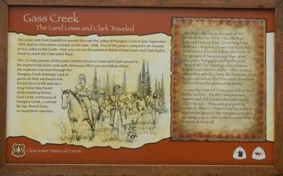
Gass Creek
The Land Lewis and Clark Traveled
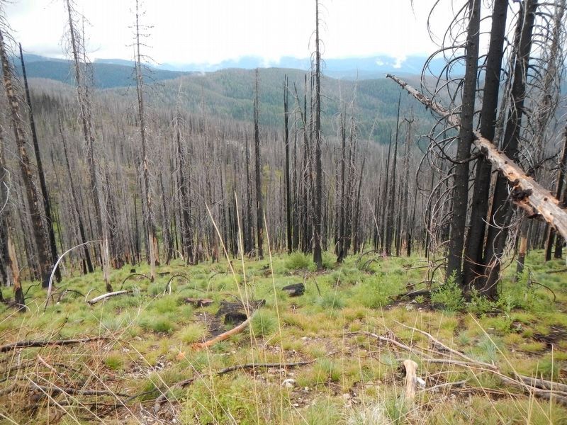
This 12-mile portion of the route remains much as Lewis and Clark viewed it. No marked trail exists; only with strenuous effort can one follow where the explorers traveled through the Hungery Creek drainage. Lack of game on their westward trek forced them to kill and eat a stray horse they found while traveling below. Gass Creek, a tributary of Hungery Creek, is named for Sgt. Patric Gass, an expedition member.
(side-bar on right)
This high ridgeline is also part of the route of the Nez Perce (Nee Me Poo) National Historic Trail. Stretching from Wallowa, Oregon to Bear Paw Battlefield in Montana, this trail follows the route of five groups of Nimipuu and their allies. They were being pursued by the U.S. Army in 1877 for resisting a forced move to the reservation in Idaho. After several skirmishes with the Army, the Nimiipuu chose to go east across the Bitterroot Mountains to friends on the plains of Montana.
Across the route of K'useyneisskit or 'trail of the buffalo', the 800 Nimiipuu men, women, and children traveled with nearly 2000 horses. They were pursued by General Oliver O. Howard and his soldiers. On familiar ground, the Nimiipuu were able to easily outpace the soldiers across this portion of the trail.
Erected by Forest Service, U.S. Department of Agriculture; National Park Service, U.S. Department of the Interior.
Topics and series. This historical marker is listed in these topic lists: Exploration • Wars, US Indian. In addition, it is included in the Lewis & Clark Expedition, and the The Nez Perce Trail series lists.
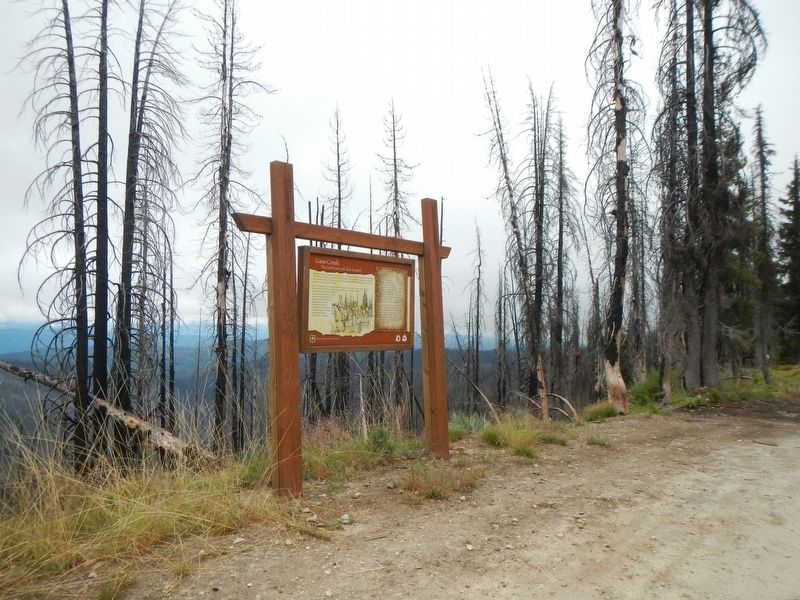
Location. 46° 25.918′ N, 115° 32.382′ W. Marker is in Glenwood, Idaho, in Idaho County. Marker is on Lolo Motorway (Forest Road 500) near Weites Butte Lookout Road, on the left when traveling west. Touch for map. Marker is in this post office area: Kooskia ID 83539, United States of America. Touch for directions.
Other nearby markers. At least 5 other markers are within 12 miles of this marker, measured as the crow flies. The Land Lewis and Clark Walked (approx. 8.3 miles away); Salmon Trout Camp (approx. 10.6 miles away); Small Prairie Camp (approx. 11.8 miles away); "to our inexpressable joy" (approx. 11.8 miles away); Selway - Bitterroot Wilderness (approx. 11.8 miles away).
More about this marker. The term motorway as applied to the Lolo Motorway should be understood as it was originally defined and not the expressway with think of today. The Lolo Motorway was built by the CCC in the 1930s over practically impassable terrain (for automobiles). In places the road is extremely rocky, steep and narrow with shear drop-offs. In short, the Lolo Motorway should only be driven by high clearance, 4WD vehicles and the like.
Credits. This page was last revised on June 15, 2020. It was originally submitted on October 10, 2019, by Barry Swackhamer of Brentwood, California. This page has been viewed 282 times since then and 47 times this year. Photos: 1, 2, 3. submitted on October 10, 2019, by Barry Swackhamer of Brentwood, California.


