Zona Centro in San Miguel de Allende, Guanajuato, Mexico — The Central Highlands (North America)
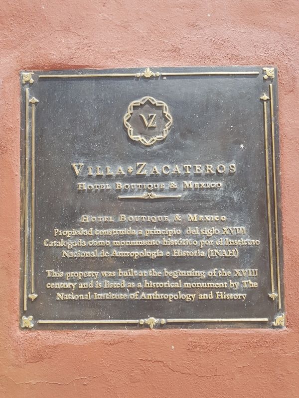
Villa Zacateros
Photographed by J. Makali Bruton, September 6, 2019
1. Villa Zacateros Marker

Hotel Boutique & Mexico
Propiedad constiuida a principio del siglo XVIII
Catalogada como monumento histórico por el Instituto Nacional de Antropología e Historia (INAH)
This property was built at the beginning of the XVIII century and is listed as a historical monument by The National Institute of Anthropology and History
Topics. This historical marker is listed in these topic lists: Colonial Era • Industry & Commerce • Man-Made Features.
Location. 20° 54.791′ N, 100° 44.761′ W. Marker is in San Miguel de Allende, Guanajuato. It is in Zona Centro. It is on Zacateros just south of Umarán, on the left when traveling south. Touch for map. Marker is in this post office area: San Miguel de Allende GTO 37700, Mexico. Touch for directions.

Regionally, this marker is in Central Mexico and in the Bajío. Globally, it is in North America, on the Ring of Fire, and in the Western Hemisphere. Historically, it finds itself in what was once New Spain, a Spanish colony, and the Aztec Empire.
Other nearby markers. At least 8 other markers
this page online
Photographed by J. Makali Bruton, September 6, 2019
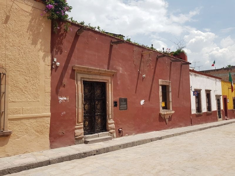
2. Villa Zacateros Marker
Credits. This page was last revised on June 23, 2024. It was originally submitted on October 10, 2019, by J. Makali Bruton of Washington, District of Columbia. This page has been viewed 229 times since then and 11 times this year. Photos: 1, 2. submitted on October 10, 2019, by J. Makali Bruton of Washington, District of Columbia.
