Franklin in Holmes County, Mississippi — The American South (East South Central)
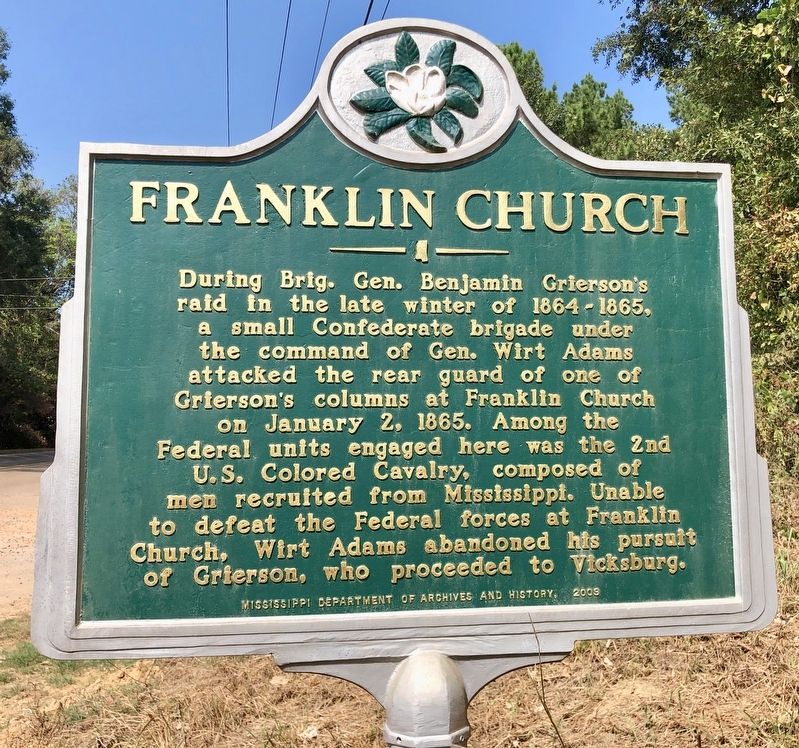
Franklin Church
Erected 2009 by Mississippi Department of Archives and History.
Topics and series. This historical marker is listed in these topic lists: African Americans • Churches & Religion • War, US Civil. In addition, it is included in the Mississippi State Historical Marker Program series list. A significant historical date for this entry is January 2, 1865.
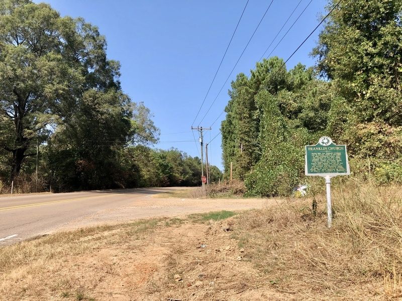
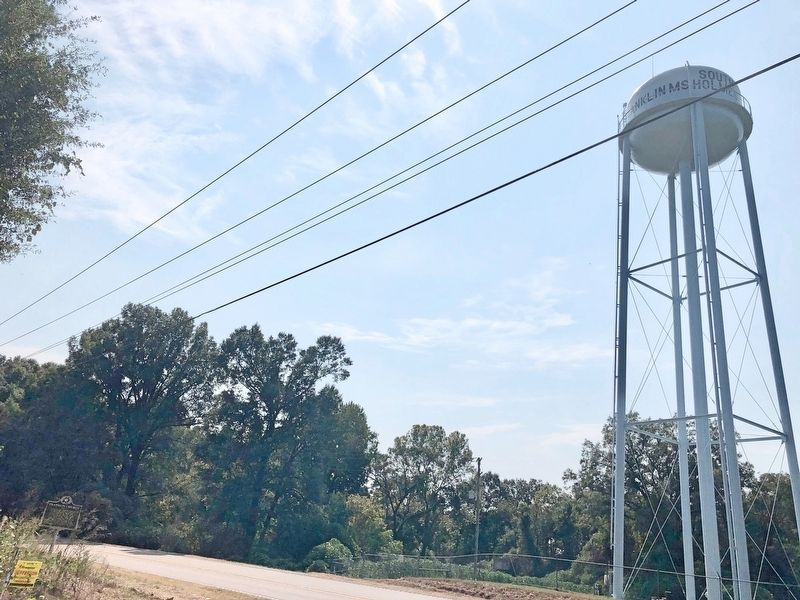
Location. 33° 2.124′ N, 90° 0.104′ W. Marker is in Franklin, Mississippi, in Holmes County. Marker is at the intersection of Mississippi Route 17 and State Park Road (County Road 417), on the right when traveling north on State Route 17. Touch for map. Marker is in this post office area: Lexington MS 39095, United States of America. Touch for directions.
Other nearby markers. At least 8 other markers are within 6 miles of this marker, measured as the crow flies. Elmore James (approx. 4.1 miles away); O.E.S. Birthplace (approx. 4˝ miles away); PFC Milton Lee Olive III (approx. 4.9 miles away); Dr. Arenia Conelia Mallory (approx. 5.3 miles away); St. Paul Church of God in Christ (approx. 5˝ miles away); Holmes County Blues Lexington (approx. 6 miles away); Hazel Brannon Smith (approx. 6.1 miles away); Lexington (approx. 6.1 miles away).
Additional commentary.
1. Franklin Church Historic Marker
I believe the marker is incorrect. It was the 3rd Reg, Cav USCT. One of my ancestors was killed in action there. —Alice Hughes Note To Editor only visible by Contributor and editor
— Submitted March 12, 2024.
Credits. This page was last revised on March 16, 2024. It was originally submitted on October 10, 2019, by Mark Hilton of Montgomery, Alabama. This page has been viewed 221 times since then and 28 times this year. Photos: 1, 2, 3, 4. submitted on October 10, 2019, by Mark Hilton of Montgomery, Alabama.


