Mackinaw City in Cheboygan County, Michigan — The American Midwest (Great Lakes)
Marine & Weather Reporter
Mackinaw City Historical Pathway
Photographed by Joel Seewald, August 19, 2019
1. Marine & Weather Reporter Marker
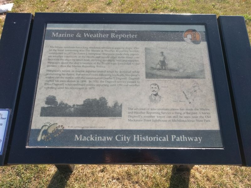
Mackinaw residents have long rendered services to passing ships. One of the most interesting was The Marine & Weather Reporting Service, established in 1877 by Forest J. Stimpson. Stimpson made daily reports on weather conditions at the Straits and would often make direct contact with the ships by small boat, carrying messages, mail and supplies. Messages about the ship's location at the Straits were forwarded to he owners — thus the Marine Reporting Service.
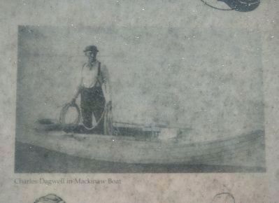
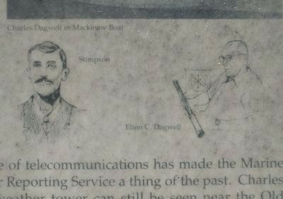
Stimpson's tenure as marine reporter ended when he drowned while performing his duties. For several years following his death, Stimpson's widow ran the station with the assistance of Charles T. Dagwell. Dagwell started his own station in 1898. In 1930, the Dagwell service passed to Elton Dagwell, who continued marine reporting until 1959 and weather reporting until his retirement in 1970.
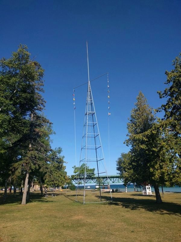
The advance of telecommunications has made the Marine and Weather Reporting Service a thing of the past. Charles Dagwell's weather tower can still be seen near the Old Mackinaw Point lighthouse at Michilimackinac State Park. (Marker Number 25.)
Topics. This historical
this page online
Location. This marker has been replaced by another marker nearby. It was located near 45° 47.151′ N, 84° 43.576′ W. Marker was in Mackinaw City, Michigan, in Cheboygan County. It was at the intersection of North Huron Avenue and East Depeyster Street, on the right when traveling north on North Huron Avenue. Marker is at the northwest corner of Maritime Park. Touch for map. Marker was at or near this postal address: 412 North Huron Avenue, Mackinaw City MI 49701, United States of America. Touch for directions.

Regionally, this marker was in Northern Michigan Lower Peninsula, on the Straits of Mackinac, and in one of the Lake Huron Shore counties. It was also in the American Midwest. Globally, it was in North America, in the Great North Woods, on the Great Lakes, in the Western Hemisphere, in the Western World, and in the Anglosphere. Historically, it found itself in what was once the Northwest Territory.
Other nearby markers. At least 8 other markers are within walking distance of this location:
2. Marine & Weather Reporter Marker - lower left image
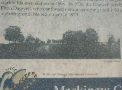
Stimpson Home
Other markers no longer nearby. Anchors and their retrieval (was within shouting distance of this marker but has been replaced with another marker now near it); a different marker also named The Lumbering Era (was about 500 feet away but has been replaced with another marker now near it); Graveyard of the Deep (was about 600 feet away but has been replaced with another marker now near it); Building Mighty Mac (was about 600 feet away but has been replaced with another marker now near it); Perry B. Darrow 1939 - 1995 (was about 700 feet away but has been permanently removed).
Also see . . . 25. Shipping in the Straits.
3. Marine & Weather Reporter Marker - upper right image
Charles Dagwell in Mackinaw Boat
4. Marine & Weather Reporter Marker - lower right images
Left: Stimpson; right: Elton C. Dagwell
Photographed by Joel Seewald, August 19, 2019
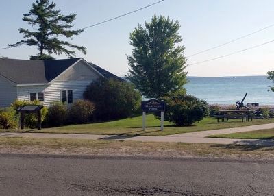
5. Marine & Weather Reporter Marker
View looking toward the northeast. Marker is at the left edge of the photo.
Photographed by Joel Seewald, August 19, 2019
6. Dagwell's Weather Tower
Charles Dagwell's weather tower, which can be found in Alexander Henry Park, near the Old Mackinaw Point Lighthouse (about 0.3 miles to the northwest).
Credits. This page was last revised on August 24, 2024. It was originally submitted on October 16, 2019, by Joel Seewald of Madison Heights, Michigan. This page has been viewed 330 times since then and 19 times this year. Photos: 1, 2, 3, 4, 5, 6. submitted on October 16, 2019, by Joel Seewald of Madison Heights, Michigan.
