El Call in Barcelona, Catalonia, Spain — Southwestern Europe (Iberian Peninsula)
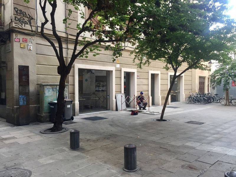
El Call: Placeta de Manuel Ribé
Medieval Jewish Quarter, 12th-14th centuries
Inscription.
(English:)
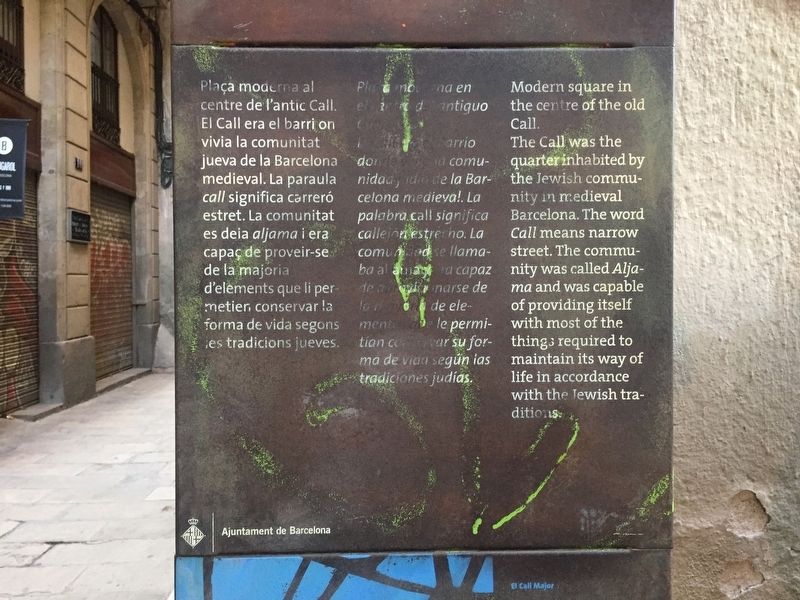
Modern square in the centre of the old Call.
The Call was the quarter inhabited by the Jewish community in medieval Barcelona. The word Call means narrow street. The community was called Aljama and was capable of providing itself with most of the things required to maintain its way of life in accordance with the Jewish traditions.
Plaça moderna al centre de l'antic Call. El Call era el barri on vivia la comunitat jueva de la Barcelona medieval. La paraula call significa carreró estret. La comunitat es deia aljama i era capaç de proveir-se de la majoria d'elements que li per- metier conservar la forma de vida segons les tradicions jueves.
Plaza moderna en el centro del antiguo Call. El Call era el barrio donde vivía la comunidad judía de la Barcelona medieval. La palabra call significa callejón estrecho. La comunidad se llamaba aljama y era capaz de proveerse de la mayoría de elementos que le permitían conservar la forma de vida según las tradiciones judías.
Erected by Museu de Historia de Barcelona, Ajuntament de Barcelona. (Marker Number C4.)
Topics. This historical marker is listed in these topic lists: Churches & Religion • Roads & Vehicles.
Location. 41° 22.963′ N, 2° 10.526′ E. Marker is in Barcelona, Cataluña (Catalonia). It is in El Call. Marker is at the intersection of Placeta de Manuel Ribé and Carrer de Salomó ben Adret on Placeta de Manuel Ribé. Touch for map. Marker is in this post office area: Barcelona, Cataluña 08002, Spain. Touch for directions.
Other nearby markers. At least 8 other markers are within walking distance of this marker. Memorial to the Victims of the Bombing of January 30, 1938 (here, next to this marker); El Call: Rabbi Samuel Ha-Sardi Stone (within shouting distance of this marker); El Call: Carrer de Sant Domènec (within shouting distance of this marker); El Call: Carrer de Sant Sever (within shouting distance of this marker); Collegi Sant Jordi / College of Sant Jordi (within shouting distance of this marker); El Call: Carrer de Sant Honorat (within shouting distance of this marker); El Call: Carrer de L'Arc de San Ramon del Call (within shouting distance of this marker); The Aerial Bombing of the Plaza / El Bombardeo de la Plaza / El Bombardeig de la Plaça
(within shouting distance of this marker). Touch for a list and map of all markers in Barcelona.
Credits. This page was last revised on February 3, 2023. It was originally submitted on October 16, 2019, by Andrew Ruppenstein of Lamorinda, California. This page has been viewed 467 times since then and 78 times this year. Photos: 1, 2. submitted on October 16, 2019, by Andrew Ruppenstein of Lamorinda, California.

