Old Town in Alexandria, Virginia — The American South (Mid-Atlantic)
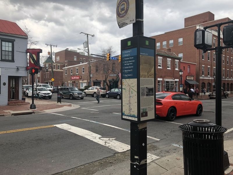
Alexandria, D.C.
City of Alexandria Est. 1749
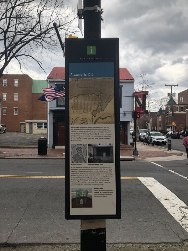
At first, Alexandrians welcomed the town's inclusion into Washington, D.C., but the residents soon became disillusioned. Provisions of the 1791 Act creating the District precluded the construction of any Federal buildings south of the Potomac River. Furthermore, the 1801 District Act disenfranchised the local populace, who could not vote in presidential elections nor have representation in Congress. Discussions about possibly outlawing slavery in the District also provided a strong impetus to retrocede Alexandria, a major slave trading center, to Virginia. In July 1846, the U.S. Congress voted
this page online
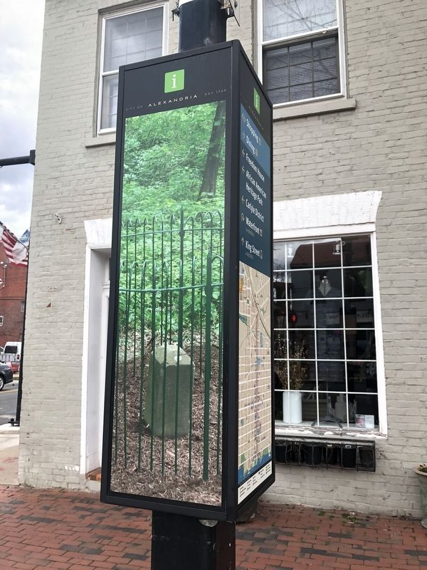
Boundary Stones
The first and southernmost boundary stone was set at Alexandria's Jones Point, and four more stones still exist within the city.
Erected by City of Alexandria.
Topics and series. This historical marker is listed in these topic lists: African Americans • Colonial Era • Government & Politics • Political Subdivisions. In addition, it is included in the Original Federal Boundary Stones, and the Virginia, The City of Alexandria series lists. A significant historical year for this entry is 1749.
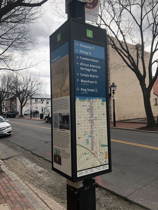
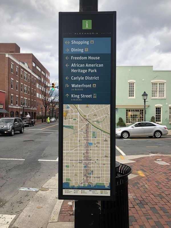
Location. 38° 48.364′ N, 77° 3.268′ W. Marker is in Alexandria, Virginia. It is in Old Town. It is at the intersection of King Street (Virginia Route 7) and North West Street, on the right when traveling west on King Street. According to Alexandria.gov in its Wayfinding: Alexandria, DC. "In Old Town, mini kiosks are located at designated intersections along King Street, Cameron Street, and the Waterfront to provide an orientation for pedestrians.". Touch for map. Marker

Regionally, this marker is in the Washington Metropolitan Area and in Northern Virginia. It is also in the American South, specifically in the Upper South, in the Mid-Atlantic, and on the Eastern Seaboard. Globally, it is in the North Atlantic Region, North America, the Western Hemisphere, the Western World, and the Anglosphere. Historically, it finds itself in what was once the territory of the Mississippian Culture, one of the original Thirteen Colonies, one of the Confederate States of America, and the Antebellum South.
Other nearby markers. At least 8 other markers are within walking distance of this marker: Freedom House Museum (within shouting distance of this marker); The Growth of Upper King Street (within shouting distance of this marker); L’Ouverture Hospital (about 500 feet away, measured in a direct line); Port City (about 500 feet away); Carver School (about 600 feet away); Colonel Francis Peyton (about 700 feet away); L'Overture Hospital HQ (about 700 feet away); Capt. James McGuire House
Additional keywords. Original Federal Boundary Stones marker series
Credits. This page was last revised on November 10, 2023. It was originally submitted on March 31, 2018, by Devry Becker Jones of Washington, District of Columbia. This page has been viewed 1,100 times since then and 45 times this year. Last updated on October 16, 2019, by Roberto Bernate of Arlington, Virginia. Photos: 1, 2, 3, 4, 5. submitted on March 31, 2018, by Devry Becker Jones of Washington, District of Columbia.
