Colonia Bosque de Chapultepec I Sección in Ciudad de México, Mexico — The Valley of Mexico (The Central Highlands)
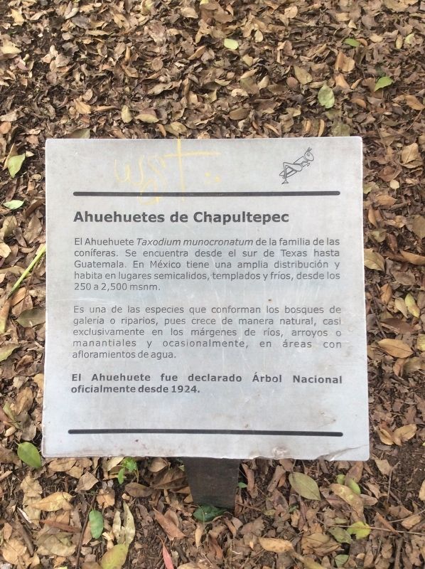
Ahuehuetes of Chapultepec
El Ahuehuete Taxodium munocronatum de la familia de las coníferas. Se encuentra desde el sur de Texas hasta Guatemala. En México tiene una amplia distribución habita en lugares semicálidos, templados y fríos, desde los 250 a 2,500 msnm.
Es una de las especies que conforman los bosques de galería o riparios, pues crece de manera natural, casi exclusivamente en los márgenes de ríos, arroyos o manantiales y ocasionalmente, en áreas con afloramientos de agua.
El Ahuehuete fue declarado Árbol Nacional oficialmente desde 1924.
Ahuehuetes of Chapultepec
The ahuehuete Taxodium munocronatum is in the family of the conifers. It is found from southern Texas all the way to Guatemala. In Mexico it has a wide distribution and inhabits semi-temperate, temperate and cold places, from 250 to 2,500 meters above sea level.
It is one of the species that makes up the gallery or riparian forests, since it grows naturally, and almost exclusively, on the banks of rivers, streams or springs and occasionally, in areas with water seeps.
The Ahuehuete was officially declared Mexico's National Tree since 1924.
Topics. This historical marker is listed in this topic list: Environment. A significant historical year for this entry is 1924.
Location. 19° 25.066′ N, 99° 11.142′ W. Marker is in Ciudad de México. It is in Colonia Bosque de Chapultepec I Sección. Marker is at the intersection of Camino del Rey and Calzada de los Poetas, on the left when traveling east on Camino del Rey. Touch for map. Marker is in this post office area: Ciudad de México 11100, Mexico. Touch for directions.
Other nearby markers. At least 8 other markers are within walking distance of this marker. King Nezahualcóyotl's Causeway (about 90 meters away, measured in a direct line); José María Morelos y Pavón (about 240 meters away); a different marker also named Ahuehuetes of Chapultepec (about 240 meters away); The Eagle and the Serpent (approx. 0.3 kilometers away); Gallery of History (approx. 0.3 kilometers away); Monument to José Martí (approx. 0.3 kilometers away); Canadian Totem (approx. 0.4 kilometers away); The Large and Small Lakes at Chapultepec (approx. 0.4 kilometers away). Touch for a list and map of all markers in Ciudad de México.
Credits. This page was last revised on April 17, 2020. It was originally submitted on October 19, 2019, by J. Makali Bruton of Accra, Ghana. This page has been viewed 140 times since then and 10 times this year. Photos: 1, 2. submitted on October 19, 2019, by J. Makali Bruton of Accra, Ghana.

