Saint John in Saint John County, New Brunswick — The Atlantic Provinces (North America)
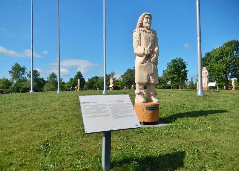
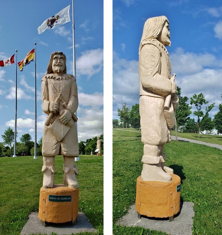
Samuel de Champlain
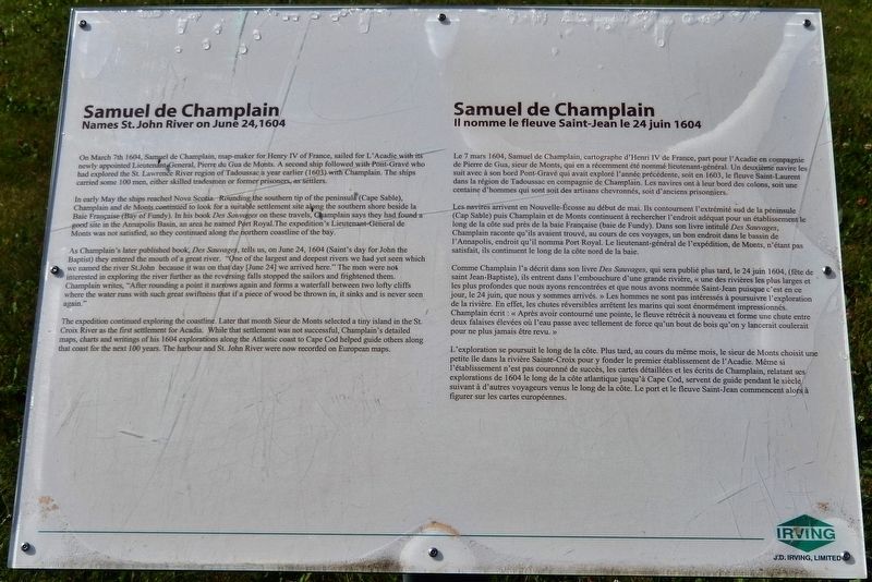
Names St. John River on June 24, 1604 / Il nomme le fleuve Saint-Jean le 24 juin 1604
On March 7th 1604, Samuel de Champlain, map-maker for Henry IV of France, sailed for L'Acadie with its newly appointed Lieutenant-General, Pierre du Gua de Monts. A second ship followed with Pont-Gravé who had explored the St. Lawrence River region of Tadoussac a year earlier (1603) with Champlain. The ships carried some 100 men, either skilled tradesmen or former prisoners, as settlers.
In early May the ships reached Nova Scotia. Rounding the southern tip of the peninsula (Cape Sable), Champlain and de Monts continued to look for a suitable settlement site along the southern shore beside la Baie Française (Bay of Fundy). In his book Des Sauvages on these travels, Champlain says they had found a good site in the Annapolis Basin, an area he named Port Royal. The expedition's Lieutenant-General de Monts was not satisfied, so they continued along the northern coastline of the bay.
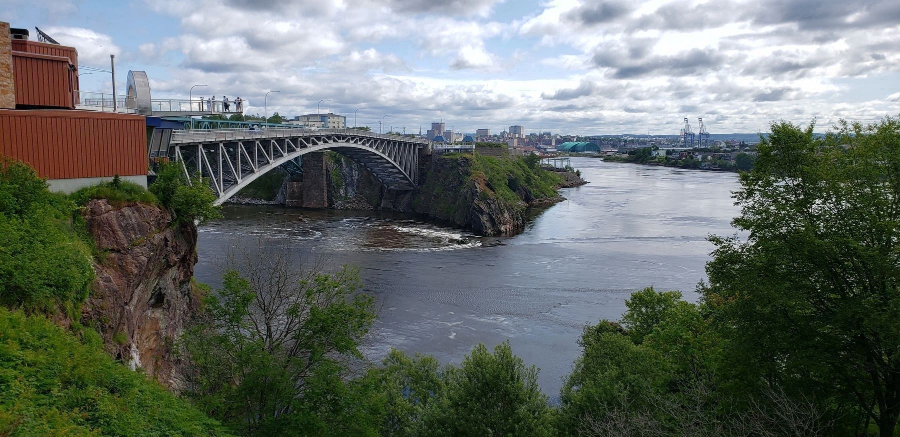
As Champlain's later published book, Des Sauvages, tells us, on June 24, 1604 (Saint's day for John the Baptist) they entered the mouth of a great river. "One of the largest and deepest rivers we had yet seen which we named the river St. John because it was on that day [June 24] we arrived here." The men were not interested in exploring the river further as the reversing falls stopped the sailors and frightened them. Champlain writes, "After rounding a point it narrows again and forms a waterfall between two lofty cliffs where the water runs with such great swiftness that if a piece of wood be thrown in, it sinks and is never seen again."
The expedition continued exploring the coastline. Later that month Sieur de Monts selected a tiny island in the St. Croix River as the first settlement for Acadia. While that settlement was not successful, Champlain's detailed maps, charts and writings of his 1604 explorations along the Atlantic coast to Cape Cod helped guide others along that coast for the next 100 years. The harbour and St. John River were now recorded on European maps.
Le 7 mars 1604, Samuel de Champlain, cartographe d'Henri IV de France, part pour l'Acadie en compagnie de Pierre de Gua, sieur de Monts, qui en a récemment été nommé lieutenant-général. Un deuxième navire les suit avec à son bord Pont-Gravé qui avait exploré l'année précédente, soit en 1603, le fleuve Saint-Laurent dans la région de Tadoussac en compagnie de Champlain. Les navires ont à leur bord des colons, soit une centaine d'hommes qui sont soit des artisans chevronnés, soit d'anciens prisonniers.
Les navires arrivent en Nouvelle-Écosse au début de mai. Ils contournent l'extrémité sud de la péninsule (Cap Sable) puis Champlain et de Monts continuent à rechercher l'endroit adéquat pour un établissement le long de la côte sud près de la baie Française (baie de Fundy). Dans son livre intitulé Des Sauvages, Champlain raconte qu'ils avaient trouvé, au cours de ces voyages, un bon endroit dans le bassin de l'Annapolis, endroit qu'il nomma Port Royal. Le lieutenant-général de l'expédition, de Monts, n'étant pas satisfait, ils continuent le long de la côte nord de la baie.
Comme Champlain l'a décrit dans son livre Des Sauvages, qui sera publié plus tard, le 24 juin 1604, (fête de saint Jean-Baptiste), ils entrent dans l'embouchure d'une grande rivière, « une des rivières les plus larges et les plus profondes que nous ayons rencontrées et que nous avons nommée Saint-Jean puisque c'est en ce jour, le 24 juin, que nous y sommes arrivés. » Les hommes ne sont pas intéressés à poursuivre l'exploration de la rivière. En effet, les chutes réversibles arrêtent les marins qui sont énormément impressionnés. Champlain écrit : « Après avoir contourné une pointe, le fleuve rétrécit à nouveau et forme une chute entre deux falaises élevées où l'eau passe avec tellement de force qu'un bout de bois qu'on y lancerait coulerait pour ne plus jamais être revu. »
L'exploration se poursuit le long de la côte. Plus tard, au cours du même mois, le sieur de Monts choisit une petite île dans la rivière Sainte-Croix pour y fonder le premier établissement de l'Acadie. Même si l'établissement n'est pas couronné de succès, les cartes détaillées et les écrits de Champlain, relatant ses explorations de 1604 le long de la côte atlantique jusqu'à Cape Cod, servent de guide pendant le siècle suivant à d'autres voyageurs venus le long de la côte. Le port et le fleuve Saint-Jean commencent alors à figurer sur les cartes européennes.
Erected by J.D. Irving, Limited.
Topics. This historical marker is listed in these topic lists: Colonial Era • Exploration • Settlements & Settlers • Waterways & Vessels. A significant historical date for this entry is June 24, 1604.
Location. 45° 15.44′ N, 66° 5.37′ W. Marker is in Saint John, New Brunswick, in Saint John County. Marker can be reached from Lancaster Avenue, 0.2 kilometers east of Bridge Road (New Brunswick Route 100), on the left when traveling east. Marker is located along the walking path in Wolastoq Park, on the north side of the park. Touch for map. Marker is at or near this postal address: 211 Lancaster Avenue, Saint John NB E2M 2K8, Canada. Touch for directions.
Other nearby markers. At least 8 other markers are within walking distance of this marker. Françoise Marie Jacquelin (a few steps from this marker); Land of the Dawn

Photographed By Cosmos Mariner, July 15, 2019
4. Reversing Falls, Saint John River (Saint John, New Brunswick in distant background)
"After rounding a point it narrows again and forms a waterfall between two lofty cliffs where the water runs with such great swiftness that if a piece of wood be thrown in, it sinks and is never seen again."
Related markers. Click here for a list of markers that are related to this marker. Wolastoq Park
Also see . . . Samuel de Champlain (Wikipedia). Samuel de Champlain was a French colonist, navigator, cartographer, draftsman, soldier, explorer, geographer, ethnologist, diplomat, and chronicler. He made between 21 and 29 trips across the Atlantic Ocean, and founded Quebec, and New France, on 3 July 1608. An important figure in Canadian history, Champlain created the first accurate coastal map during his explorations, and founded various colonial settlements. (Submitted on October 29, 2019, by Cosmos Mariner of Cape Canaveral, Florida.)
Credits. This page was last revised on November 2, 2019. It was originally submitted on October 19, 2019, by Cosmos Mariner of Cape Canaveral, Florida. This page has been viewed 412 times since then and 37 times this year. Photos: 1, 2, 3. submitted on October 22, 2019, by Cosmos Mariner of Cape Canaveral, Florida. 4. submitted on October 23, 2019, by Cosmos Mariner of Cape Canaveral, Florida.


