Kingston, Ontario — Central Canada (North America)
René-Robert Cavelier
De La Salle at Cataracoui
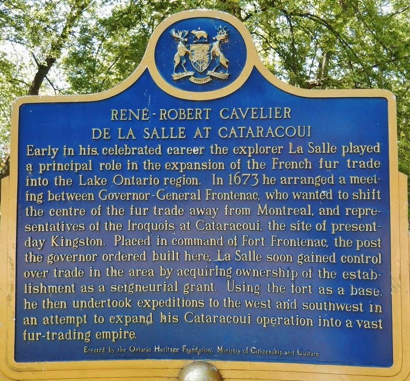
Early in his celebrated career the explorer La Salle played a principal role in the expansion of the French fur trade into the Lake Ontario region. In 1673 he arranged a meeting between Governor-General Frontenac, who wanted to shift the centre of the fur trade away from Montreal, and representatives of the Iroquois at Cataracoui, the site of present-day Kingston. Placed in command of Fort Frontenac, the post the governor ordered built here, La Salle soon gained control over trade in the area by acquiring ownership of the establishment as a seigneurial grant. Using the fort as a base, he then undertook expeditions to the west and southwest in an attempt to expand his Cataracoui operation into a vast fur-trading empire.
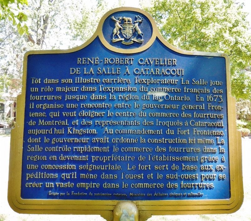
Tôt dans son illustre carrière, l'explorateur La Salle joue un rôle majeur dans l'expansion du commerce français des fourrures jusque dans la région dû lac Ontario. En 1673, il organise une rencontre entre le gouverneur général Frontenac, qui veut éloigner le centre du commerce des fourrures de Montréal, et des représentants des Iroquois à Cataracoui, aujourd’hui Kingston. Au commandement du Fort Frontenac, dont le gouverneur avait ordonné la construction ici même. La Salle contrôle rapidement le commerce des fourrures dans la région en devenant propriétaire de l'établissement grâce à une concession seigneuriale. Le fort sert de base aux expéditions qu'il mène dans l'ouest et le sud-ouest pour se créer un vaste empire dans le commerce des fourrures.
Erected by Ontario Heritage Foundation, Ministry of Citizenship and Culture.
Topics and series. This historical marker is listed in these topic lists: Colonial Era • Exploration • Forts and Castles • Industry & Commerce. In addition, it is included in the Canada, Ontario Heritage Foundation series list. A significant historical year for this entry is 1673.
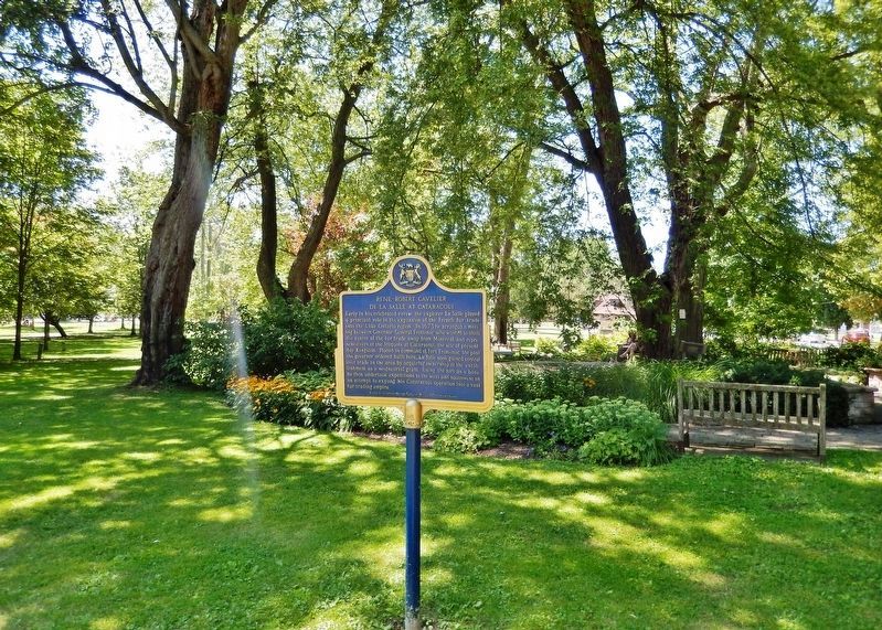
Location. 44° 13.603′ N, 76° 29.265′ W. Marker is in Kingston, Ontario. Marker is on West Street just south of Bagot Street, on the right when traveling south. Marker is located on the west side of City Park near Lower Union Street. Touch for map. Marker is in this post office area: Kingston ON K7L, Canada. Touch for directions.
Other nearby markers. At least 8 other markers are within walking distance of this marker. Militia Garrison 1837-38 (within shouting distance of this marker); 21st Battalion CEF Cenotaph (about 120 meters away, measured in a direct line); Kirkpatrick Fountain (about 150 meters away); Frontenac County Court House / Palais de Justice du Comté de Frontenac (about 180 meters away); Sir John Alexander Macdonald (about 210 meters away); The Kingston Observatory / L’Observatoire de Kingston (about 210 meters away); Early Land Survey in Ontario / Premiers Travaux D'Arpentage en Ontario (about 240 meters away); Charles Sangster (about 240 meters away). Touch for a list and map of all markers in Kingston.
More about this marker. Kingston is independent from the surrounding Frontenac County.
Also see . . .
1. René-Robert Cavelier, Sieur de La Salle (Wikipedia). La Salle was nearly destitute when he traveled as a prospective colonist to North America. He sailed for New France in the spring of 1666. His brother Jean, a Sulpician priest, had moved there the year before. La Salle was granted a seigneurie on land at the western end of the Island of Montreal, which became known as Lachine. La Salle immediately began to issue land grants, set up a village and learn the languages of the native people, several tribes of Iroquois in this area. (Submitted on October 24, 2019, by Cosmos Mariner of Cape Canaveral, Florida.)
2. René-Robert Cavelier, Sieur de La Salle.
La Salle befriended New France Governor Daniel Courcelle, the Count of Frontenac. Courcelle shared La Salle’s obsession with exploration, and together they pursued a policy of extending French military power across the Great Lakes. La Salle sold his settlement and in 1673 traveled to France to obtain permission from French King Louis XIV to explore the region between Florida, Mexico and New France. (Submitted on October 24, 2019, by Cosmos Mariner of Cape Canaveral, Florida.)
3. René-Robert Cavelier de La Salle 1670-1687. Louis XIV commissioned La Salle to establish a French colony in Louisiana. Sickness, shortage of supplies and drinking water, the loss of one of the vessels and the departure of another for France, the death or desertion of many of the men, all compromised the project to found a colony up the Mississippi. By March 1687, La Salle’s party was reduced to thirty-six persons. Bad-tempered, haughty and harsh, he alienated even those who had remained faithful to him to the end. He died in the land that is now Texas, shot dead at point blank range. Three of his companions had been murdered just before him. The conspirators who committed the murders then set about killing one another. (Submitted on October 24, 2019, by Cosmos Mariner of Cape Canaveral, Florida.)
Credits. This page was last revised on March 27, 2024. It was originally submitted on October 19, 2019, by Cosmos Mariner of Cape Canaveral, Florida. This page has been viewed 201 times since then and 25 times this year. Photos: 1, 2, 3. submitted on October 24, 2019, by Cosmos Mariner of Cape Canaveral, Florida.


