Georgesville near Grove City in Franklin County, Ohio — The American Midwest (Great Lakes)
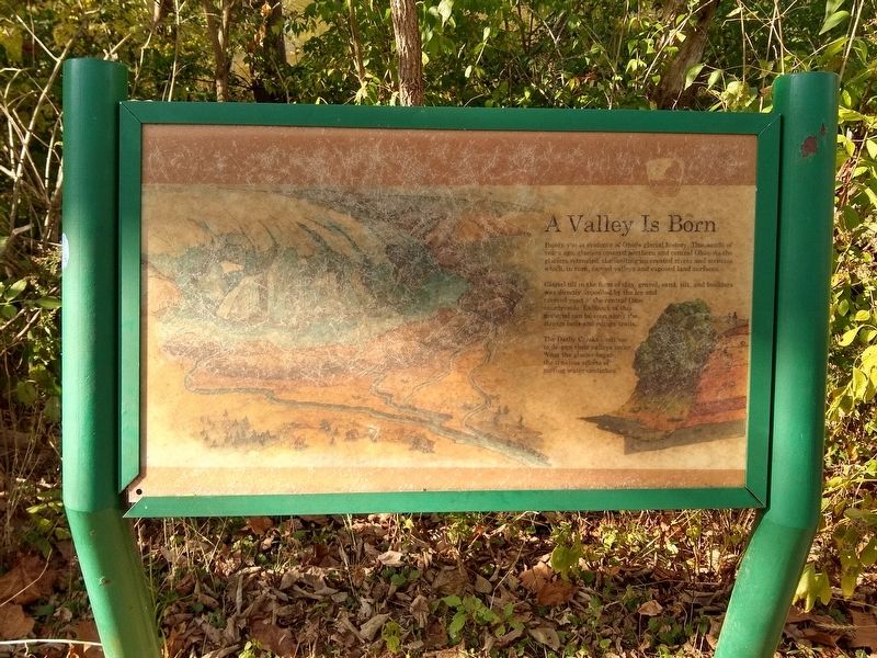
A Valley is Born
Photographed by Joel Seewald, October 14, 2019
1. A Valley is Born Marker
Glacial till in the form of clay, gravel, sand, silt, and boulders was directly deposited by the ice and covered most of the central Ohio countryside. Evidence of this material can be seen along the stream beds and nature trails.
The Darby Creeks continue to deepen their valleys today. What the glacier began, the timeless efforts of moving water continues.
Erected by Columbus and Franklin County Metro Parks.
Topics. This historical marker is listed in this topic list: Environment.
Location. 39° 52.974′ N, 83° 13.125′ W. Marker is near Grove City, Ohio, in Franklin County. It is in Georgesville. It can be reached from Harrisburg Georgesville Road (County Highway 281). Marker is on the Ancient Trail in Battelle Darby Creek Metro Park. The trail is reached from a small parking lot at the north end of Harrisburg Georgesville
this page online

Regionally, this marker is in the Scioto Valley and in the Columbus Metropolitan Area. It is also in the American Midwest and in the Corn Belt. Globally, it is in North America, the Western Hemisphere, the Western World, and the Anglosphere. Historically, it finds itself in what was once the Haudenosaunee (Iroquois) Confederacy, the territory of the Mississippian Culture, and the Northwest Territory.
Other nearby markers. At least 8 other markers are within 2 miles of this marker, measured as the crow flies: The Voss Site (approx. 0.2 miles away); Big Darby and Little Darby Creeks (approx. 0.7 miles away); Jack Kidwell (approx. 0.8 miles away); Hickory Hills Golf Club (approx. 0.8 miles away); a different marker also named Jack Kidwell (approx. 0.8 miles away); Louis G. Ruscilli (approx. 0.8 miles away); Ice Over Ohio (approx. 1.2 miles away); Big Darby Creek (approx. 1.2 miles away).
Photographed by Joel Seewald, October 14, 2019
2. A Valley is Born Marker
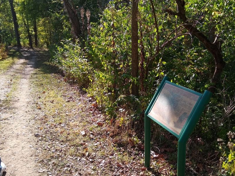
View looking to the southwest along the Ancient Trail.
Additional commentary.
1. Identical marker
There is an identical marker upstream at the observation point north of the Ranger Station off of Darby Creek Drive.
— Submitted October 22, 2019, by Joel Seewald of Madison Heights, Michigan.
Credits. This page was last revised on February 3, 2023. It was originally submitted on October 21, 2019, by Joel Seewald of Madison Heights, Michigan. This page has been viewed 350 times since then and 21 times this year. Photos: 1, 2. submitted on October 21, 2019, by Joel Seewald of Madison Heights, Michigan.
