Eastham in Barnstable County, Massachusetts — The American Northeast (New England)
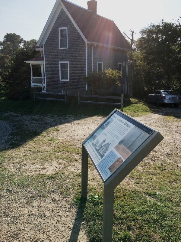
Keeping the Light for 114 Years
Cape Cod National Seashore
| — | National Park Service, U.S. Department of the Interior | — |

Photographed by Brandon D Cross, September 20, 2019
1. Keeping the Light for 114 Years Marker
”All the towers leaking bad. Everything all wet and in poor order
Log entry by Keeper Nathan Gill, 1874
Taking care of a lighthouse was demanding. The keeper was tasked with keeping the lights burning no matter the weather, and performing maintenance around the station. The first keeper’s house at Nauset Light was built in 1838, when the original three towers were constructed. In 1875, a second house was built because an assistant keeper and his family needed a place to live. The assistant lived in the original brick house and the head keeper moved into the new wood frame house. The keepers house has been moved twice – in 1923 and again in 1998.
In 1952 Nauset Light was automated and a keeper was no longer needed. The former keeper’s house is currently used as a residence. Please respect the privacy of the occupants – the house and yard are not open to the public.
Erected by National Park Service, U.S. Department of the Interior; the Nauset Light Preservation Society.
Topics and series. This historical marker is listed in these topic lists: Communications • Industry & Commerce • Waterways & Vessels.
this page online
Location. 41° 51.622′ N, 69° 57.176′ W. Marker is in Eastham, Massachusetts, in Barnstable County. It is on Nauset Light Beach Road 0.2 miles north of Cable Rd, on the right when traveling south. Touch for map. Marker is at or near this postal address: 120 Nauset Beach Rd, Eastham MA 02642, United States of America. Touch for directions.

Regionally, this marker is on Cape Cod. It is also in the American Northeast, in New England, and on the Eastern Seaboard. Globally, it is in the North Atlantic Region, North America, the Western Hemisphere, the Western World, and the Anglosphere. Historically, it finds itself in what was once one of the original Thirteen Colonies.
Other nearby markers. At least 8 other markers are within 2 miles of this marker, measured as the crow flies: The Nauset Lights (within shouting distance of this marker); Nauset Beach Light Station, a Shifting Landmark (within shouting distance of this marker); The Long, Black Cable (within shouting distance of this marker); Pushed Back by the Sea (about 300

Photographed by Brandon D Cross, September 20, 2019
2. Keeper Stephen Lewis (1883-1914)

Photographed by Brandon D Cross, September 20, 2019
3. Keeper Allison G. Haskins (1932-1938)

Photographed by Brandon D Cross, September 20, 2019
4. Nauset Center Tower
In 1911, the center tower of the “Three Sisters” was moved back from the bluff and attached to the 1875 keeper’s house.

Photographed by Brandon D Cross, September 20, 2019
5. Keepers log and butterfly wing
Keepers were tasked with watching for and reporting on passing ships, as well as taking note of the weather and “important events.”
Photographed by Brandon D Cross, September 20, 2019
6. Keeping the Light for 114 Years Marker
Photographed by Brandon D Cross, September 20, 2019
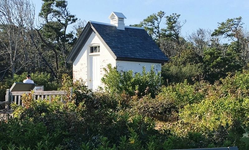
7. Lighthouse oil shed
Photographed by Brandon D Cross, September 20, 2019
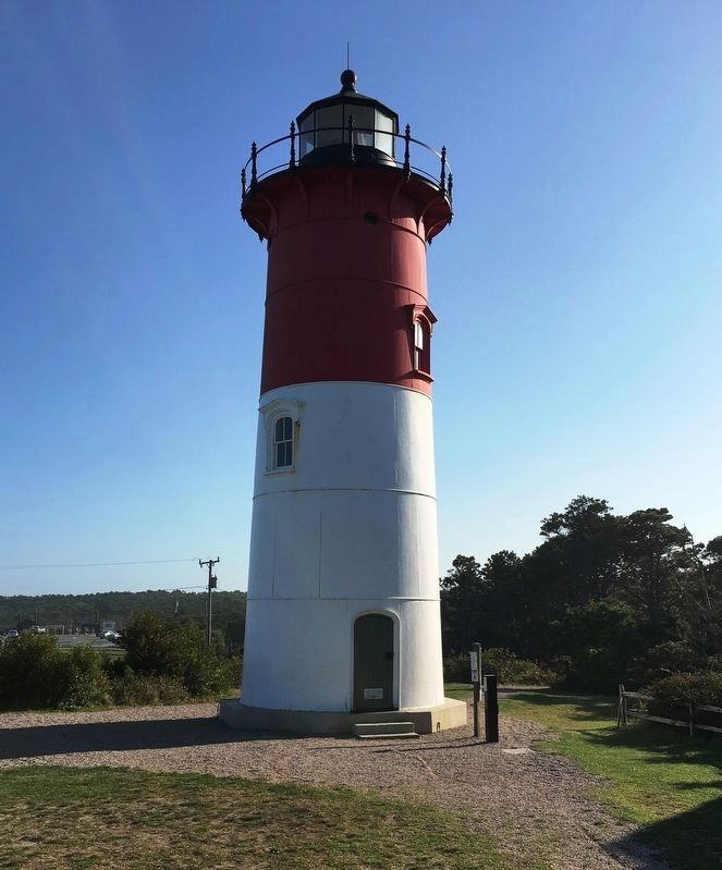
8. Nauset Lighthouse today
Credits. This page was last revised on July 31, 2026. It was originally submitted on October 21, 2019, by Brandon D Cross of Flagler Beach, Florida. This page has been viewed 422 times since then and 60 times this year. Last updated on July 31, 2026, by Daniel Holbrook of Huntington, West Virginia. Photos: 1, 2, 3, 4, 5, 6. submitted on October 21, 2019, by Brandon D Cross of Flagler Beach, Florida. 7, 8. submitted on October 23, 2019, by Brandon D Cross of Flagler Beach, Florida. • Devry Becker Jones was the editor who published this page.
