Near Pulaski in Oswego County, New York — The American Northeast (Mid-Atlantic)
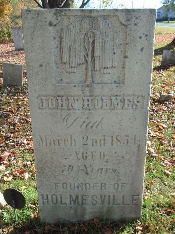
John Holmes
Died March 2nd 1854
| — | Aged 70 Years | — |
Photographed by William Fischer, Jr., October 21, 2019
1. John Holmes Marker

Holmesville
Topics. This historical marker is listed in these topic lists: Cemeteries & Burial Sites • Settlements & Settlers.
Location. 43° 30.425′ N, 76° 7.162′ W. Marker is near Pulaski, New York, in Oswego County. It is on Tinker Tavern Road (County Route 28) east of Interstate 81, on the left when traveling east. Marker is in McClelland Cemetery. Touch for map. Marker is in this post office area: Pulaski NY 13142, United States of America. Touch for directions.

Regionally, this marker is in Upstate New York, specifically in Central New York, and in the Syracuse Metropolitan Area. It is also in the American Northeast and in the Mid-Atlantic. Globally, it is in North America, on the Great Lakes, in the Western Hemisphere, in the Western World, and in the Anglosphere. Historically, it finds itself in what was once New Netherland and also one of the original Thirteen Colonies.
Other nearby markers. At least 8 other markers are within 5 miles of this marker, measured as the crow flies: Site of Log Tavern (approx. 4.1 miles away);
this page online
Regarding John Holmes. There was a Holmesville near Pulaski, not to be confused with the existing Holmesville in Chenango County NY, roughly 95 miles SSE of McClelland Cemetery.
Photographed by William Fischer, Jr., October 21, 2019
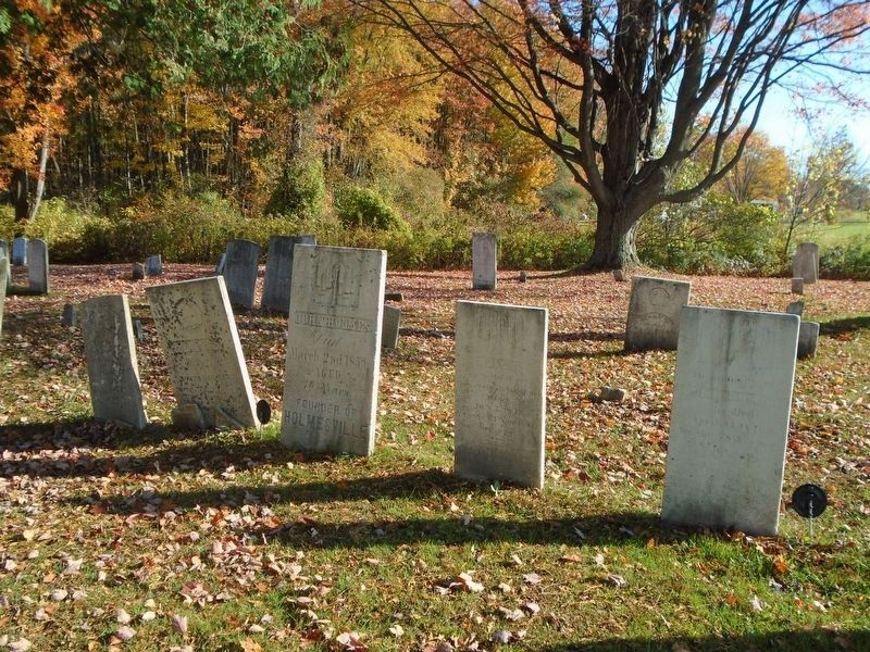
2. John Holmes Marker in Family Plot
Photographed by William Fischer, Jr., October 21, 2019
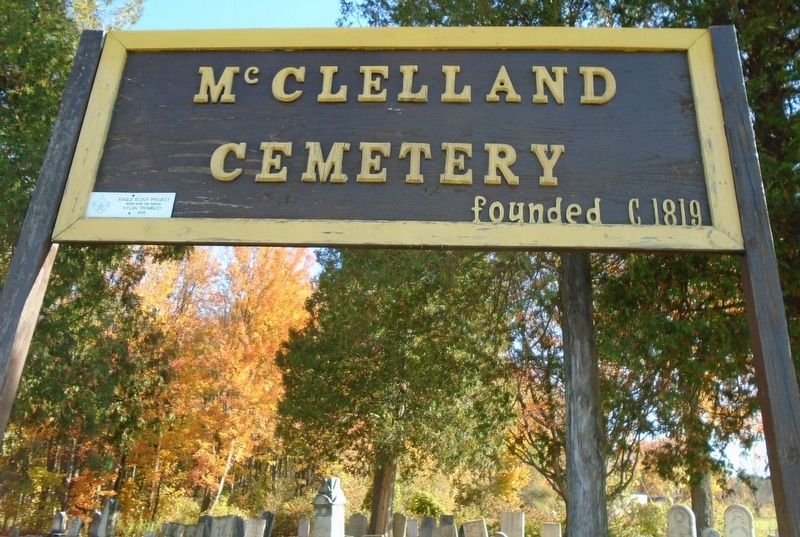
3. McClelland Cemetery Sign
Credits. This page was last revised on October 21, 2019. It was originally submitted on October 21, 2019, by William Fischer, Jr. of Reynoldsburg, Ohio. This page has been viewed 594 times since then and 28 times this year. Photos: 1, 2, 3. submitted on October 21, 2019, by William Fischer, Jr. of Reynoldsburg, Ohio.
