Mallorytown in Leeds and Grenville United Counties, Ontario — Central Canada (North America)
Mallorytown Glass Works
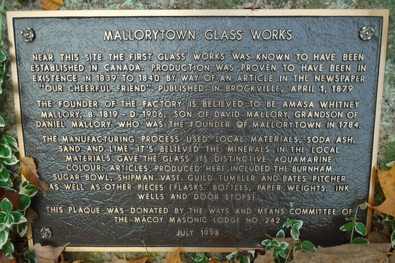
Photographed by William Fischer, Jr., October 21, 2019
1. Mallorytown Glass Works Marker

The founder of the factory is believed to be Amasa Whitney Mallory, b. 1819 - d. 1906, son of David Mallory, grandson of Daniel Mallory who was the founder of Mallorytown in 1784.
The manufacturing process used local materials, soda ash, sand and lime. It's believed the minerals in the local materials gave the glass its distinctive aquamarine colour. Articles produced here included the Burnham sugar bowl, Shipman vase, Guild tumbler and Bates pitcher as well as other pieces (flasks, bottles, paper weights, ink wells and door stops).
Erected 1998 by the Ways and Means Committee of the Macoy Masonic Lodge No 242.
Topics. This historical marker is listed in these topic lists: Industry & Commerce • Man-Made Features. A significant historical date for this entry is April 1, 1839.
Location. 44° 28.122′ N, 75° 53.372′ W. Marker is in Mallorytown, Ontario, in Leeds and Grenville
this page online

Regionally, this marker is in Eastern Ontario and specifically in Southeastern Ontario. It is also in Central Canada. Globally, it is in North America, the Western Hemisphere, the Western World, and the Anglosphere. Historically, it finds itself in what was once a British colony, the Viceroyalty of New France, the Haudenosaunee (Iroquois) Confederacy, and Rupert’s Land.
Other nearby markers. At least 8 other markers are within 6 kilometers of this marker, measured as the crow flies: War Memorial (approx. 1.4 kilometers away); Canada's First Glassworks (approx. 1.7 kilometers away); The “Remembrance Road” Memorial (approx. 2.7 kilometers away); The Macdonald Cartier Freeway (approx. 3.4 kilometers away); Chimney Island (Bridge Island) (approx. 4 kilometers away); a different marker also named The Macdonald Cartier Freeway (approx. 5.9 kilometers away); The "Artemis" (approx. 6.4 kilometers
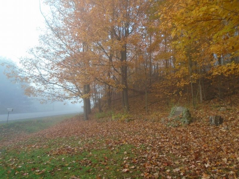
Photographed by William Fischer, Jr., October 21, 2019
2. Mallorytown Glass Works Marker
Also see . . . Mallorytown Glass Works. (Submitted on October 22, 2019, by William Fischer, Jr. of Reynoldsburg, Ohio.)
Credits. This page was last revised on November 11, 2021. It was originally submitted on October 22, 2019, by William Fischer, Jr. of Reynoldsburg, Ohio. This page has been viewed 673 times since then and 26 times this year. Photos: 1, 2. submitted on October 22, 2019, by William Fischer, Jr. of Reynoldsburg, Ohio.
