Hank Aaron State Trail
The Trail
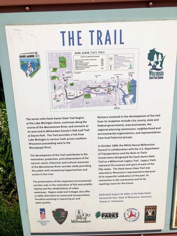
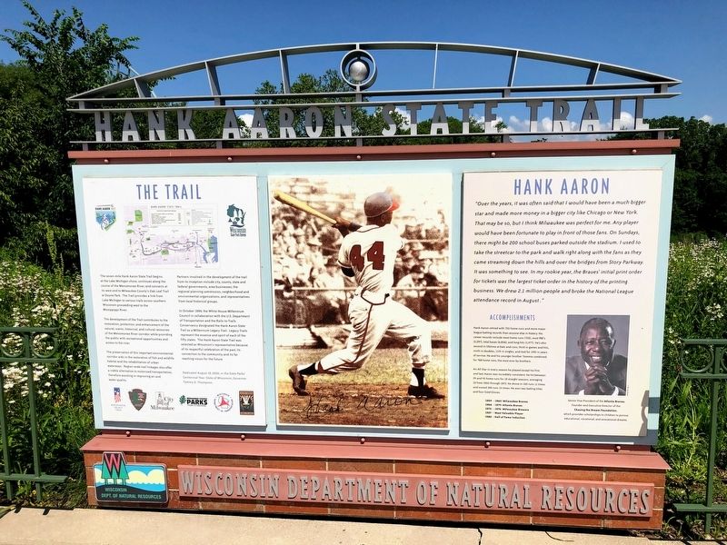
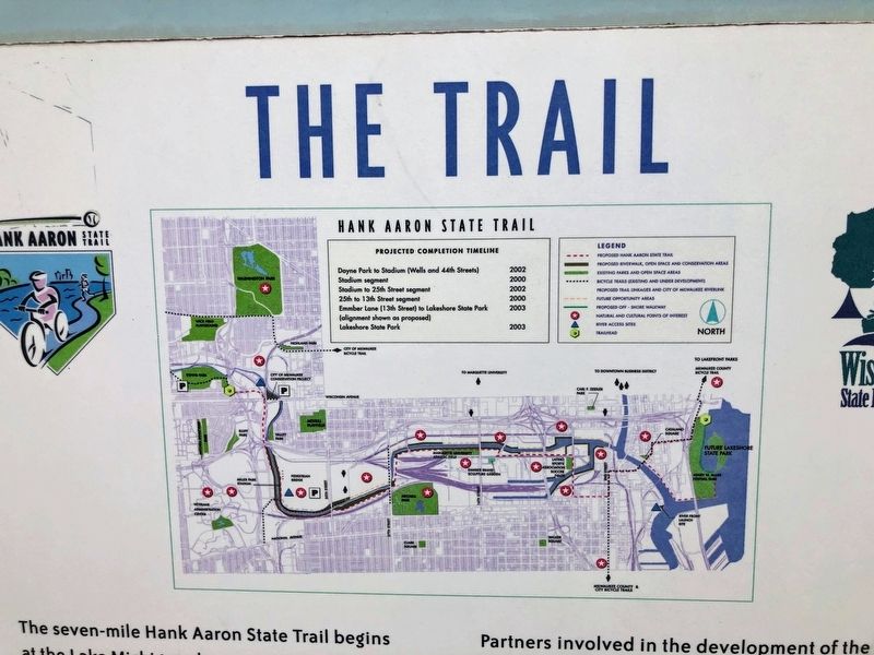
The development of the Trail contributes to the restoration, protection, and enhancement of the natural, scenic, historical, and cultural resources of the Menomonee River corridor while providing the public with recreational opportunities and access to the river.
The preservation of this important environmental corridor aids in the restoration of fish and wildlife habitat and the rehabilitation of urban waterways. Region-wide trail linkages also offer a viable alternative to motorized transportation, therefore assisting in improving air and water quality.
Partners involved in the development of the trail from its inception include city, county, state and federal governments, area businesses, the regional planning commission, neighborhood and environmental organizations, and representatives from local historical groups.
In October 1999, the White House Millennium Council in collaboration with the U.S. Department of Transportation and the Rails-to-Trails Conservancy designated the
Hank Aaron State Trail as a Millennium Legacy Trail. Legacy Trails represent the essence and spirit of each of the fifty states. The Hank Aaron State Trail was selected as Wisconsin's representative because of its respectful celebration of the past, its connection to the community, and its far reaching vision for the future.Erected 2000 by Wisconsin Department of Natural Resources.
Topics. This historical marker is listed in these topic lists: Parks & Recreational Areas • Sports.
Location. 43° 1.67′ N, 87° 57.954′ W. Marker is in Milwaukee, Wisconsin, in Milwaukee County. It is in Menomonee Valley. The marker is located near the walkway to Miller Park from the east parking lot. The marker is on the east side of the Menomonee River. Touch for map. Marker is at or near this postal address: 1 Brewers Way, Milwaukee WI 53214, United States of America. Touch for directions.
Other nearby markers. At least 8 other markers are within walking distance of this marker. Hank Aaron (here, next to this marker); Hank Aaron - Changing Times (within shouting distance of this marker); a different marker also named Hank Aaron - Changing Times (about 500 feet away, measured in a direct line); a different marker also named Hank Aaron - Changing Times (about 700 feet away); Milwaukee Braves, 1953-1965 (approx. 0.2 miles away); Donald Eugene Conley (approx. 0.2 miles away); Andy Pafko (approx. 0.2 miles away); Bob Uecker (approx. 0.2 miles away). Touch for a list and map of all markers in Milwaukee.
Credits. This page was last revised on February 16, 2023. It was originally submitted on October 22, 2019, by Devon Polzar of Port Washington, Wisconsin. This page has been viewed 209 times since then and 18 times this year. Photos: 1, 2, 3, 4, 5. submitted on October 22, 2019, by Devon Polzar of Port Washington, Wisconsin. • Mark Hilton was the editor who published this page.


