Near Georgesville in Franklin County, Ohio — The American Midwest (Great Lakes)
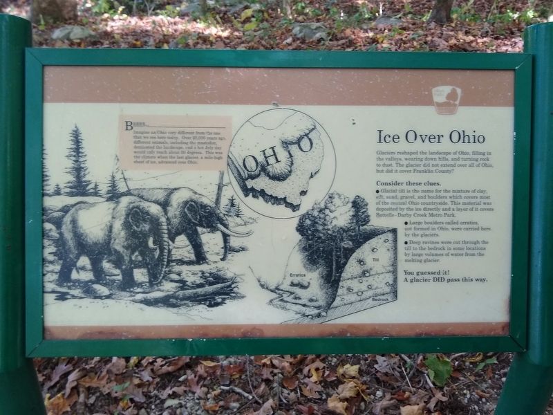
Ice Over Ohio
Glaciers reshaped the landscape of Ohio, filling in the valleys, wearing down hills, and turning rock to dust. The glacier did not extend over all of Ohio, but did it cover Franklin County?
Consider these clues.
• Glacial till is the name for the mixture of clay, silt, sand, gravel, and boulders which covers most of the central Ohio countryside. This material was deposited by the ice directly and a layer of it covers Battelle - Darby Creek Metro Park.
• Large boulders called erratics, not formed in Ohio, were carried here by the glaciers.
• Deep ravines were cut through the till to the bedrock in some locations by large volumes of water from the melting glacier.
Your guessed it!
A glaier DID pass this way.
Brrrr...
Imagine an Ohio very different from the one that we see here today. Over 25,000 years ago, different animals, including the mastodon, dominated the landscape, and a hot July day would only reach about 60 degrees. This was the climate when the last glacier, a mile-high sheet of ice, advanced over Ohio.
Erected by Columbus and Franklin County Metro Parks.
Topics. This historical marker is listed in this topic list: Environment.
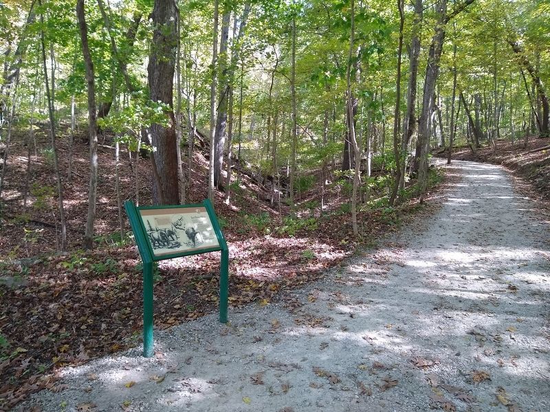
Location. 39° 53.994′ N, 83° 12.81′ W. Marker is near Georgesville, Ohio, in Franklin County. Marker can be reached from Darby Creek Drive. The marker is near Big Darby Creek, along the Cobshell Trail in Battelle Darby Creek Metro Park where the trail down the hill from the Ranger Station to the creek meets the part of the trail that parallels the creek. Touch for map. Marker is at or near this postal address: 1775 Darby Creek Drive, Galloway OH 43119, United States of America. Touch for directions.
Other nearby markers. At least 8 other markers are within 2 miles of this marker, measured as the crow flies. Big Darby Creek (within shouting distance of this marker); A Valley Is Born (about 500 feet away, measured in a direct line); Big Darby and Little Darby Creeks (approx. 0.4 miles away); Stories in the Sediments (approx. 0.9 miles away); Back to the Same Old Grind (approx. 0.9 miles away); The Glaciers Did It (approx. 0.9 miles away); A Valley is Born (approx. 1.2 miles away); The Voss Site (approx. 1.4 miles away). Touch for a list and map of all markers in Georgesville.
Credits. This page was last revised on October 23, 2019. It was originally submitted on October 23, 2019, by Joel Seewald of Madison Heights, Michigan. This page has been viewed 167 times since then and 20 times this year. Photos: 1, 2. submitted on October 23, 2019, by Joel Seewald of Madison Heights, Michigan.

