Carrollton in Carroll County, Arkansas — The American South (West South Central)
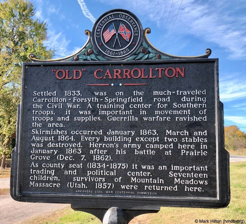
"Old" Carrollton
Skirmishes occurred January 1863, March and August 1864. Every building except two stables was destroyed. Herron's army camped here in January 1863, after the Battle of Prairie Grove (Dec. 7, 1862).
As county seat (1834-1875) it was an important trading and political center. Seventeen children, survivors of Mountain Meadows Massacre (Utah, 1857) were returned here.
Erected 1965 by Arkansas Civil War Centennial Commission.
Topics. This historical marker is listed in these topic lists: Roads & Vehicles • War, US Civil. A significant historical month for this entry is January 1863.
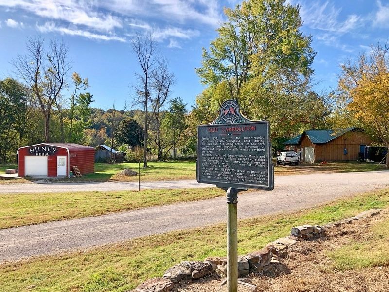
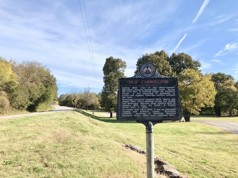
Location. 36° 15.756′ N, 93° 19.296′ W. Marker is in Carrollton, Arkansas, in Carroll County. Marker is at the intersection of U.S. 412 and County Road 917, on the right when traveling north on U.S. 412. Located next to a roadside park. Touch for map. Marker is in this post office area: Alpena AR 72611, United States of America. Touch for directions.
Other nearby markers. At least 6 other markers are within 18 miles of this marker, measured as the crow flies. Yell Masonic Lodge Hall (about 400 feet away, measured in a direct line); The Mountain Meadows Massacre (about 400 feet away); Skirmish At Yocum Creek (approx. 8 miles away); Boone County Caravan Spring (approx. 12.6 miles away); Arkansas Marble in Washington’s Monument (approx. 15.4 miles away); Old Buffalo River Bridge (approx. 17.3 miles away).
Credits. This page was last revised on October 25, 2019. It was originally submitted on October 25, 2019, by Mark Hilton of Montgomery, Alabama. This page has been viewed 642 times since then and 72 times this year. Photos: 1, 2, 3. submitted on October 25, 2019, by Mark Hilton of Montgomery, Alabama.


