Everton in Boone County, Arkansas — The American South (West South Central)
Skirmish at Rolling Prairie
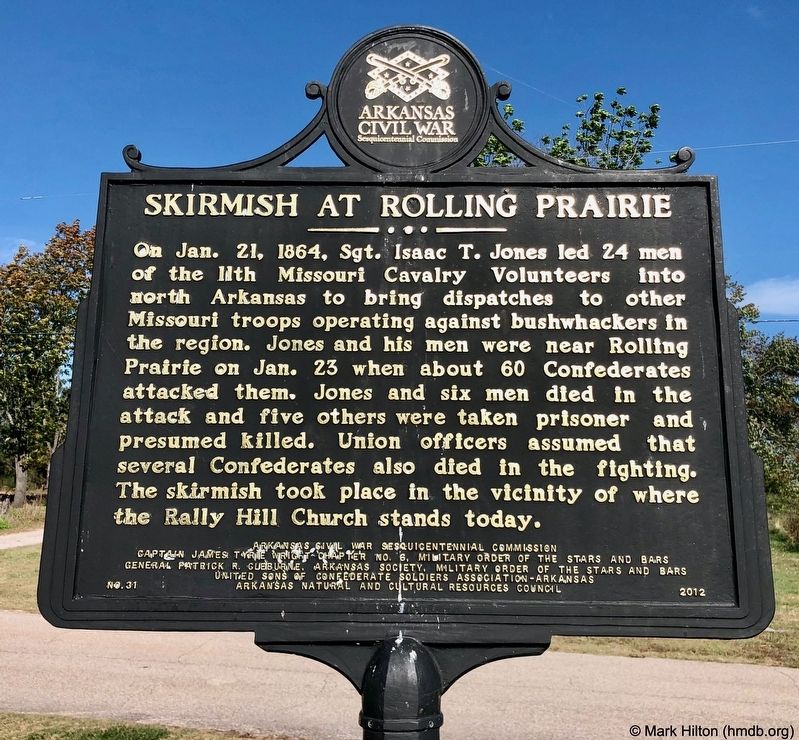
Photographed by Mark Hilton, October 23, 2019
1. Skirmish at Rolling Prairie Marker
Erected 2012 by Arkansas Civil War Sesquicentennial Commission, Captain James Tyrie Wright Chapter No. 6, Military Order of the Stars and Bars, General Patrick R. Cleburne, Arkansas Society, Military Order of the Stars and Bars, United Sons of Confederate Soldiers Association-Arkansas, Arkansas Natural and Cultural Resources Council. (Marker Number 31.)
Topics and series. This historical marker is listed in this topic list: War, US Civil. In addition, it is included in the Arkansas Civil War Sesquicentennial Commission series list. A significant historical date for this entry is January 21, 1864.
Location. 36° 9.553′ N,
this page online

Regionally, this marker is on the Ozark Plateau and in Osage Territory. It is also in the American South, specifically in the Upper South, and in the Ozarks. Globally, it is in North America, the Western Hemisphere, the Western World, and the Anglosphere. Historically, it finds itself in what was once the territory of the Mississippian Culture, the Louisiana Purchase, one of the Confederate States of America, and the Antebellum South.
Other nearby markers. At least 8 other markers are within 10 miles of this marker, measured as the crow flies: Boone County Caravan Spring (approx. 9.7 miles away); The First National Bank of Berryville (approx. 10 miles away); The Walters Building (approx. 10 miles away); The Missouri & North Arkansas Railroad Office
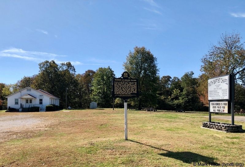
Photographed by Mark Hilton, October 23, 2019
2. Skirmish at Rolling Prairie Marker and church.
Credits. This page was last revised on October 25, 2019. It was originally submitted on October 25, 2019, by Mark Hilton of Montgomery, Alabama. This page has been viewed 987 times since then and 90 times this year. Photos: 1, 2. submitted on October 25, 2019, by Mark Hilton of Montgomery, Alabama.
