
Penn Laird in Rockingham County, Virginia — The American South (Mid-Atlantic)
Battle of Cross Keys
Photographed by Bill Coughlin, October 21, 2019
1. Battle of Cross Keys Marker
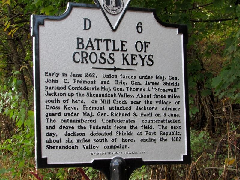
Early in June 1862, Union forces under Maj. Gen. John C. Frémont and Brig. Gen. James Shields pursued Confederate Maj. Gen. Thomas J. “Stonewall” Jackson up the Shenandoah Valley. About three miles south of here, on Mill Creek near the village of Cross Keys, Frémont attacked Jackson’s advance guard under Maj. Gen. Richard S. Ewell on 8 June. The outnumbered Confederates counterattacked and drove the Federals from the field. The next day, Jackson defeated Shields at Port Republic, about six miles south of here, ending the 1862 Shenandoah Valley campaign.
Erected 2017 by Department of Historic Resources. (Marker Number D 6.)
Topics and series. This historical marker is listed in this topic list: War, US Civil. In addition, it is included in the Virginia Department of Historic Resources (DHR) series list. A significant historical date for this entry is June 8, 1862.
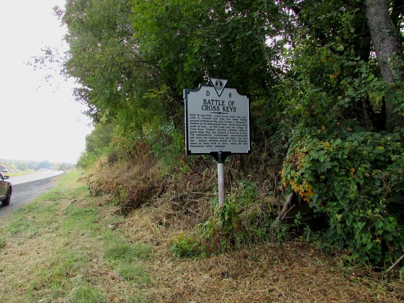
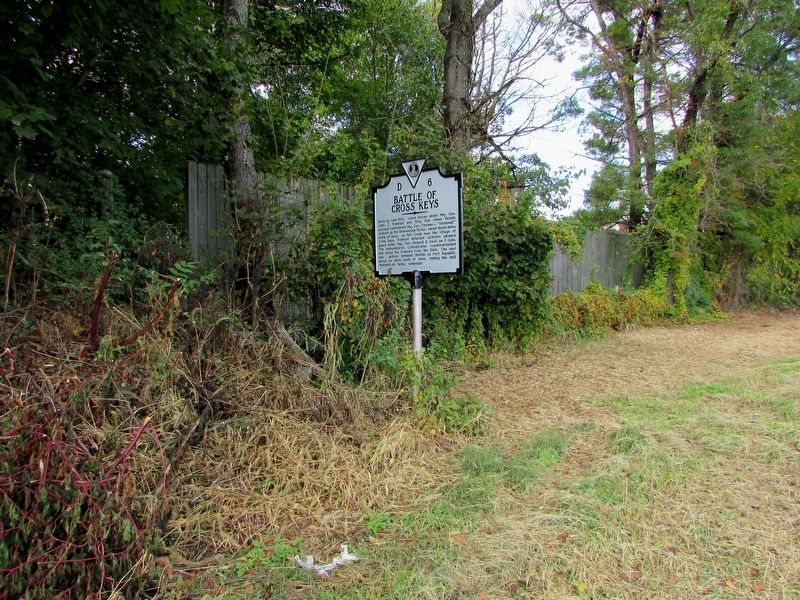
Location. 38° 23.513′ N, 78° 48.602′ W. Marker is in Penn Laird, Virginia, in Rockingham County. It is at the intersection of Spotswood Trail (U.S. 33) and Cross Keys Road (Virginia Route 276), on the right when traveling east on Spotswood Trail. Touch for map. Marker
this page online

Regionally, this marker is in Virginia’s Shenandoah Valley. It is also in the American South and specifically in the Upper South. Globally, it is in North America, the Western Hemisphere, the Western World, and the Anglosphere. Historically, it finds itself in what was once the territory of the Mississippian Culture, one of the original Thirteen Colonies, one of the Confederate States of America, and the Antebellum South.
Other nearby markers. At least 8 other markers are within 3 miles of this marker, measured as the crow flies: Kyles Mill House (approx. 1.6 miles away); a different marker also named Battle of Cross Keys (approx. 2.6 miles away); The Battle Dies Out (approx. 2.7 miles away); Walker's Flank Attack (approx. 2.7 miles away); The Attack on Buell's Battery (approx. 2.7 miles away); Cross Keys Cemetery (approx. 2.9 miles away); Union Church (approx. 2.9 miles away); Fighting in the Cemetery (approx. 2.9 miles away).
Other markers no longer nearby. Battle of Cross Keys (has been
Photographed by Bill Coughlin, October 21, 2019
2. Battle of Cross Keys Marker
Related marker. Click here for another marker that is related to this marker. Old Marker At This Location titled "Battle of Cross Keys"
Also see . . .
1. Battle of Cross Keys. Shenandoah at War website. (Submitted on October 25, 2019, by Bill Coughlin of Woodland Park, New Jersey.)
2. Battle of Cross Keys. American Battlefield Trust website. (Submitted on October 25, 2019, by Bill Coughlin of Woodland Park, New Jersey.)
Photographed by Bill Coughlin, October 21, 2019
3. Battle of Cross Keys Marker
Credits. This page was last revised on August 9, 2023. It was originally submitted on October 25, 2019, by Bill Coughlin of Woodland Park, New Jersey. This page has been viewed 884 times since then and 34 times this year. Photos: 1, 2, 3. submitted on October 25, 2019, by Bill Coughlin of Woodland Park, New Jersey.
