Anacostia Park in Southeast Washington in Washington, District of Columbia — The American Northeast (Mid-Atlantic)
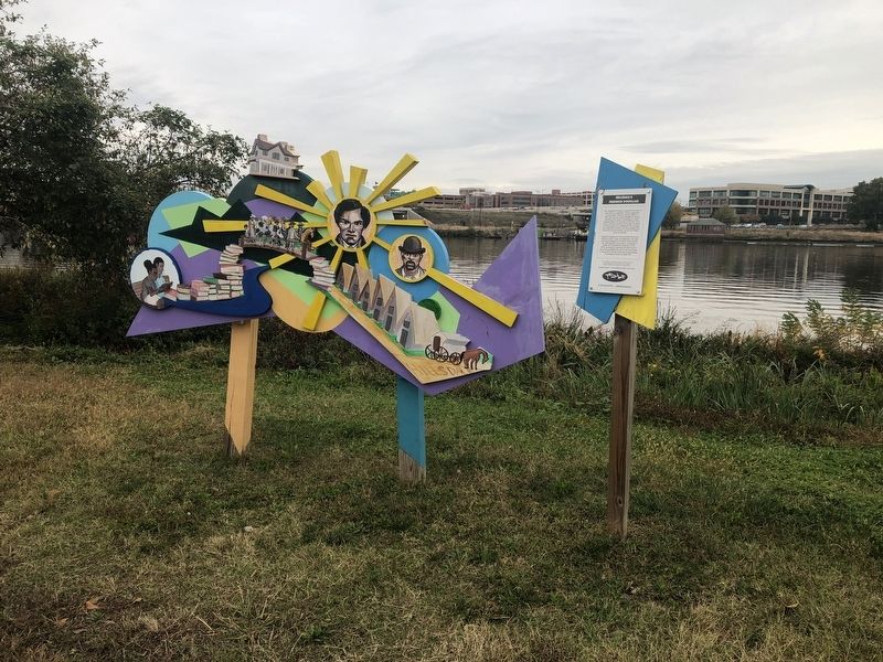
Hillsdale & Frederick Douglass
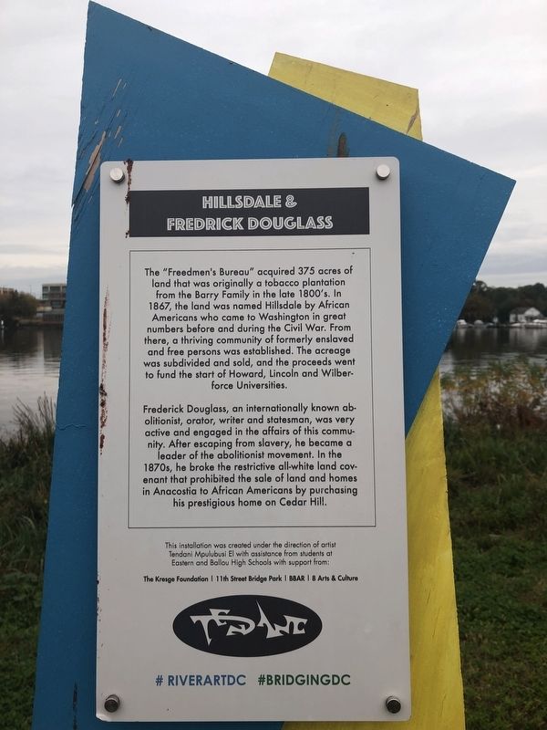
Frederick Douglass, an internationally known abolitionist, orator, writer and statesman, was very active and engaged in the affairs of this community. After escaping from slavery, he became a leader of the abolitionist movement. In the 1870s, he broke the restrictive all-white land covenant that prohibited the sale of land and homes in Anacostia to African Americans by purchasing his prestigious home on Cedar Hill.
Erected by Tendani Mpulubusi El with assistance from students at Eastern and Ballou High Schools with support from The Kresge Foundation, 11th Street Bridge Park, BBAR, 8 Arts & Culture.
Topics. This historical marker is listed
this page online
Location. 38° 52.316′ N, 76° 59.215′ W. Marker is in Southeast Washington in Washington, District of Columbia. It is in Anacostia Park. It is on Anacostia Drive 0.3 miles east of Good Hope Road Southeast, on the left when traveling east. Touch for map. Marker is at or near this postal address: 1900 Anacostia Drive, Washington DC 20020, United States of America. Touch for directions.

Regionally, this marker is in the Washington Metropolitan Area. It is also in the American Northeast, in the Upper South, in the Mid-Atlantic, in the Tidewater, and in the Chesapeake Bay Region. Globally, it is in North America, the Western Hemisphere, the Western World, and the Anglosphere.
Other nearby markers. At least 8 other markers are within walking distance of this marker: Swimming Pool Riot of 1949 (approx. 0.2 miles away); Flora & Fauna (approx. 0.2 miles away); Assassin's Trail (approx. ¼ mile away); Out of Segregation (approx. 0.3 miles away);
Credits. This page was last revised on January 30, 2023. It was originally submitted on October 26, 2019, by Devry Becker Jones of Washington, District of Columbia. This page has been viewed 351 times since then and 17 times this year. Photos: 1, 2. submitted on October 26, 2019, by Devry Becker Jones of Washington, District of Columbia.
