Near Perryville in Boyle County, Kentucky — The American South (East South Central)
Defense of Parsons’ Ridge
Perryville • The Battle For Kentucky
— October 8, 1862 —
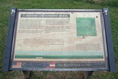
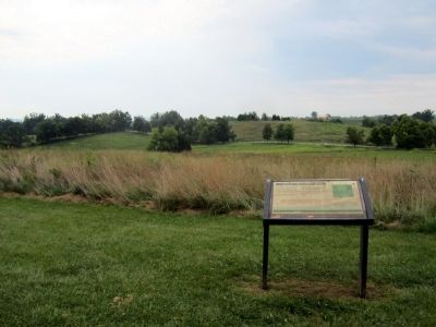
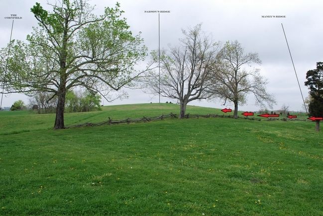
Because of Perryville’s rolling terrain, the Union army established one defensive position after another, each on a hilltop or ridge. While this hill marked the northern end of the Union battle line, other Federal soldiers arrived on the battlefield and occupied other ridges in front of you.
Regrouping, Maney’s brigade charged down the slope toward the new Union lines. Little did they know that three hours of intense fighting remained in a battle that would decide the fate of Kentucky.
The butchery was something awful. I remembered thinking at the time that I could walk upon dead bodies from where the enemy’s line was established until it reached the woods, some three hundred yards away. Of course, in making this charge we lost a great number of men.
Confederate officer Thomas Malone
Topics. This historical marker is listed in this topic list: War, US Civil.
Location. 37° 40.643′ N, 84° 58.381′ W. Marker is near Perryville, Kentucky, in Boyle County. Marker can be reached from Park Road west of Battlefield Road (Kentucky Route 1920). Located in Perryville Battlefield State Historic Site. Touch for map. Marker is at or near this postal address: 1825 Battlefield Road, Perryville KY 40468, United States of America. Touch for directions.
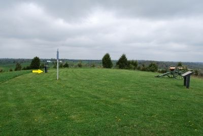
Other nearby markers. At least 8 other markers are within walking distance of this marker. On this Spot Brig. Gen. James S. Jackson Fell (a few steps from this marker); a different marker also named Defense of Parsons’ Ridge (a few steps from this marker); The Cornfield (about 400 feet away, measured in a direct line); Assault on Parsons’ Ridge (about 500 feet away); Turner's Battery (approx. 0.2 miles away); Maney's Attack (approx. 0.2 miles away); Union Monument (approx. 0.2 miles away); Army of the Mississippi (approx. 0.2 miles away). Touch for a list and map of all markers in Perryville.
More about this marker. On the bottom is a figure with the caption, “The image below shows the relative elevations of the three main ridges and hilltops over which Maney’s Brigade charged. Each color band represents ten feet of elevation. Even though the hills are not high, it was difficult for troops to see successive hilltops. Plus, the wide valleys allowed batteries and infantry on the hilltops to deliver devastating fire upon troops crossing the open ground.
Credits. This page was last revised on November 2, 2021. It was originally submitted on August 25, 2011, by Bernard Fisher of Richmond, Virginia. This page has been viewed 1,024 times since then and 41 times this year. Last updated on October 26, 2019, by Bob R Bogle of Tucson, Arizona. Photos: 1, 2. submitted on August 25, 2011, by Bernard Fisher of Richmond, Virginia. 3, 4. submitted on September 14, 2015, by Brandon Fletcher of Chattanooga, Tennessee. 5. submitted on August 25, 2011, by Bernard Fisher of Richmond, Virginia. • Devry Becker Jones was the editor who published this page.


