Huron in Erie County, Ohio — The American Midwest (Great Lakes)
Huron
⎯⎯⎯
Erie County
Photographed by J. J. Prats, August 6, 2019
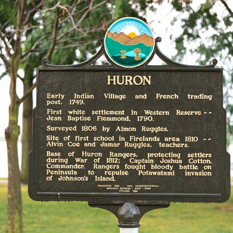
1. Huron face of marker
Huron. • Early Indian Village and French trading post, 1749. • First white settlement in Western Reserve — Jean Baptiste Flemmond, 1790. • Surveyed 1806 by Almon Ruggles. • Site of first school in Firelands area 1810 — Alvin Coe and Jamar Ruggles, teachers. • Base of Huron Rangers, protecting settlers during War of 1812; Captain Joshua Cotton, Commander. Rangers fought bloody battle on Peninsula to repulse Potawatami invasion of Johnson’s Island.
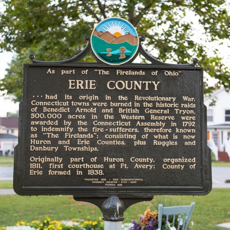
As part of “The Firelands of Ohio” Erie County had its origin in the Revolutionary War. Connecticut towns were burned in the historic raids of Benedict Arnold and the British General Tryon. 500,000 acres in the Western Reserve were awarded by the Connecticut Assembly in 1792 to indemnify the fire-sufferers, therefore known and “The Firelands;” consisting of what is now Huron and Erie Counties, plus Ruggles and Danbury Townships.
Originally part of Huron County, organized 1811, first courthouse at Fort Avery; County of Erie formed in 1838.
Erected 1953 by Sandusky Register-Star-News, founded 1822. Erected on Ohio’s Sesquicentennial.
Topics.
this page online
Location. 41° 23.88′ N, 82° 33.271′ W. Marker is in Huron, Ohio, in Erie County. It is on Park Street east of Ohio Street, on the left when traveling east. Touch for map. Marker is at or near this postal address: 310 Park St, Huron OH 44839, United States of America. Touch for directions.

Regionally, this marker is on Ohio’s Lake Erie Shore and in the Western Reserve. It is also in the American Midwest and in the Corn Belt. Globally, it is in North America, on the Great Lakes, in the Western Hemisphere, in the Western World, and in the Anglosphere. Historically, it finds itself in what was once the Haudenosaunee (Iroquois) Confederacy, the territory of the Mississippian Culture, and the Northwest Territory.
Other nearby markers. At least 8 other markers are within walking distance of this marker: Christ Episcopal Church (within shouting distance of this marker); a different marker also named Christ Episcopal Church (within shouting distance of this
Photographed by J. J. Prats, August 6, 2019
2. Erie County face of marker
Also see . . . Evolution of Huron. Huron Historical Society website entry (Submitted on August 19, 2024, by Larry Gertner of New York, New York.)
Photographed by J. J. Prats, August 6, 2019
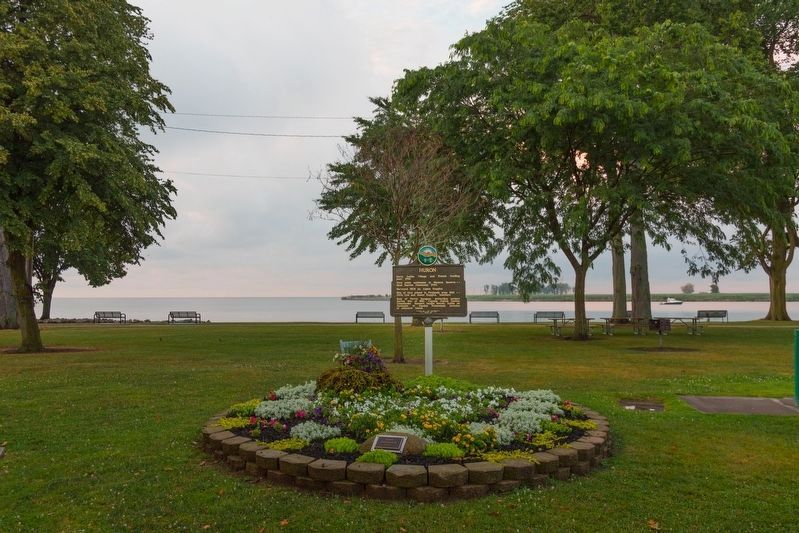
3. Huron / Erie County Marker
Marker is in Lake Front Park. Lake Erie is in the distance.
Credits. This page was last revised on August 19, 2024. It was originally submitted on October 26, 2019, by J. J. Prats of Powell, Ohio. This page has been viewed 561 times since then and 49 times this year. Photos: 1, 2, 3. submitted on October 26, 2019, by J. J. Prats of Powell, Ohio.
