Near Perryville in Boyle County, Kentucky — The American South (East South Central)
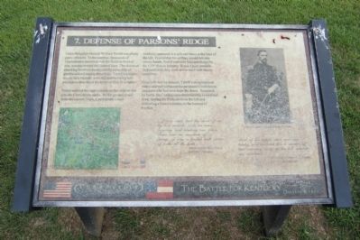
Defense of Parsons’ Ridge
Perryville • The Battle For Kentucky
— October 8, 1862 —
Terrill ordered the eight cannon on this ridge to fire into the Confederate ranks. As the ground shook from the cannon blasts, Confederate troops suddenly appeared at a split-rail fence at the base of the hill. Fearful that his artillery would fall into enemy hands, Terrill ordered a bayonet charge by the 123rd Illinois Infantry. It was a poor decision. Outnumbered, they were driven back with heavy casualties.
Even with reinforcements, Terrill’s inexperienced men could not withstand the persistent Confederate attackers who had now leapt the fence. Seasoned by battle, the Confederates determinedly loaded and fired, forcing the Federals from the hill and delivering a brutal initiation to the horrors of warfare.
...[T]he rebels had the start of us by two rounds while we were forming and loading our pieces. There was no cessation of firing...it was a perfect hail storm of balls all the time.
Union soldier Bliss Morse
105th Ohio Infantry
Most of the bullets went over our heads, and sounded like a swarm of bees running away in the hot summer air overhead.
Union Major James A. Connolly
123rd Illinois Infantry
Topics. This historical marker is listed in this topic list: War, US Civil.
Location. 37° 40.639′ N, 84° 58.369′ W. Marker is near Perryville, Kentucky, in Boyle County. Marker can be reached from Park Road west of Battlefield Road (Kentucky Route 1920). Located in Perryville Battlefield State Historic Site. Touch for map. Marker is at or near this postal address: 1825 Battlefield Road, Perryville KY 40468, United States of America. Touch for directions.
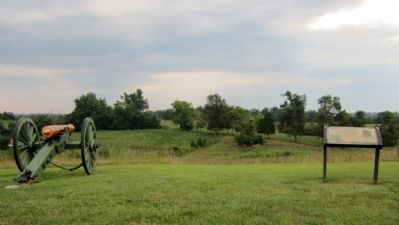
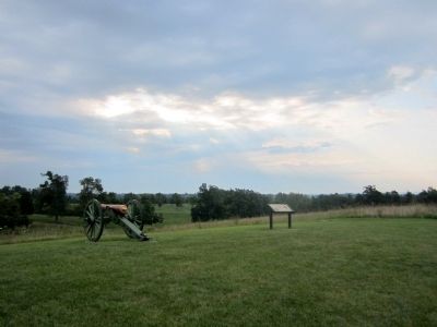
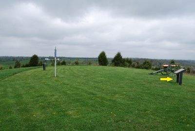
Other nearby markers. At least 8 other markers are within walking distance of this marker. On this Spot Brig. Gen. James S. Jackson Fell (a few steps from this marker); a different marker also named Defense of Parsons’ Ridge (a few steps from this marker); Assault on Parsons’ Ridge (about 400 feet away, measured in a direct line); The Cornfield (about 400 feet away); Turner's Battery (approx. 0.2 miles away); Union Monument (approx. 0.2 miles away); Maney's Attack (approx. 0.2 miles away); Army of the Mississippi (approx. 0.2 miles away). Touch for a list and map of all markers in Perryville.
More about this marker. On the upper right is a photograph of “Union Brigadier General William R. Terrill”
Credits. This page was last revised on November 2, 2021. It was originally submitted on August 25, 2011, by Bernard Fisher of Richmond, Virginia. This page has been viewed 842 times since then and 19 times this year. Last updated on October 26, 2019, by Bob R Bogle of Tucson, Arizona. Photos: 1, 2, 3. submitted on August 25, 2011, by Bernard Fisher of Richmond, Virginia. 4. submitted on September 14, 2015, by Brandon Fletcher of Chattanooga, Tennessee. • Devry Becker Jones was the editor who published this page.


