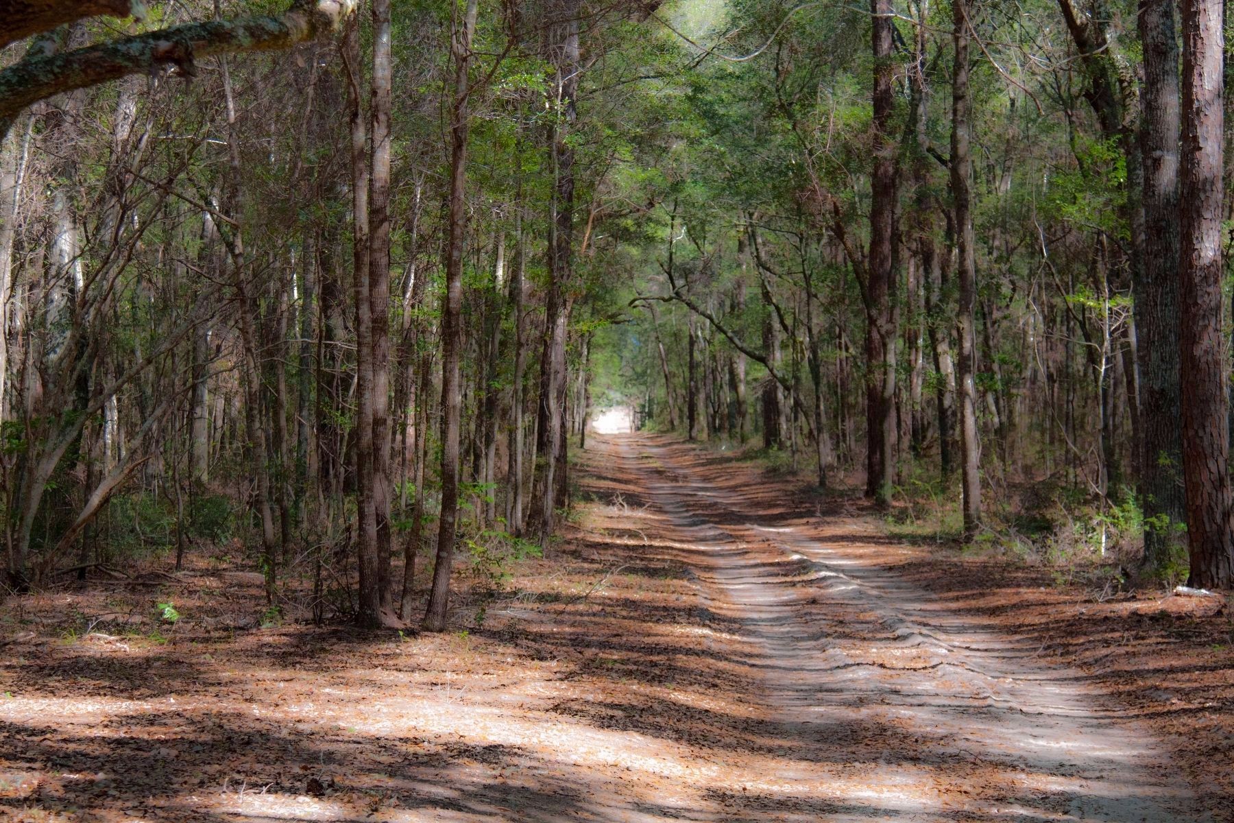
Near Murrells Inlet in Georgetown County, South Carolina — The American South (South Atlantic)
Brookgreen Gardens
Ever Changing. Simply Amazing.
Inscription.
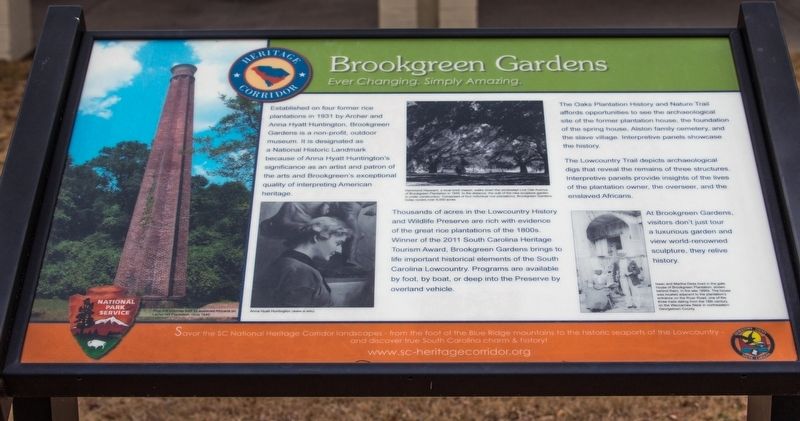
Established on four former rice
plantations in 1931 by Archer and Anna Hyatt Huntington, Brookgreen Gardens is a non-profit, outdoor
museum. It is designated as a National Historic Landmark because of Anna Hyatt Huntington’s
significance as an artist and patron of
the arts and Brookgreen’s exceptional
quality of interpreting American
heritage.
Thousands of acres in the Lowcountry History and Wildlife Preserve are rich with evidence of the great rice plantations of the 1800s. Winner of the 2011 South Carolina Heritage Tourism Award, Brookgreen Gardens brings to life important historical elements of the South Carolina Lowcountry. Programs are available by foot, by boat, or deep into the Preserve by overland vehicle.
The Oaks Plantation History and Nature Trail affords opportunities to see the archaeological site of the former plantation house, the foundation of the spring house, Alston family cemetery, and the slave village. Interpretive panels showcase the history.
The Lowcountry Trail depicts archaeological digs that reveal the remains of three structures. Interpretive panels provide insights of the lives of the plantation owner, the overseer, and the enslaved Africans.
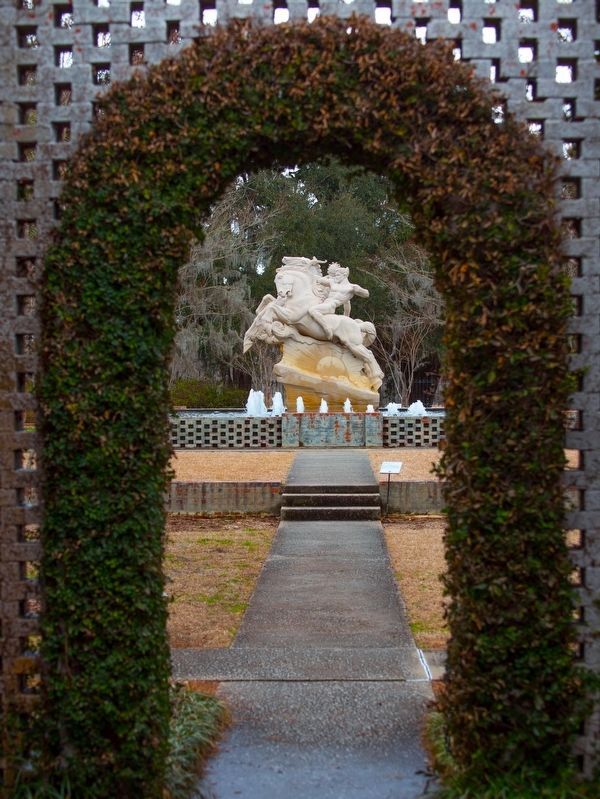
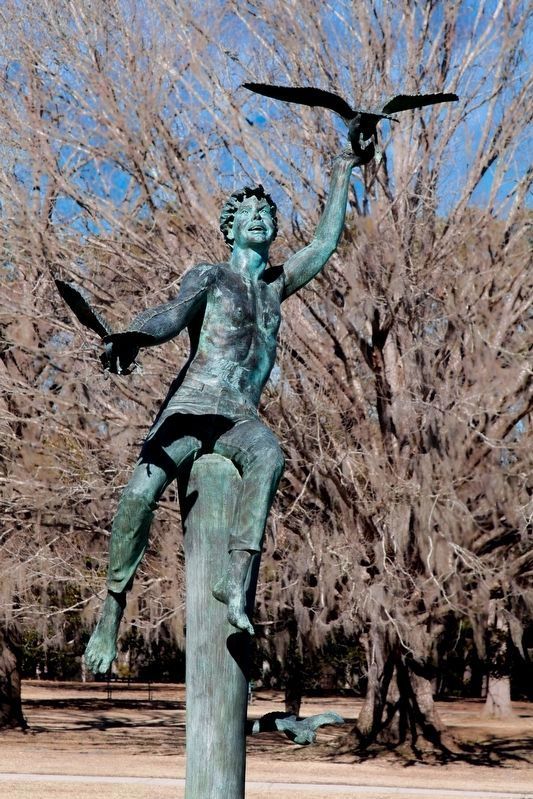
At Brookgreen Gardens, visitors don’t just tour a luxurious garden and view world-renowned sculpture, they relive history.
(photograph captions, left to right.)
“Rice mill chimney built by enslaves Africans on Laurel Hill Plantation, circa 1840” • A portrait of Anna Hyatt Huntington • “Hammond Heyward, a local brick mason, walks down the windswept Live Oak Avenue of Brookgreen Plantation in 1930. In the distance, the wall of the new sculpture garden is under construction. Comprised of four individual rice plantations, Brookgreen Gardens today covers 9,000 acres.” &bull “Isaac and Martha Deas lived in the gatehouse of Brookgreen Plantation, shown behind them, in the late 1890s. The house was located adjacent to the plantation’s entrance on the River Road, one of the three trails dating from the 18th century, on the Waccamaw Neck in northeastern Georgetown County.”
Topics. This historical marker is listed in these topic lists: African Americans • Agriculture • Arts, Letters, Music. A significant historical year for this entry is 1931.
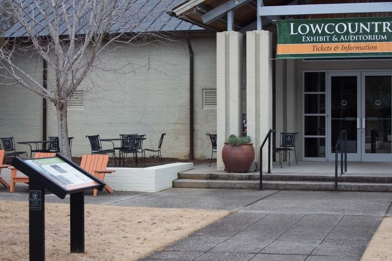
Location. 33° 31.241′ N, 79° 5.608′ W. Marker is near Murrells Inlet, South Carolina, in Georgetown County. Marker can be reached from the intersection of William Alston Loop and Joshua Ward Road. You must pay to enter the gardens to see the marker. It is “beyond the garden” in the courtyard of the Wall Lowcountry Center, near the entrance to Lowcountry Exhibit Auditorium. Touch for map. Marker is at or near this postal address: 1931 Brookgreen Garden Drive, Murrells Inlet SC 29576, United States of America. Touch for directions.
Other nearby markers. At least 8 other markers are within 2 miles of this marker, measured as the crow flies. Washington’s Visit (approx. ¼ mile away); Washington Allston
Photographed By J. J. Prats, February 22, 2015
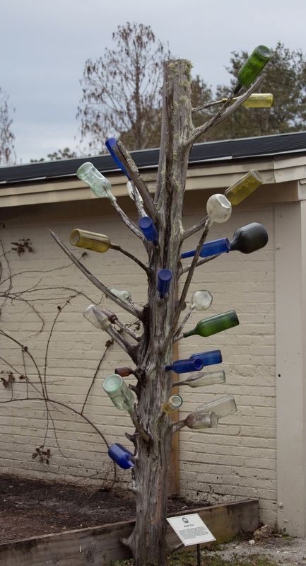
3. Bottle Tree
The sign at the tree: “This in interpretation of a bottle tree honors an age-old tradition of the African American community in the Lowcountry. Multicolored glass bottles hung on a tree attracted evil spirits that might have been lurking by the house. The bottles are slanted upward so that the spirits, mesmerized by the sunlit colors, are trapped once they have entered. As the wind blows across the mouth of the bottle, the spirits are heard to moan. The bottle tree has its roots in Africa and is a rare example of cultural transfer and survival.”
More about this marker. There is a per person fee to enter the gardens. It grants the bearer access for seven consecutive days.
Also see . . . Gulla Geechee Programs at Brookgreen Gardens. This page includes a video describing the plantations and its enslaved inhabitants.
(Submitted on October 27, 2019, by J. J. Prats of Powell, Ohio.)
Credits. This page was last revised on October 28, 2019. It was originally submitted on October 27, 2019, by J. J. Prats of Powell, Ohio. This page has been viewed 254 times since then and 25 times this year. Photos: 1, 2, 3, 4, 5, 6. submitted on October 27, 2019, by J. J. Prats of Powell, Ohio.
