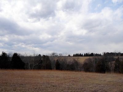
Near Manassas in Prince William County, Virginia — The American South (Mid-Atlantic)
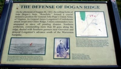
The Defense of Dogan Ridge
Topics. This historical marker is listed in this topic list: War, US Civil. A significant historical year for this entry is 1862.
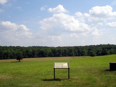
Location. This marker has been replaced by another marker nearby. It was located near 38° 49.049′ N, 77° 32.09′ W. Marker was near Manassas, Virginia, in Prince William County. Marker could be reached from Warrenton Turnpike (U.S. 29), on the right when traveling west. Located in the Manassas National Battlefield Park at the end of a private (National Park Service) driveway extending northwest from the Warrenton Turnpike (U.S Route 29). Touch for map. Marker was in this post office area: Manassas VA 20109, United States of America. Touch for directions.
Other nearby markers. At least 8 other markers are within walking distance of this location. Dogan Ridge (here, next to this marker); Federal Artillery Positions (approx. 0.3 miles away); Retreat from Chinn Ridge (approx. 0.4 miles away); a different marker also named Retreat from Chinn Ridge (approx. 0.4 miles away); Battlefield of Bull Run or First Manassas (approx. 0.4 miles away); Pope's Headquarters (approx. half a mile away); Visions of Victory (approx. half a mile away); Blocking the Union Advance (approx. half a mile away). Touch for a list and map of all markers in Manassas.
More about this marker. On the lower left of the marker is a sketch captioned, Based on a sketch by Edwin Forbes of the Union position on Dogan Ridge, as viewed from Henry Hill on August 30. The orchard at the Dogan House, in the center of the view, became a collection point for Union wounded after the battle. The house, destroyed during the war, was replaced by the present building in the late 19th century.
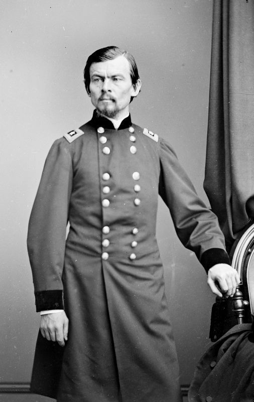
On the lower middle of the marker is a portrait captioned, Major General Franz Sigel
From his command post at Dogan House, First Corps commander Franz Sigel dispatched reinforcements to the fighting on Chinn Ridge and Henry Hill.
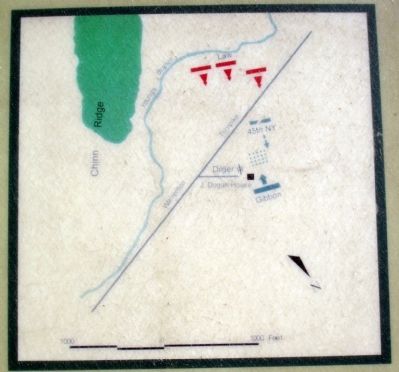
On the upper right of the marker is a map captioned, The Repulse of Law’s Attack
About 6 p.m. on August 30, Colonel Evander Law’s Confederates drove the 45th New York regiment up the slope of Dogan Ridge. Wisconsin troops under Brigadier General John Gibbon then counterattacked through the Dogan orchard and turned back Law’s troops on the hillside, while Captain Hubert Dilger’s 1st Ohio Light artillery battery lent support. After this sharp encounter, Pope’s troops withdrew in good order from Dogan Ridge eastward along the Warrenton Turnpike toward Stone Bridge.
Related marker. Click here for another marker that is related to this marker. This marker has been replaced with the linked marker.
Credits. This page was last revised on January 8, 2023. It was originally submitted on December 6, 2008. This page has been viewed 1,239 times since then and 31 times this year. Photos: 1, 2. submitted on December 6, 2008. 3. submitted on October 27, 2018, by Allen C. Browne of Silver Spring, Maryland. 4, 5. submitted on December 6, 2008. • Craig Swain was the editor who published this page.
