Near Wolf Creek in Lewis and Clark County, Montana — The American West (Mountains)
Old U.S. Highway 91
Photographed by Barry Swackhamer, August 13, 2019
1. Old U.S. Highway 91 Marker
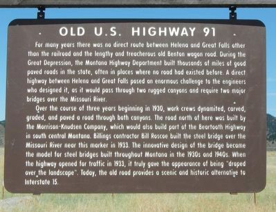
Over the course of three years beginning in 1930, work crews dynamited, carved, graded, and paved a road through both canyons. The road north of here was built by Morrison-Knudsen Company, which would also build part of the Beartooth Highway in south central Montana. Billings contractor Bill Roscoe built the steel bridge over the Missouri River near this marker in 1933. The innovative design of the bridge became the model for steel bridges built throughout Montana in the 1930s and 1940s When the highway opened to traffic in 1933, it truly gave the appearance of being "draped over the landscape". Today,
this page online
Erected by Montana Department of Transportation.
Topics. This historical marker is listed in these topic lists: Bridges & Viaducts • Roads & Vehicles. A significant historical year for this entry is 1930.
Location. 47° 1.199′ N, 112° 0.606′ W. Marker is near Wolf Creek, Montana, in Lewis and Clark County. It is at the intersection of Craig Frontage Road and Beartooth Road, on the left when traveling north on Craig Frontage Road. Touch for map. Marker is in this post office area: Wolf Creek MT 59648, United States of America. Touch for directions.

Regionally, this marker is in Central Montana, in Gold West Country and in Greater Helena. It is also in the American Mountain West and in the Lewis & Clark Corridor. Globally, it is in North America, the Rocky Mountains, the Western Hemisphere, the Western World, and the Anglosphere. Historically, it finds itself in what was once Rupert’s Land and also the Louisiana Purchase.
Other nearby markers. At least 8 other markers are within 9 miles of this marker, measured as the crow flies: The Mann Gulch Fire
Photographed by Barry Swackhamer, August 13, 2019
2. Old U.S. Highway 91 Marker
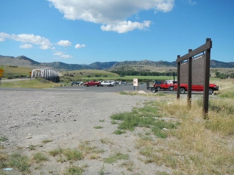
The Missouri River and bridge are in the distance.
Credits. This page was last revised on October 28, 2019. It was originally submitted on October 28, 2019, by Barry Swackhamer of Brentwood, California. This page has been viewed 1,749 times since then and 135 times this year. Photos: 1, 2. submitted on October 28, 2019, by Barry Swackhamer of Brentwood, California.
