
Charles Colcord
| — | The ‘89er Trail | — |
Cowboy, police chief, legislator, wildcatter, entrepreneur, and developer
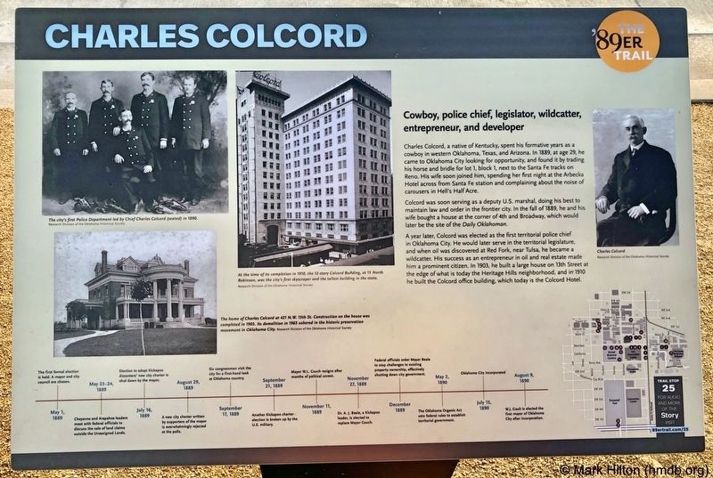
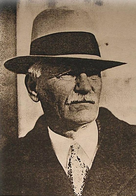
Charles Colcord, a native of Kentucky, spent his formative years as a cowboy in western Oklahoma, Texas, and Arizona. In 1889, at age 29, he came to Oklahoma City looking for opportunity, and found it by trading his horse and bridle for lot 1, block 1, next to the Santa Fe tracks on Reno. His wife soon joined him, spending her first night at the Arbecka Hotel across from Santa Fe station and complaining about the noise of carousers in Hell's Half Acre.
Colcord was soon serving as a deputy U.S. marshal, doing his best to maintain law and order in the frontier city. In the fall of 1889, he and his wife bought a house at the corner of 4th and Broadway, which would later be the site of the Daily Oklahoman.
A year later, Colcord was elected as the first territorial police chief in Oklahoma City. He would later serve in the territorial legislature, and when oil was discovered at Red Fork, near Tulsa, he became a wildcatter. His success as an entrepreneur in oil and real estate made him a prominent citizen. In 1903, he built a large house on 13th Street at the edge of what is today the Heritage Hills neighborhood, and in 1910 he built the Colcord office building, which today is the Colcord Hotel.
Photo captions:
Top left:The city's first Police Department led by Chief Charles Colcord (seated) in 1890.
Research Division of the Oklahoma Historical Society
Bottom left: The home of Charles Colcord at 421 N.W. 13th St. Construction on the house was completed in 1903. Its demolition in 1965 ushered in the historic preservation movement in Oklahoma City. Research Division of the Oklahoma Historical Society
Middle: At the time of its completion in 1910, the 12-story Colcord Building, at 15 North Robinson, was the city's first skyscraper and the tallest building in the state. Research Division of the Oklahoma Historical Society
Erected 2018
this page online
Topics and series. This historical marker is listed in these topic lists: Animals • Industry & Commerce • Law Enforcement • Settlements & Settlers. In addition, it is included in the The '89er Trail series list. A significant historical year for this entry is 1889.
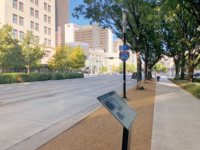
Location. 35° 27.979′ N, 97° 31.021′ W. Marker is in Oklahoma City, Oklahoma, in Oklahoma County. It is in Central Oklahoma City. It is on West Sheridan Avenue west of Ron Norick Boulevard, on the left when traveling west. Located at Myriad Botanical Gardens. Touch for map. Marker is at or near this postal address: West Sheridan Avenue, Oklahoma City OK 73102, United States of America. Touch for directions.

Regionally, this marker is in Central Oklahoma — Frontier Country. It is also in the American South, specifically on the prairies, and on the Southern Plains. Globally, it is in North America, the Western Hemisphere, the Western World, and the Anglosphere. Historically, it finds itself in what was once the territory of the Mississippian Culture and also the Louisiana
Other nearby markers. At least 8 other markers are within walking distance of this marker: Henry Overholser (within shouting distance of this marker); T.M. Richardson and the Oklahoma Bank (within shouting distance of this marker); Visit of the Congressmen (within shouting distance of this marker); A Summer of Political Unrest (about 700 feet away, measured in a direct line); South Oklahoma (about 700 feet away); The Resignation of Mayor William L. Couch (about 700 feet away); City Hall by Forfeiture (about 800 feet away); The Citizens' Committee (approx. 0.2 miles away). Touch for a list and map of all markers in Oklahoma City.
Also see . . . Wikipedia article on Charles Colcord. (Submitted on October 29, 2019, by Mark Hilton of Montgomery, Alabama.)
Credits. This page was last revised on February 16, 2023. It was originally submitted on October 29, 2019, by Mark Hilton of Montgomery, Alabama. This page has been viewed 368 times since then and 13 times this year. Photos: 1, 2, 3. submitted on October 29, 2019, by Mark Hilton of Montgomery, Alabama.
