Near Pensacola in Mayes County, Oklahoma — The American South (West South Central)
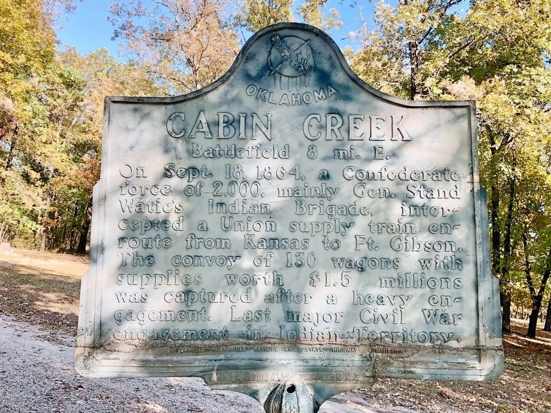
Cabin Creek
Battlefield 8 mi. E.
Inscription.
On Sept. 18, 1864, a Confederate force of 2,000, mainly Gen. Stand Watie's Indian Brigade, intercepted a Union supply train enroute from Kansas to Ft. Gibson. The convoy of 130 wagons with supplies worth $1.5 millions was captured after a heavy engagement. Last major Civil War engagement in Indian Territory.
Erected 1950 by Oklahoma Historical Society and State Highway Commission.
Topics and series. This historical marker is listed in these topic lists: Native Americans • War, US Civil. In addition, it is included in the Oklahoma Historical Society series list. A significant historical date for this entry is September 18, 1864.
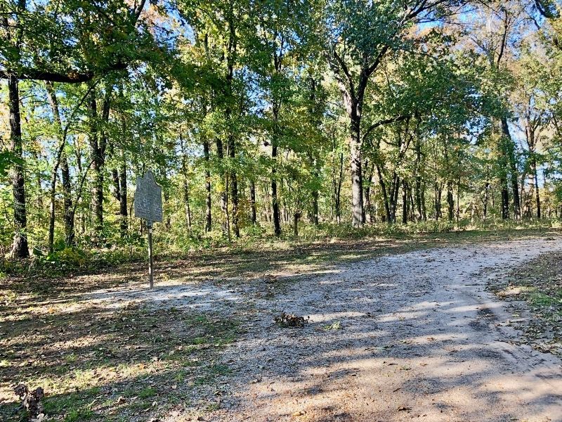
Location. 36° 29.341′ N, 95° 7.371′ W. Marker is near Pensacola, Oklahoma, in Mayes County. Marker can be reached from Battle Site Road (E0367 Road) (County Road 367) 0.7 miles east of County Route 4420. Touch for map. Marker is at or near this postal address: 442370 E0367 Road, Big Cabin OK 74332, United States of America. Touch for directions.
Other nearby markers. At least 8 other markers are within 8 miles of this marker, measured as the crow flies. 6th Kansas Cavalry (within shouting distance of this marker); 14th Kansas Cavalry (within shouting distance of this marker); 2nd Indian Homeguards (within shouting distance of this marker); 3rd Indian Homeguards (about 300 feet away, measured in a direct line); Confederate Soldiers (about 400 feet away); 1st Kansas Colored Volunteer Infantry (about 500 feet away); Old Military Road (approx. 4.4 miles away); Cabin Creek Battlefield (approx. 7.4 miles away). Touch for a list and map of all markers in Pensacola.
Regarding Cabin Creek. Although the Cabin Creek Battlefield is in Mayes County, close to Pensacola, its zipcode belongs to Vinita in Craig County.
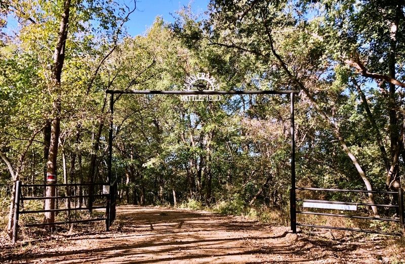
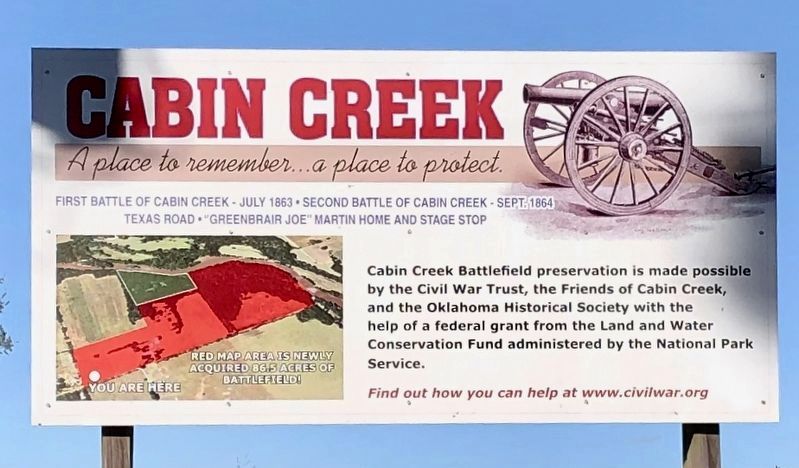
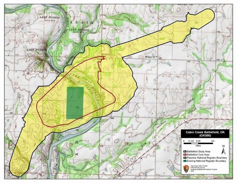
This marker, along with numerous others are located in the Cabin Creek Battlefield Park which is owned by the Oklahoma Historical Society. The American Battlefields Trust has acquired 86.5 additional battlefield acres.
Two Civil War battles were fought at Cabin Creek - both were Confederate raids on Union supply wagon trains moving from Fort Scott toward Fort Gibson. On July 1-2, 1863, Stand Watie and the Confederates failed to stop the wagon train as it crossed Cabin Creek about 10 miles south of what is today Vinita. It was one of the first battles in which African-Americans fought as a unit west of the Mississippi River. On September 19, 1864, Watie and the Confederates won the Second Battle of Cabin Creek, capturing 740 mules,
130 wagons, and more than $1.5 million in supplies, for which they received commendations from President Jefferson Davis and the Confederate Congress. Monuments to the leaders and soldiers of both sides were erected by the United Daughters of the Confederacy and are maintained by the Oklahoma Historical Society and the Friends of Cabin Creek at the battle site.
Also see . . . Oklahoma Historical Society on the Cabin Creek Battlefield Historic Site. (Submitted on October 30, 2019, by Mark Hilton of Montgomery, Alabama.)
Credits. This page was last revised on October 31, 2019. It was originally submitted on October 30, 2019, by Mark Hilton of Montgomery, Alabama. This page has been viewed 327 times since then and 50 times this year. Photos: 1, 2, 3, 4. submitted on October 30, 2019, by Mark Hilton of Montgomery, Alabama. 5. submitted on October 31, 2019, by Mark Hilton of Montgomery, Alabama.
