Near Fort Benton in Chouteau County, Montana — The American West (Mountains)
Mullan Road
Photographed by Barry Swackhamer, August 14, 2019
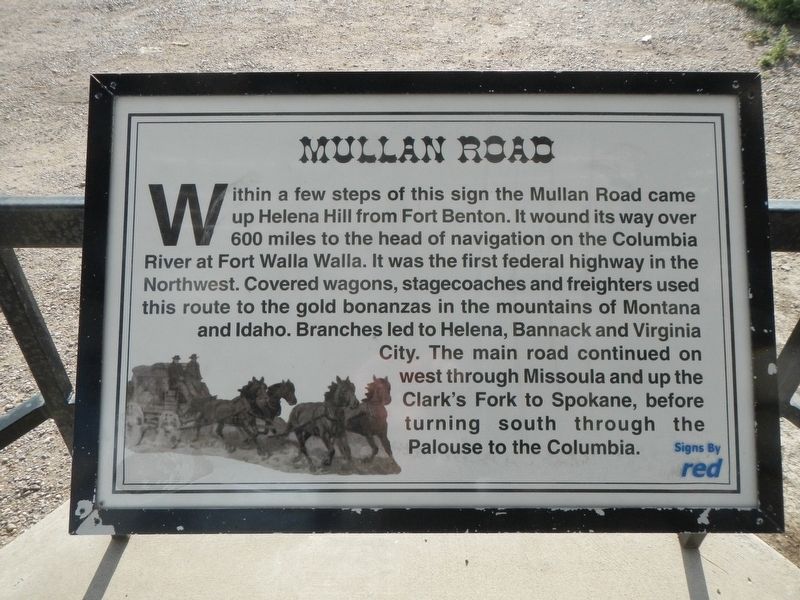
1. Mullan Road Marker
Within a few steps of this sign the Mullan Road came up Helena Hill from Fort Benton. It wound its way over 600 miles to the head of navigation on the Columbia River at Fort Walla Walla. It was the first federal highway in the Northwest. Covered wagons, stagecoaches and freighters used this route to the gold bonanzas in the mountains of Montana and Idaho. Branches led to Helena, Bannack and Virginia City. The main road continued on west through Missoula and up the Clark's Fork to Spokane, before turning south through the Palouse to the Columbia.
Topics. This historical marker is listed in this topic list: Roads & Vehicles.
Location. 47° 48.892′ N, 110° 42.569′ W. Marker is near Fort Benton, Montana, in Chouteau County. It is on U.S. 87 near County Highway 386, on the right when traveling north. Touch for map. Marker is in this post office area: Fort Benton MT 59442, United States of America. Touch for directions.

Regionally, this marker is in Central Montana, in Missouri River Country, and specifically in Russell Country. It is also in the American Mountain West and
this page online
Other nearby markers. At least 8 other markers are within 2 miles of this marker, measured as the crow flies: Fort Benton (here, next to this marker); Steamboat Navigation (here, next to this marker); Chouteau County (here, next to this marker); Lewis and Clark Trail (here, next to this marker); Fur Trade Posts (here, next to this marker); Whoop-up Trail (here, next to this marker); St. Paul's Episcopal Church (approx. 1.7 miles away); a different marker also named St. Paul's Episcopal Church (approx. 1.7 miles away). Touch for a list and map of all markers in Fort Benton.
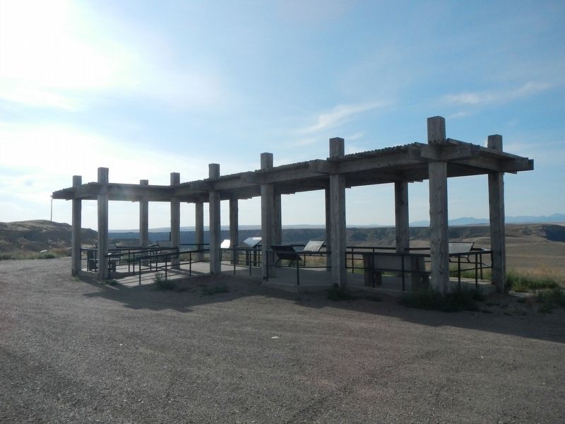
More about this marker. This and six other markers are located at the Missouri River overlook.
Photographed by Barry Swackhamer, August 14, 2019
2. Missouri River overlook kiosk
University of Montana Library, circa 1880
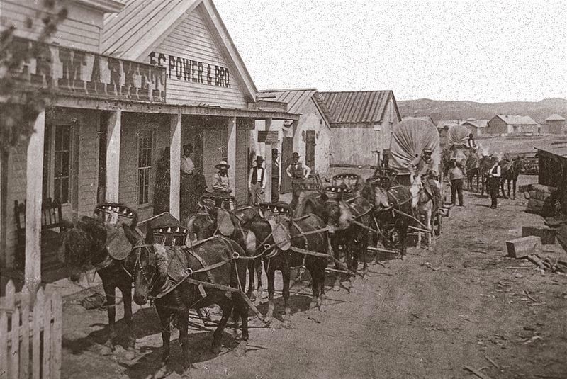
3. Freight wagon at Fort Benton circa 1880s.
Credits. This page was last revised on March 5, 2026. It was originally submitted on October 31, 2019, by Barry Swackhamer of Brentwood, California. This page has been viewed 395 times since then and 38 times this year. Photos: 1, 2, 3. submitted on October 31, 2019, by Barry Swackhamer of Brentwood, California.
