Near Fort Benton in Chouteau County, Montana — The American West (Mountains)
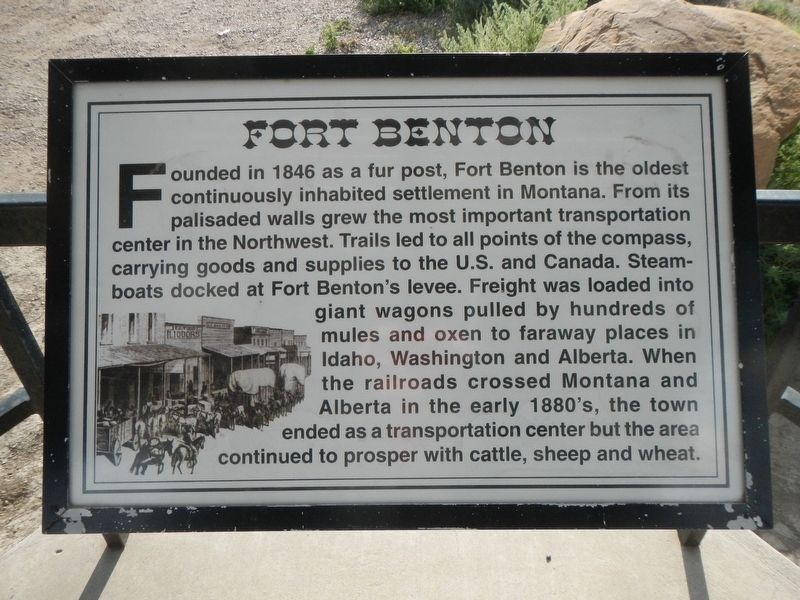
Fort Benton
Photographed by Barry Swackhamer, August 14, 2019
1. Fort Benton Marker
Topics. This historical marker is listed in these topic lists: Industry & Commerce • Settlements & Settlers • Waterways & Vessels.
Location. 47° 48.892′ N, 110° 42.569′ W. Marker is near Fort Benton, Montana, in Chouteau County. It is on U.S. 87 near County Road 386, on the right when traveling north. Touch for map. Marker is in this post office area: Fort Benton MT 59442, United States of America. Touch for directions.

Regionally, this marker
this page online
Other nearby markers. At least 8 other markers are within 2 miles of this marker, measured as the crow flies: Mullan Road (here, next to this marker); Steamboat Navigation (here, next to this marker); Chouteau County (here, next to this marker); Lewis and Clark Trail (here, next to this marker); Fur Trade Posts (here, next to this marker); Whoop-up Trail (here, next to this marker); St. Paul's Episcopal Church (approx. 1.7 miles away); a different marker also named St. Paul's Episcopal Church (approx. 1.7 miles away). Touch for a list and map of all markers in Fort Benton.
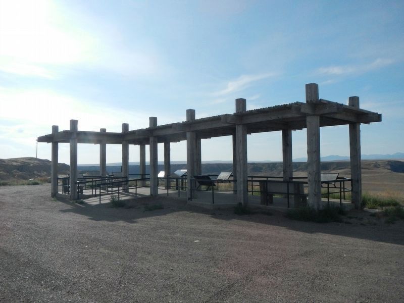
More about this marker. This and six other markers are located at the Missouri River overlook.
Photographed by Barry Swackhamer, August 14, 2019
2. Missouri River Overlook Kiosk
Photographed by Barry Swackhamer
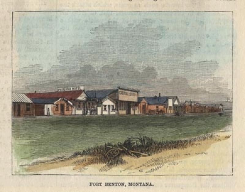
3. Fort Benton, circa 1870
Credits. This page was last revised on November 2, 2019. It was originally submitted on October 31, 2019, by Barry Swackhamer of Brentwood, California. This page has been viewed 464 times since then and 43 times this year. Photos: 1, 2, 3. submitted on October 31, 2019, by Barry Swackhamer of Brentwood, California.
