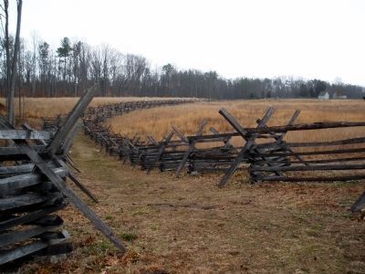
Near Mechanicsville in Hanover County, Virginia — The American South (Mid-Atlantic)
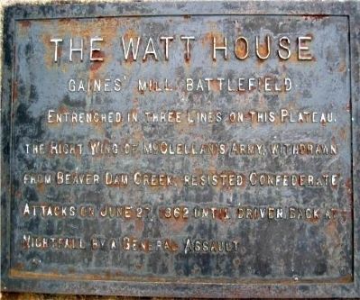
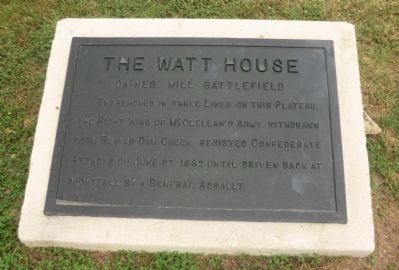
The Watt House
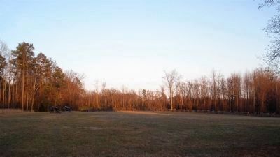
Gaines' Mill Battlefield
Erected by Battlefield Markers Association. (Marker Number 7.)
Topics and series. This historical marker is listed in this topic list: War, US Civil. In addition, it is included in the Freeman Markers (Richmond Battlefields) series list. A significant historical month for this entry is June 1862.
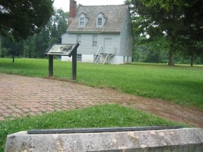
Location. 37° 34.439′ N, 77° 17.443′ W. Marker is near Mechanicsville, Virginia, in Hanover County. Marker is on Watt House Road, 0.6 miles south of Cold Harbor Road. Located in front of the Watt House in the Gaines' Mill unit of the Richmond National Battlefield Park. Touch for map. Marker is in this post office area: Mechanicsville VA 23111, United States of America. Touch for directions.
Other nearby markers. At least 8 other markers are within walking distance of this marker. Springfield Plantation (here, next to this marker); Seven Days Battles (a few steps from this marker); Gaines' Mill (within shouting distance of this marker); The Battle of Gaines’ Mill (within shouting distance of this marker); Lee’s First Victory: At a Huge Cost (within shouting distance of this marker); Confederate Pursuit (within shouting distance of this marker); a different marker also named Battle of Gaines' Mill (about 300 feet away, measured in a direct line); Union Artillery (about 400 feet away). Touch for a list and map of all markers in Mechanicsville.
Additional keywords. Freeman Markers, Richmond Battlefield Parks Corporation, Douglas Southall Freeman
Credits. This page was last revised on November 5, 2021. It was originally submitted on December 7, 2008, by Bernard Fisher of Richmond, Virginia. This page has been viewed 2,330 times since then and 96 times this year. Photos: 1. submitted on December 7, 2008, by Bernard Fisher of Richmond, Virginia. 2. submitted on September 18, 2012, by Don Morfe of Baltimore, Maryland. 3. submitted on December 7, 2008, by Bernard Fisher of Richmond, Virginia. 4, 5. submitted on February 26, 2009, by Bernard Fisher of Richmond, Virginia. • Craig Swain was the editor who published this page.
