Crystal City
| — | Tulsa's Historic Route 66 | — |
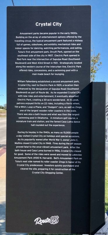
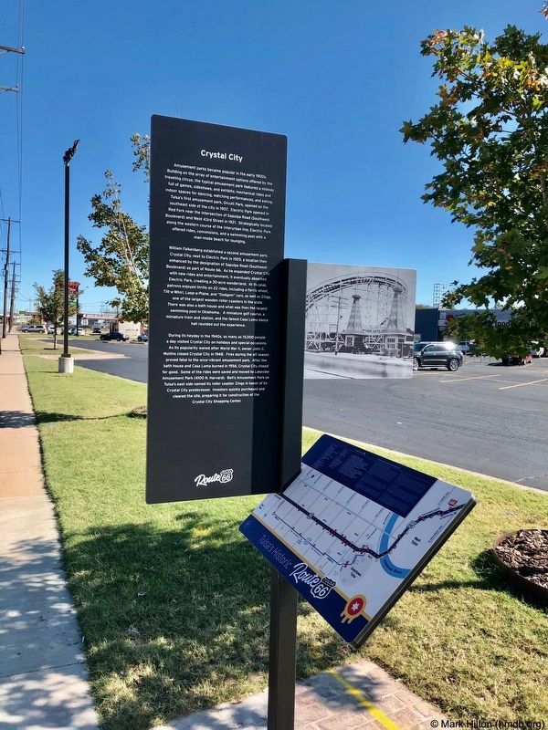
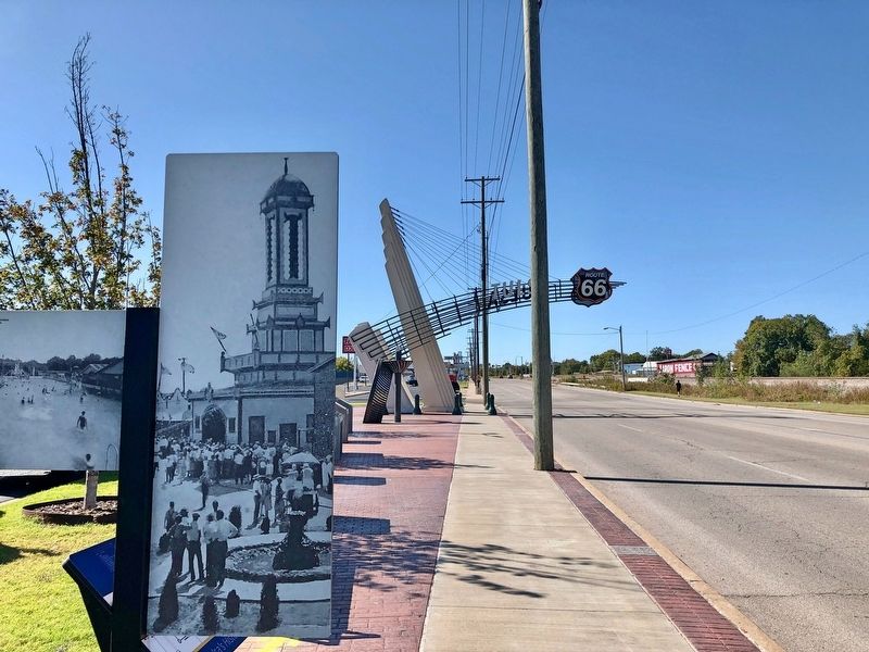
William Falkenberg established a second amusement park, Crystal City, next to Electric Park in 1929, a location then enhanced by the designation of Sapulpa Road (Southwest Boulevard) as part of Route 66. As he expanded Crystal City with new rides and entertainment, it eventually absorbed Electric Park, creating a 30-acre wonderland. At its peak, patrons enjoyed thrills on 22 rides, including a Ferris wheel, Tilt-a-Whirl, Loop-a-Plane, and "Dodgem" cars, as well as Zingo, one of the largest wooden roller coasters in the state. There was also a bath house and what was then the largest swimming pool in Oklahoma. A miniature golf course, a miniature train and station, and the famed Casa Loma dance hall rounded out the experience.
During its heyday in the 1940s, as many as 15,000 people a day visited Crystal City on holidays and special occasions. As its popularity waned after World War II, owner John C. Mullins closed Crystal City in 1948. Fires during the off season proved fatal to the once-vibrant amusement park. After the bath house and Casa Loma burned in 1956, Crystal City closed for good. Some of
this page online
Erected 2019 by Tulsa Route 66 Commission. (Marker Number 29.)
Topics and series. This historical marker is listed in these topic lists: Entertainment • Parks & Recreational Areas. In addition, it is included in the U.S. Route 66 series list. A significant historical year for this entry is 1907.
Location. 36° 6.126′ N, 96° 1.588′ W. Marker is in Tulsa, Oklahoma, in Tulsa County. It is on Southwest Boulevard north of West 43rd Place, on the right when traveling north. Located in front of the Crystal City Shopping Center. Touch for map. Marker is at or near this postal address: 4261 Southwest Boulevard, Tulsa OK 74107, United States of America. Touch for directions.

Regionally, this marker is in Oklahoma’s Muscogee Nation, specifically in the Cherokee Nation, and in Northeast Oklahoma—Green Country. It is also
Other nearby markers. At least 8 other markers are within walking distance of this marker: Settlement of the Nations 1836-1866 (here, next to this marker); Transition 1866-1901 (a few steps from this marker); A New Century 1901-1926 (a few steps from this marker); The Motoring Public 1926 (a few steps from this marker); First Oil Well in Tulsa County (approx. ¼ mile away); Red Fork (approx. 0.3 miles away); Route 66 Historical Village (approx. 0.7 miles away); Clinton Heights (approx. 0.8 miles away). Touch for a list and map of all markers in Tulsa.
Also see . . . Crystal City Amusement Park. BatesLine website entry (Submitted on March 2, 2025, by Larry Gertner of New York, New York.)
Credits. This page was last revised on March 2, 2025. It was originally submitted on November 1, 2019, by Mark Hilton of Montgomery, Alabama. This page has been viewed 2,711 times since then and 208 times this year. Photos: 1, 2, 3. submitted on November 1, 2019, by Mark Hilton of Montgomery, Alabama.
