The Rideau Waterway
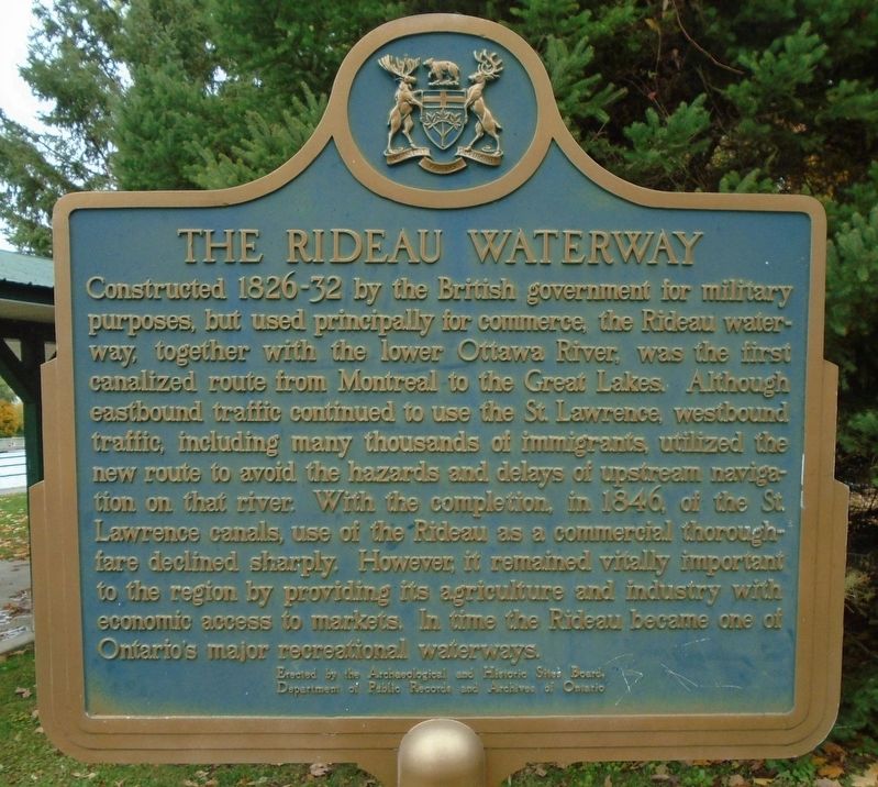
Constructed 1826-32 by the British government for military purposes, but used principally for commerce, the Rideau waterway, together with the lower Ottawa River, was the first canalized route from Montreal to the Great Lakes. Although eastbound traffic continued to use the St. Lawrence, westbound traffic, including many thousands of immigrants, utilized the new route to avoid the hazards and delays of upstream navigation on that river. With the completion, in 1846, of the St. Lawrence canals, use of the Rideau as a commercial thoroughfare declined sharply. However, it remained vitally important to the region by providing its agriculture and industry with economic access to markets. In time the Rideau became one of Ontario's major recreational waterways.
Erected by Archaeological and Historic Sites Board, Department of Public Records and Archives of Ontario.
Topics and series. This historical marker is listed in these topic lists: Agriculture • Industry & Commerce • Settlements & Settlers • Waterways & Vessels. In addition, it is included in the Canada, Ontario Heritage Trust series list. A significant historical year for this entry is 1846.
Location. 44° 53.759′ N,
this page online

Regionally, this marker is in the Haliburton Highlands to Ottawa Valley and in Eastern Ontario. It is also in Central Canada. Globally, it is in North America, the Western Hemisphere, the Western World, and the Anglosphere. Historically, it finds itself in what was once a British colony, the Viceroyalty of New France, the Haudenosaunee (Iroquois) Confederacy, and Rupert’s Land.
Other nearby markers. At least 8 other markers are within walking distance of this marker: Grant Amy (within shouting distance of this marker); Veterans Memorial (within shouting distance of this marker); World War I Memorial (within shouting distance of this marker); Evergreen Avenue (within shouting distance of this marker); The Rideau Waterway / Voie navigable du Canal Rideau (about 120 meters away, measured
Also see . . .
1. History of the Rideau Canal. (Submitted on November 1, 2019, by William Fischer, Jr. of Reynoldsburg, Ohio.)
2. Visit the Rideau Canal. (Submitted on November 1, 2019, by William Fischer, Jr. of Reynoldsburg, Ohio.)
3. Destination: Rideau Canal. (Submitted on November 1, 2019, by William Fischer, Jr. of Reynoldsburg, Ohio.)
Credits. This page was last revised on November 1, 2019. It was originally submitted on November 1, 2019, by William Fischer, Jr. of Reynoldsburg, Ohio. This page has been viewed 240 times since then and 13 times this year. Photos: 1, 2, 3. submitted on November 1, 2019, by William Fischer, Jr. of Reynoldsburg, Ohio.
