
Smiths Falls in Lanark County, Ontario — Central Canada (North America)
Water Works
⎯⎯⎯
Station de Production d'Eau Potable
Photographed by William Fischer, Jr., October 18, 2019
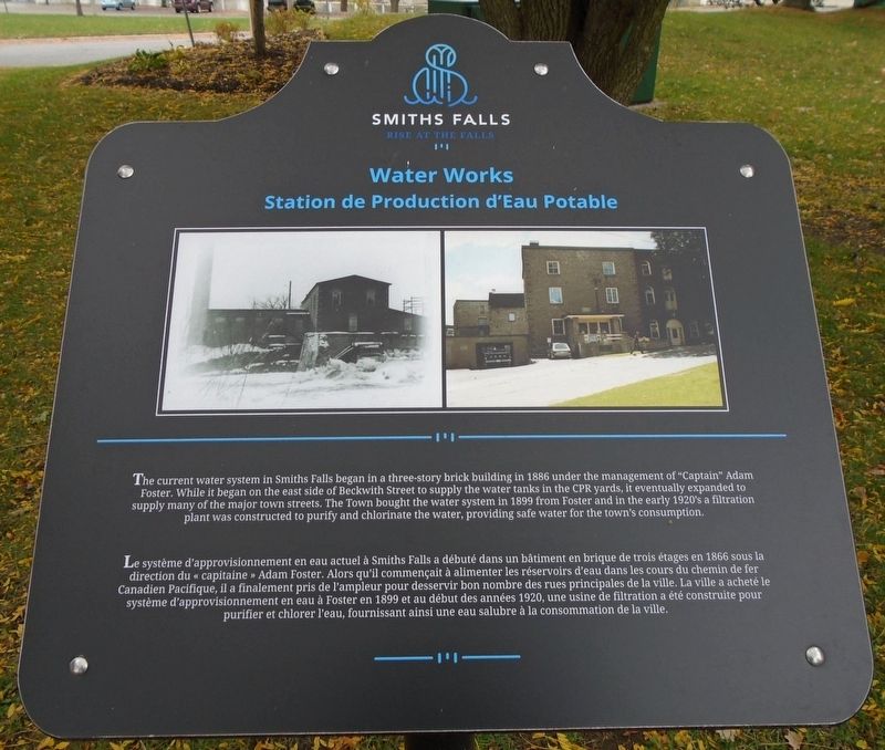
1. Water Works / Station de Production d'Eau Potable Marker

The current water system in Smiths Falls began in a three-story brick building in 1886 under the management of "Captain" Adam Foster. While it began on the east side of Beckwith Street to supply the water tanks in the CPR yards, it eventually expanded to supply many of the major town streets. The Town bought the water system in 1899 from Foster and in the early 1920's a filtration plant was constructed to purify and chlorinate the water, providing safe water for the town's consumption.
Erected by Town
this page online
Topics. This historical marker is listed in these topic lists: Charity & Public Work • Waterways & Vessels. A significant historical year for this entry is 1886.
Location. 44° 53.821′ N, 76° 1.358′ W. Marker is in Smiths Falls, Ontario, in Lanark County. It is at the intersection of Confederation Drive and Old Mill Road, on the left when traveling west on Confederation Drive. Marker is in Centennial Park. Touch for map. Marker is at or near this postal address: 2-22 Confederation Drive, Smiths Falls ON K7A 2P6, Canada. Touch for directions.

Regionally, this marker is in the Haliburton Highlands to Ottawa Valley and in Eastern Ontario. It is also in Central Canada. Globally, it is in North America, the Western Hemisphere, the Western World, and the Anglosphere. Historically, it finds itself in what was once a British colony, the Viceroyalty of New France, the Haudenosaunee (Iroquois) Confederacy, and Rupert’s Land.
Other nearby markers. At least 8 other markers are within walking distance of this marker: Smiths Falls and the Dam / Smiths Falls et le Barrage (a few steps from this marker); Centennial Park
Photographed by William Fischer, Jr., October 18, 2019
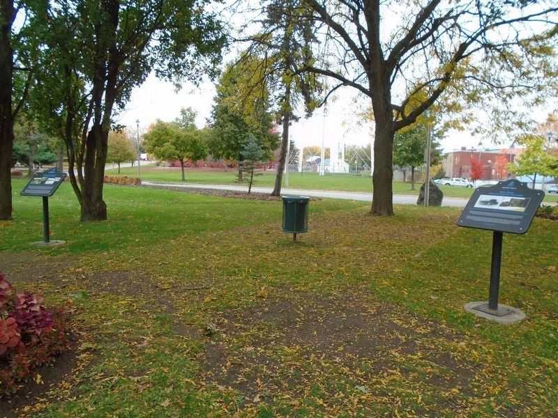
2. Water Works / Station de Production d'Eau Potable Marker
Also see . . .
1. Smiths Falls, Ontario. Town website homepage (Submitted on November 3, 2019, by William Fischer, Jr. of Reynoldsburg, Ohio.)
2. Smiths Fall, Ontario. Wikipedia entry (Submitted on November 3, 2019, by William Fischer, Jr. of Reynoldsburg, Ohio.)
Credits. This page was last revised on March 21, 2025. It was originally submitted on November 3, 2019, by William Fischer, Jr. of Reynoldsburg, Ohio. This page has been viewed 228 times since then and 13 times this year. Photos: 1, 2. submitted on November 3, 2019, by William Fischer, Jr. of Reynoldsburg, Ohio.
