
Smiths Falls in Lanark County, Ontario — Central Canada (North America)
Centennial Park
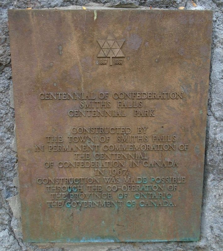
1867 • Centennial of Confederation • 1967
— Smiths Falls —
Photographed By William Fischer, Jr., October 18, 2019
1. Centennial Park Marker
the Town of Smiths Falls
in permanent commemoration of
the Centennial
of Confederation in Canada
in 1967.
Construction was made possible
through the co-operation of
the Province of Ontario
the Government of Canada.
Erected 1967.
Topics. This historical marker is listed in these topic lists: Charity & Public Work • Man-Made Features • Parks & Recreational Areas. A significant historical year for this entry is 1967.
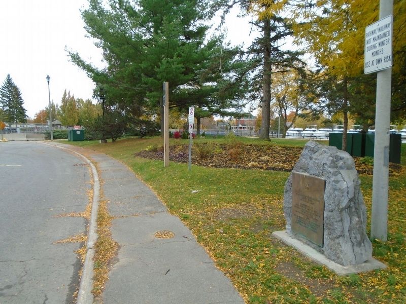
Location. 44° 53.831′ N, 76° 1.357′ W. Marker is in Smiths Falls, Ontario, in Lanark County. Marker is at the intersection of Confederation Drive and Old Mill Road, on the left when traveling west on Confederation Drive. Touch for map. Marker is at or near this postal address: 2-22 Confederation Drive, Smiths Falls ON K7A 2P6, Canada. Touch for directions.
Other nearby markers. At least 8 other markers are within walking distance of this marker. Smiths Falls and the Dam / Smiths Falls et le Barrage (a few steps from this marker); Water Works / Station de Production d'Eau Potable (a few steps from this marker); The Rideau Waterway / Voie navigable du Canal Rideau (within shouting distance of this marker); HMCS/MHCS Smiths Falls (about 90 meters away, measured in a direct line); Welcome to Combined Locks
this page online
Regarding Centennial Park. From the Town of Smiths Falls website:
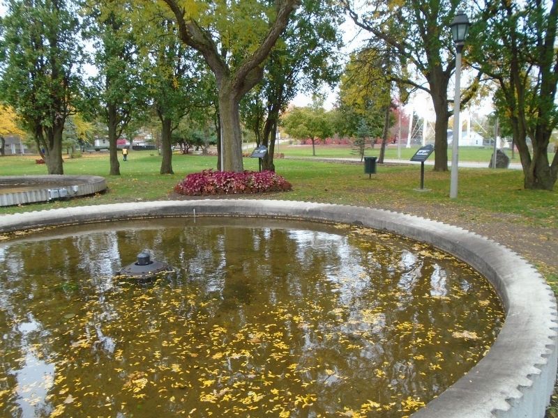
“Home of 100,000 blooms” passive walking park with water fountains along the Rideau canal. This lovely park is a nice place to come and enjoy your lunch, walk along the trail, have a picnic, observe the locks open and close while the boats come and go, chat with the tourists who dock their boats in the summer time, go swimming or just enjoy the scenery.
During the summer months under the water tower you can enjoy movies under the stars with featured movies each week. Grab a blanket and some snacks and take a seat on the grass.
Photographed By William Fischer, Jr., October 18, 2019
2. Centennial Park and Marker
Photographed By William Fischer, Jr., October 18, 2019
3. Centennial Park
Credits. This page was last revised on November 4, 2019. It was originally submitted on November 4, 2019, by William Fischer, Jr. of Scranton, Pennsylvania. This page has been viewed 168 times since then and 9 times this year. Photos: 1, 2, 3. submitted on November 4, 2019, by William Fischer, Jr. of Scranton, Pennsylvania.

