Near Fort Hunter in Montgomery County, New York — The American Northeast (Mid-Atlantic)
The Schoharie Aqueduct
Schoharie Crossing State Historic Site
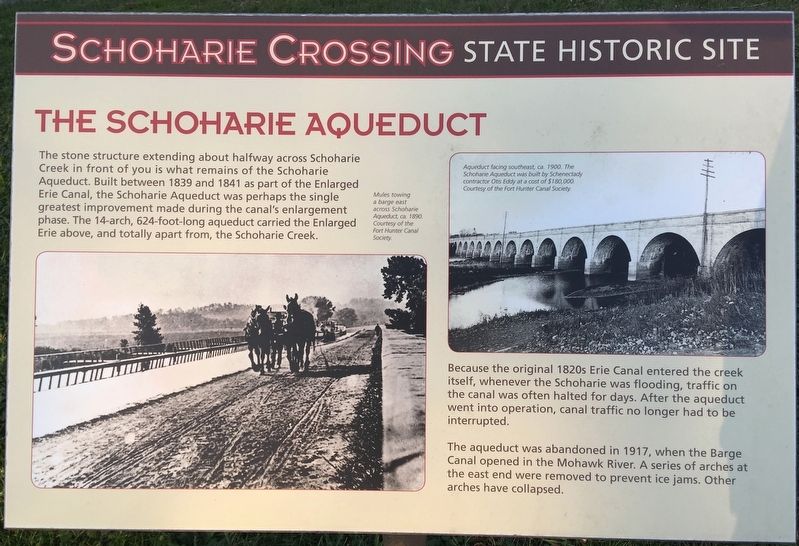
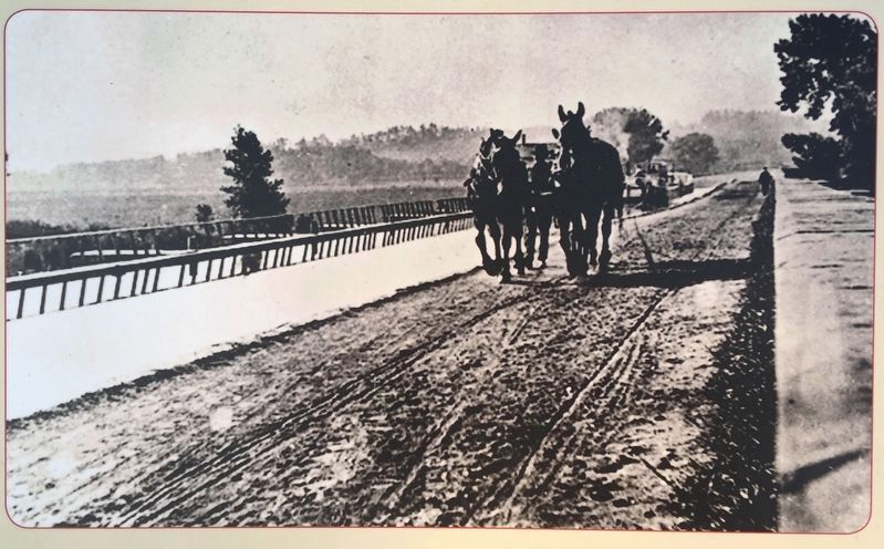
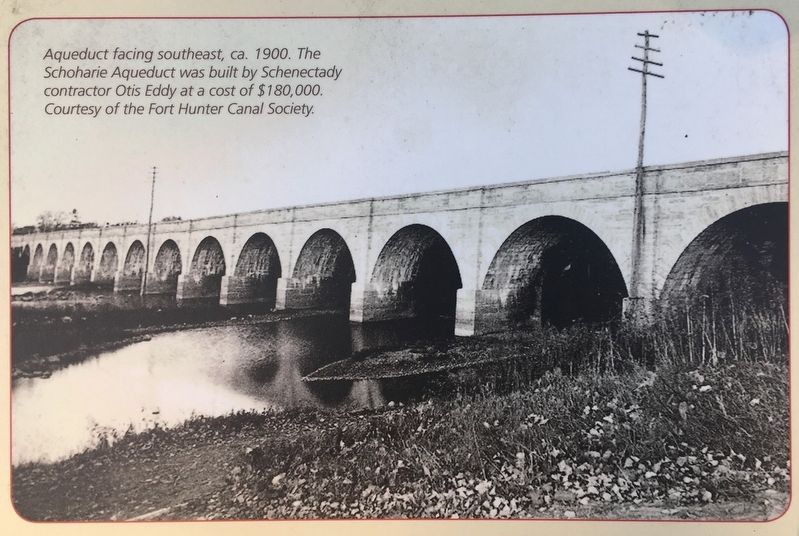
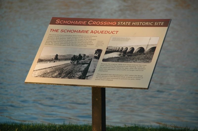
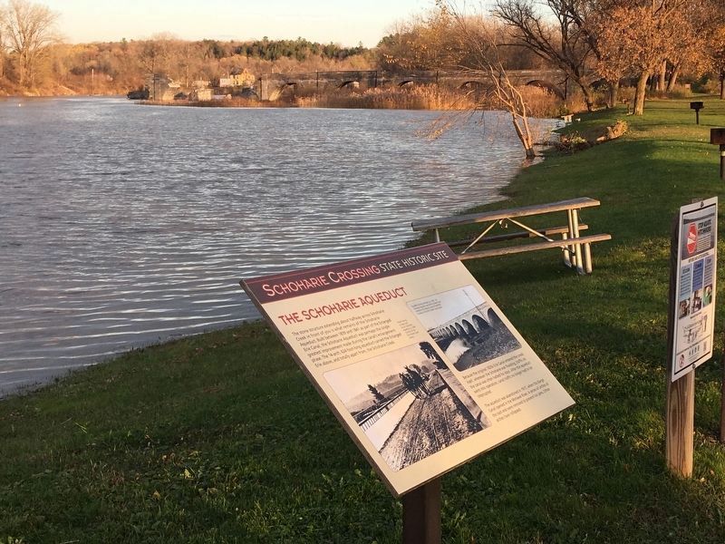
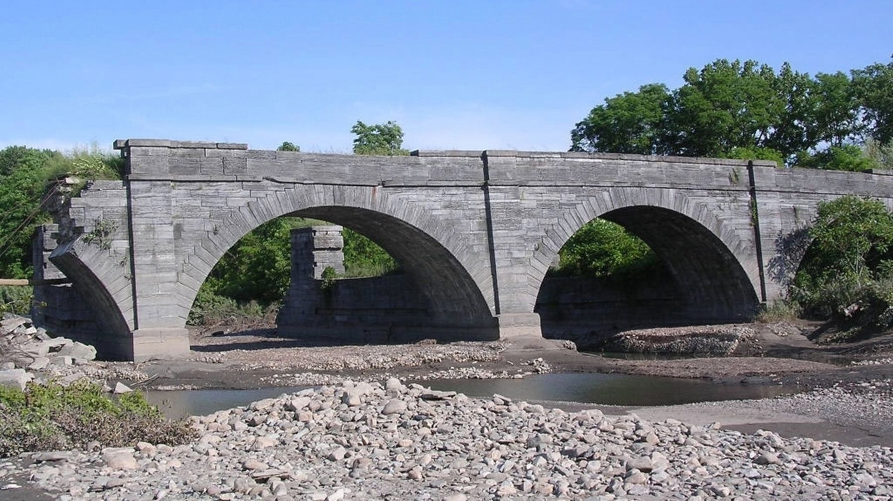
The stone structure extending about halfway across Schoharie Creek in front of you is what remains of the Schoharie Aqueduct. Built between 1839 and 1841 as part of the Enlarged Erie Canal, the Schoharie Aqueduct was perhaps the single greatest improvement made during the canal's enlargement phase. The 14-arch, 624-foot-long aqueduct carried the Enlarged Erie above, and totally apart from, the Schoharie Creek.
Because the original 1820s Erie Canal entered the creek itself, whenever the Schoharie was flooded, traffic on the canal was often halted for days. After the aqueduct went into operation, canal traffic no longer had to be interrupted.
The aqueduct was abandoned in 1917, when the Barge Canal opened in the Mohawk River. A series of arches at the east end were removed to prevent ice jams. Other arches have collapsed
Topics. This historical marker is listed in these topic lists: Man-Made Features • Waterways & Vessels. A significant historical year for this entry is 1839.
Location. 42° 56.364′ N, 74° 17.374′ W. Marker is near Fort Hunter, New York, in Montgomery County. Marker is on Dufel Road, 0.4 miles west of New York State Route 5S, on the right when traveling west. Dufel Road ends at the boat launch parking area which is adjacent to, and immediately south of the Schoharie Creek. The marker is in the grassy area between the creek and the parking area. Touch for map. Marker is in this post office area: Fort Hunter NY 12069, United States of America. Touch for directions.
Other nearby markers. At least 8 other markers are within walking distance of this marker. A different marker also named The Schoharie Aqueduct (approx. 0.2 miles away); Lock 30 (approx. 0.3 miles away); Schoharie Crossing (approx. 0.3 miles away); Once A Farm (approx. 0.4 miles away); Canal Dams (approx. 0.4 miles away); In the Wake of Hurricane Irene (approx. 0.4 miles away); The Fort by the Village (approx. 0.4 miles away); Building Block of the Erie Canal (approx. 0.4 miles away). Touch for a list and map of all markers in Fort Hunter.
Also see . . .
1. Preservation League of NYS; Seven to Save: 2018-19 Edition. (Submitted on November 5, 2019, by Howard C. Ohlhous of Duanesburg, New York.)
2. Schoharie Crossing State Historic Site - The Schoharie Creek Aqueduct. From the website, "ErieCanal.org" (Submitted on November 5, 2019, by Howard C. Ohlhous of Duanesburg, New York.)
3. Schoharie Crossing State Historic Site. (Submitted on November 5, 2019, by Howard C. Ohlhous of Duanesburg, New York.)
4. Schoharie Crossing State Historic Site - National Park Service. Download National Register of Historic Places documentation (Submitted on March 24, 2024, by Anton Schwarzmueller of Wilson, New York.)
Additional keywords.
Seven To Save
Credits. This page was last revised on March 24, 2024. It was originally submitted on November 5, 2019, by Howard C. Ohlhous of Duanesburg, New York. This page has been viewed 273 times since then and 24 times this year. Photos: 1, 2, 3, 4, 5, 6. submitted on November 5, 2019, by Howard C. Ohlhous of Duanesburg, New York. • Michael Herrick was the editor who published this page.
