Near Addington in Jefferson County, Oklahoma — The American South (West South Central)
Chisholm Trail Lookout Point

Photographed by Jerome W Walker, November 3, 2019
1. Chisholm Trail Lookout Point Marker - North Panel
Chisholm Trail Lookout Point
This site was given by Henry and Blanche Price in honor of the Pickens County Cowpunchers Association and all other cowboys and pioneers that used this trail
Replaced March 2007
Oklahoma Centennial Celebration
• — • — •
Millions of longhorns were driven northward across the plains to railheads in Kansas during the period 1867-1889. The great cattle drives not only helped to feed a nation just after the Civil War, they produced one of the nation's most enduring heroes -- the cowboy. The brief era of the open range and free grass generated the greatest cattle boom in world history. This hill was a landmark for drovers who road northward from Red River to a campsite nearby.
• — • — •
Jesse Chisholm
1806-1868
The wagon tracks of Jesse Chisholm across Indian Territory became known as Chisholm's Trail and Texas cowmen using this route gave his name to the entire cattle trail from South Texas to Kansas. The Cherokee-Scot trader was known to Indians as an honest and trustworthy man -- a reputation that served his country well in his activities as an interpreter and peace negotiator with
this page online
• — • — •
Hardships tested the mettle of men on the trail. Severe weather at times made conditions hazardous as well as miserable, and there was always the threat of stampedes caused by a bolt of lightning, a loud clap of thunder, or the trickery of raiders. The scattering of cattle meant that there would be no rest for drovers until the strays were rounded up.
Willis Granite Co.
I. R. Willis, Owner
Bill Willis, Artist
Granite, Okla
Topics. This historical marker is listed in these topic lists: Exploration • Industry & Commerce • Roads & Vehicles. A significant historical month for this entry is March 2007.
Location. 34° 14.717′ N, 97° 55.338′ W. Marker is near Addington, Oklahoma, in Jefferson County. It is on County Road 1910 2½ miles east of U.S. 81, on the right when traveling east. East 1910 Road is also known as Monument Road. Touch for map. Marker is in this post office area: Addington OK 73520, United States of America. Touch for directions.

Regionally, this marker is in the Chickasaw Nation and in Southwest Oklahoma—Great Plains Country. It is also in the American South, specifically on the prairies,

Photographed by Jerome W Walker, November 3, 2019
2. Chisholm Trail Lookout Point Marker - West Panel
Other nearby markers. At least 5 other markers are within 11 miles of this marker, measured as the crow flies: Addington Oil Fire Memorial (approx. 1½ miles away); Waurika Rock Island Depot (approx. 7.2 miles away); Waurika (approx. 7½ miles away); In Dedication To Those Who Served (approx. 9.2 miles away); Southwest Baptist College (approx. 10.7 miles away).
Also see . . .
1. Monument Hill near Addington - Expedition Oklahoma - TypePad. The Lattimore marker is located on the southeast area of Monument Hill. (Submitted on November 7, 2019, by Jerome Walker of Moore, Oklahoma.)
2. Obituary | Roy 'Bo" Wayne Jackson | Dossman Funeral Home. The Jackson marker is located on the southwest area of Monument Hill. (Submitted on November 7, 2019, by Jerome Walker of Moore, Oklahoma.)

Photographed by Jerome W Walker, November 3, 2019
3. Chisholm Trail Lookout Point Marker - South Panel

Photographed by Jerome W Walker, November 3, 2019
4. Chisholm Trail Lookout Point Marker - East Panel

Photographed by Jerome W Walker, November 3, 2019
5. Chisholm Trail Lookout Point Obelisk
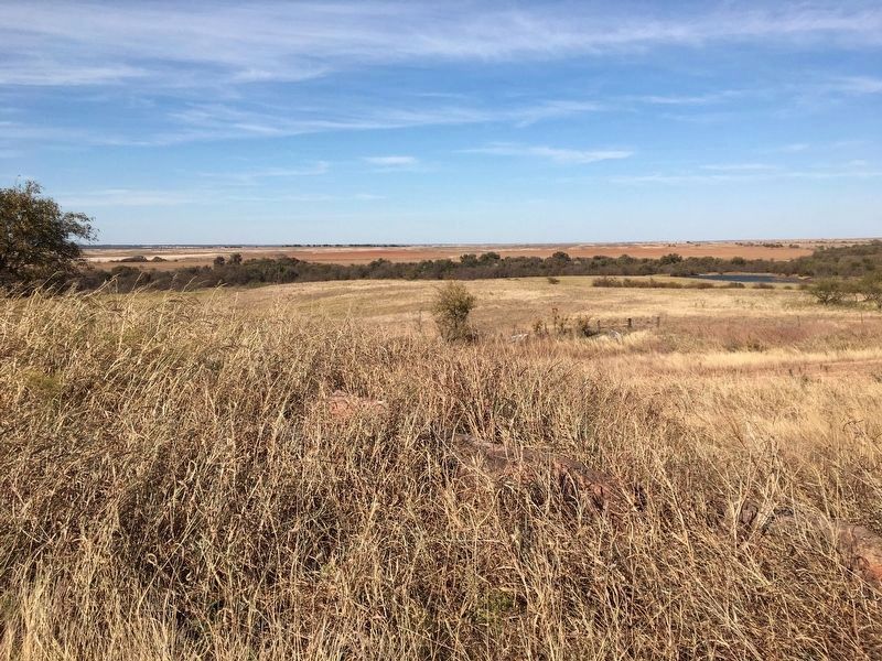
Photographed by Jerome W Walker, November 3, 2019
6. Looking North From Chisholm Trail Lookout Point
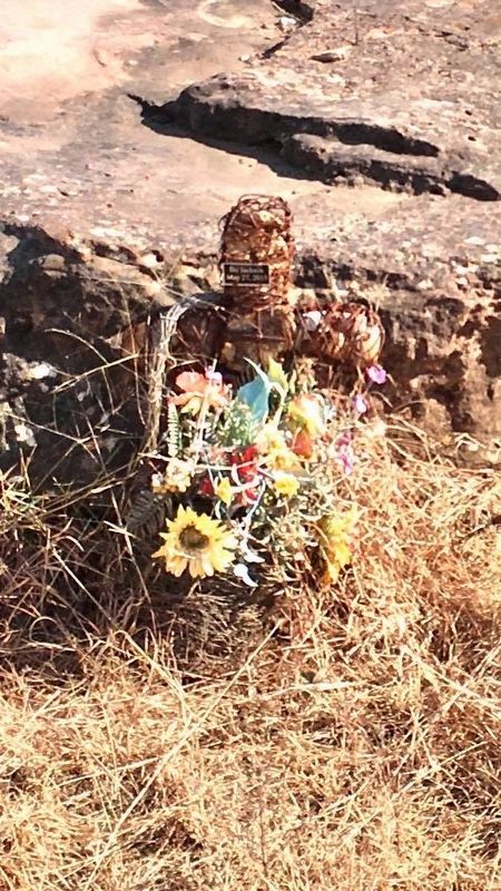
Photographed by Jerome W Walker, November 3, 2019
7. A nearby dedication to Bo Jackson attached to a wire cross filled with rocks
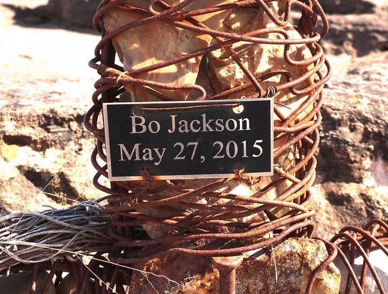
Photographed by Jerome W Walker, November 3, 2019
8. Bo Jackson, May 27, 2015
Credits. This page was last revised on December 31, 2024. It was originally submitted on November 5, 2019, by Jerome Walker of Moore, Oklahoma. This page has been viewed 2,652 times since then and 193 times this year. Photos: 1, 2, 3, 4, 5, 6. submitted on November 5, 2019, by Jerome Walker of Moore, Oklahoma. 7, 8. submitted on November 7, 2019, by Jerome Walker of Moore, Oklahoma. • J. Makali Bruton was the editor who published this page.
