Kendall-Whittier in Tulsa in Tulsa County, Oklahoma — The American South (West South Central)
Admiral Place
Tulsa's Historic Route 66
Photographed by Mark Hilton, October 22, 2019
1. Admiral Place Marker
Inscription.
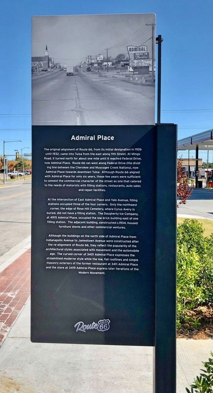
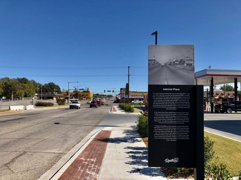
Admiral Place. . The original alignment of Route 66, from its initial designation in 1926 until 1932, came into Tulsa from the east along 11th Street. At Mingo Road, it turned north for about one mile until it reached Federal Drive, now Admiral Place. Route 66 ran west along Federal Drive (the dividing line between the Cherokee and Muscogee Creek Nations), now Admiral Place towards downtown Tulsa. Although Route 66 aligned with Admiral Place for only six years, those few years were sufficient to cement the commercial character of the street as one that catered to the needs of motorists with filling stations, restaurants, auto sales and repair facilities.
At the intersection of East Admiral Place and Yale Avenue, filling stations occupied three of the four corners. Only the northwest corner, the edge of Rose Hill Cemetery, where Cyrus Avery is buried, did not have a filling station. The Daugherty Ice Company. at 4915 Admiral Place, occupied the low brick building east of one filling station. The adjacent building, constructed c.1934, housed furniture stores and other commercial ventures.
Although the buildings on the north side of Admiral Place from Indianapolis Avenue to Jamestown Avenue were constructed after the re-alignment of Route 66, they reflect the popularity of the architectural styles associated with movement and the automobile age. The curved corner of 3401 Admiral Place expresses the streamlined moderne style while the low, flat rooflines and simple masonry exteriors of the former restaurant at 3411 Admiral Place and the store at 3419 Admiral Place express later iterations of the Modern Movement.
The original alignment of Route 66, from its initial designation in 1926
until 1932, came into Tulsa from the east along 11th Street. At Mingo
Road, it turned north for about one mile until it reached Federal Drive,
now Admiral Place. Route 66 ran west along Federal Drive (the dividing line between the Cherokee and Muscogee Creek Nations), now
Admiral Place towards downtown Tulsa. Although Route 66 aligned
with Admiral Place for only six years, those few years were sufficient
to cement the commercial character of the street as one that catered
to the needs of motorists with filling stations, restaurants, auto sales
and repair facilities.
At the intersection of East Admiral Place and Yale Avenue, filling
stations occupied three of the four corners. Only the northwest
corner, the edge of Rose Hill Cemetery, where Cyrus Avery is
buried, did not have a filling station. The Daugherty Ice Company.
at 4915 Admiral Place, occupied the low brick building east of one
filling station. The adjacent building, constructed c.1934, housed
furniture stores and other commercial ventures.
Although the buildings on the north side of Admiral Place from
Indianapolis Avenue to Jamestown Avenue were constructed after
the re-alignment of Route 66, they reflect the popularity of the
architectural styles associated with movement and the automobile
age. The curved corner of 3401 Admiral Place expresses the
streamlined moderne style while the low, flat rooflines and simple
masonry exteriors of the former restaurant at 3411 Admiral Place
and the store at 3419 Admiral Place express later iterations of the
Modern Movement.
Erected 2019 by Tulsa Route 66 Commission. (Marker Number 20.)
• Roads & Vehicles. In addition, it is included in the U.S. Route 66 series list. A significant historical year for this entry is 1926.
Location. 36° 9.642′ N, 95° 56.484′ W. Marker is in Tulsa, Oklahoma, in Tulsa County. It is in Kendall-Whittier. It is at the intersection of East Admiral Place North and North Harvard Avenue, on the right when traveling east on East Admiral Place North. Touch for map. Marker is at or near this postal address: 3230 East Admiral Place North, Tulsa OK 74115, United States of America. Touch for directions.

Regionally, this marker is in Oklahoma’s Muscogee Nation and specifically in the Cherokee Nation. It is also in the American South, specifically on the prairies, and on the Southern Plains. Globally, it is in North America, the Western Hemisphere, the Western World, and the Anglosphere. Historically, it finds itself in what was once the territory of the Mississippian Culture and also the Louisiana Purchase.
Other nearby markers. At least 8 other markers are within one mile of this marker, measured as the crow flies: In Recognition of Elizabeth Russell Sullivan (approx. 0.6 miles away);
Photographed by Mark Hilton, October 22, 2019
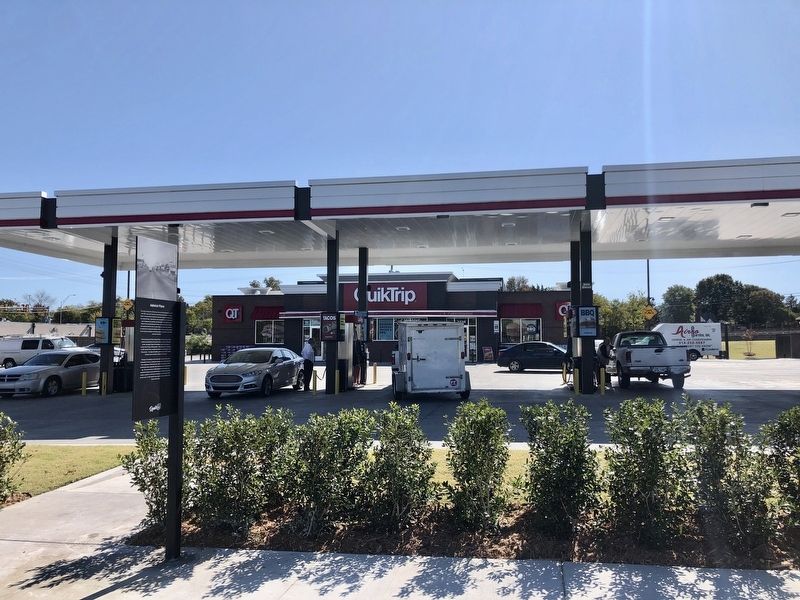
2. Admiral Place Marker next to current filling station.
Credits. This page was last revised on February 16, 2023. It was originally submitted on November 6, 2019, by Mark Hilton of Montgomery, Alabama. This page has been viewed 1,670 times since then and 120 times this year. Photos:1, 2, 3. submitted on November 6, 2019, by Mark Hilton of Montgomery, Alabama.