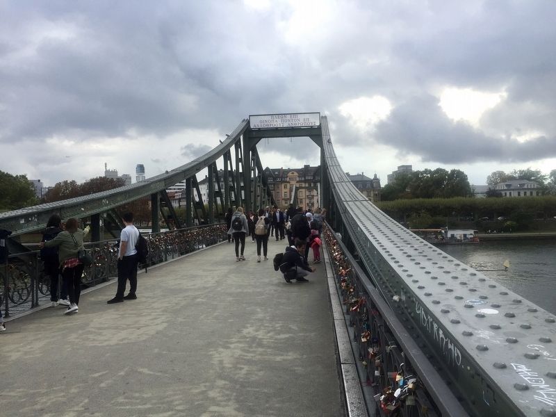
Eiserner Steg / The Iron Bridge
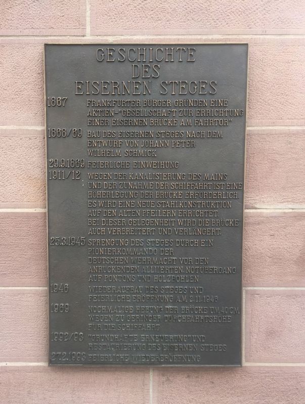
1867 Frankfurter Burger Gründen eine Aktien-"Gesellschaft zur Errichtung einer eisernen Brücke am Fahrtor"
1868/69 Bau des Eisernen Steges nach dem Entwurf von Johann Peter Wilhelm Schmick
29.9.1869 Feierliche Einweihung
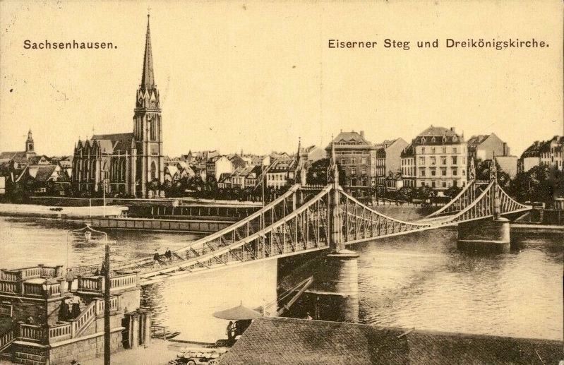
1911/12 Wegen der Kanalisierung des Mains und der Zunahme der Schiffahrt ist eine Hoherlegung der Brucke erforderlich. Es wird eine neue Stahlkonstruktion auf den alten Pfeilern errichtet. Bei dieser Gelegenheit wird die Brücke auch verbreitert und verlängert.
25.3.1945 Sprengung des Steges durch ein Pionierkommando der Deutschen Wehrmacht vor den Anruckenden Alliierten. Notübergang auf Pontons und Holzbohlen
1946 Wiederaufbau des Steges und Feierliche Eröffnung am 2.11.1946
1969 Nochmalige Hebung der Brücke um 40 cm Wegen zu geringer Durchfahrtshöhe für die Schiffahrt
1992/93 "Grundhafte Erneuerung” und Restaurierung des Eisernen Steges
27.2.1993 Feierliche Wiedereröffenung
-
1867 Frankfurt citizens found a stock company - "Corporation for the Erection of an Iron Bridge at the Fahr Gate"
1868-69 Construction of the bridge according
September 29, 1869 Festive inauguration
1911-12 Because of the canalization of the Main River and the resulting increase in shipping traffic, increasing the height of the bridge becomes necessary. A new steel structure is built upon the old pilings. At this time the bridge is also made wider and lengthened.
March 25, 1945 A German army commando blows up the bridge. Crossing afterwards is then by pontoons and wooden planks.
1946 The bridge is reconstructed, with a celebratory opening on November 2, 1946.
1969 The bridge is once again raised, about 40 cm, on account of the tight clearance for ships.
1992-93 "Thorough Renewal” and restoration of the Iron Bridge
February 27, 1993 Reopening celebration
Topics. This historical marker is listed in this topic list: Bridges & Viaducts. A significant historical year for this entry is 1867.
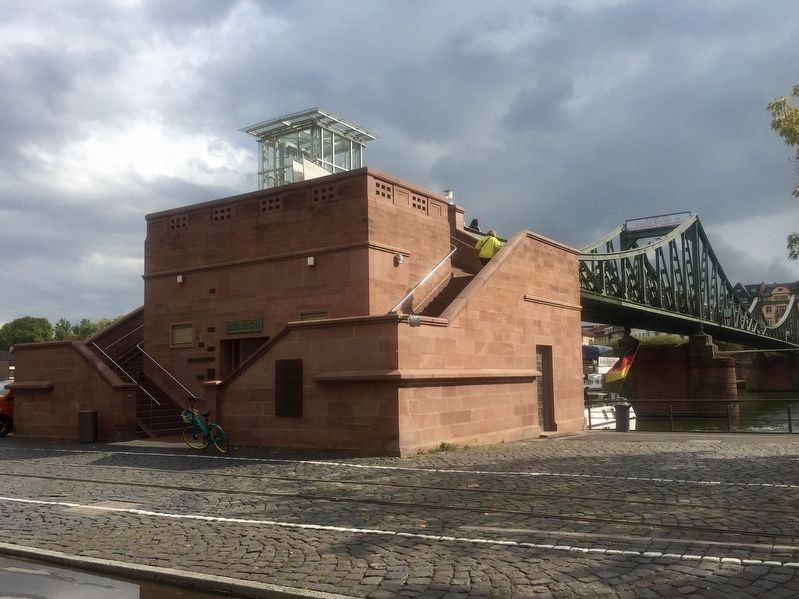
Location. 50° 6.535′ N, 8° 40.91′ E. Marker is in Innenstadt I, Hessen (Hesse), in Frankfurt am Main. Marker is on Mainkai just west of Fahrtor, on the right when traveling east. Touch for map. Marker is at or near this postal address: Mainkai 39, Innenstadt I HE 60311, Germany. Touch for directions.
Other nearby markers. At least 8 other markers are within walking distance of this marker. Rententurm, Fritz Unruh (within shouting distance of this marker); Spolien der Frankfurter Altstadt / Spolia from Frankfurt's historical city centre (about 120 meters away, measured in a direct line); Nazi Student Book Burning of 1933 (about 150 meters away); Römerberg 34: "Haus zum goldenen Rad" / House at the Golden Wheel
Also see . . . Eiserner Steg (Wikipedia). "The Eiserner Steg (English:Iron footbridge) is a footbridge spanning the river Main in the city of Frankfurt, Germany, which connects the centre of Frankfurt with the district of Sachsenhausen.
The first wrought iron bridge was built in 1868. It was replaced in 1911/1912 by a slightly larger cantilever bridge. It is 170 metres long and consists of riveted steel trusses with two bridge piers. The bridge was blown up by the Wehrmacht in the final days of World War II, but it was rebuilt shortly afterwards in 1946. It was fully renovated in 1993." (Submitted on November 6, 2019.)

Credits. This page was last revised on January 28, 2022. It was originally submitted on November 6, 2019, by Andrew Ruppenstein of Lamorinda, California. This page has been viewed 434 times since then and 40 times this year. Photos: 1, 2, 3, 4. submitted on November 6, 2019, by Andrew Ruppenstein of Lamorinda, California.


