East St. Louis in St. Clair County, Illinois — The American Midwest (Great Lakes)
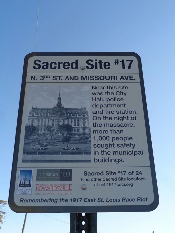
N. 3rd St. and Missouri Ave.
Remembering the 1917 East St. Louis Race Riot
Erected 2017 by The East St. Louis 1917 Centennial Commission & Cultural Initiative, the Meridian Society, and Southern Illinois University Edwardsville. (Marker Number 17.)
Topics and series. This historical marker is listed in this topic list: Law Enforcement. In addition, it is included in the Illinois, Remembering the 1917 East St. Louis Race Riot series list. A significant historical month for this entry is July 1917.
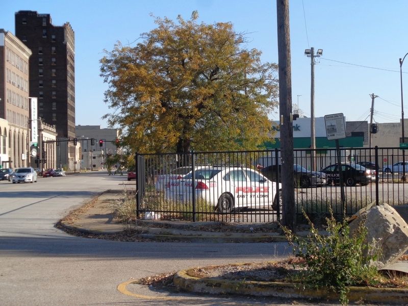
Location. 38° 37.663′ N, 90° 9.66′ W. Marker is in East St. Louis, Illinois, in St. Clair County. Marker is at the intersection of North 3rd Street and Missouri Avenue, on the left when traveling west on North 3rd Street. It is outside the parking lot of East St. Louis Police Department and City Hall. Touch for map. Marker is at or near this postal address: 301 Riverpark Drive, Dupo IL 62239, United States of America. Touch for directions.
Other nearby markers. At least 8 other markers are within walking distance of this marker. N. 4th St. and Division Ave. (approx. 0.2 miles away); Collinsville at St. Louis Avenue (approx. 0.2 miles away); S. 4th St. and E. Broadway (approx. 0.2 miles away); a different marker also named S. 4th St. and E. Broadway (approx. 0.2 miles away); S. 4th St. and Railroad Ave. (approx. 0.3 miles away); S. 5th St. and Railroad Ave. (approx. 0.3 miles away); 700 East Broadway (approx. 0.4 miles away); S. 6th St. and Railroad Ave. (approx. 0.4 miles away). Touch for a list and map of all markers in East St. Louis.
Regarding N. 3rd St. and Missouri Ave.. Near is the municipal building complex, which included the city hall, police department and fire station. The actual address was 115 North Main Street. The police car in which Officers Coppredge and Wadley died was parked outside the station for all to see. It was blood-soaked and riddled with holes. On the night of the massacre, five hundred men, women and children spent the night in the police station for safety, and hundrreds more in the auditorium in the city hall.
Sources:
McLaughlin, Malcolm, Power, Community, and Racial Killing in East St. Louis (New York: Palgrave MacMillan, 2005), p. 127
Salisbury Evening Post, July 3, 1917. p. 6
Credits. This page was last revised on November 8, 2019. It was originally submitted on November 8, 2019, by Jason Voigt of Glen Carbon, Illinois. This page has been viewed 281 times since then and 14 times this year. Photos: 1, 2. submitted on November 8, 2019, by Jason Voigt of Glen Carbon, Illinois. • Devry Becker Jones was the editor who published this page.

